
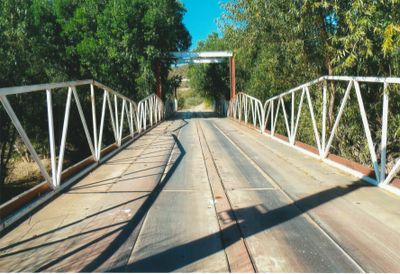
Maggie Mine Bridge
Location: Black Canyon City
GPS coordinates: 34.07184,-112.15596
Latest update: September 23, 2025 16:56
Lake Pleasant Regional Park
21.7 km
Interstate 17
43.8 km
Musical Instrument Museum
47.9 km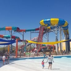
Wet'n'Wild Phoenix
41.9 km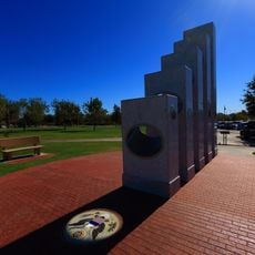
Anthem Veterans Memorial
23.3 km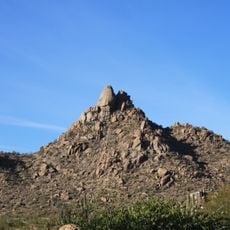
Pinnacle Peak
46.8 km
Wet Beaver Wilderness
54.2 km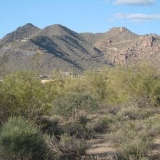
Black Mountain
34.7 km
Martin Auto Museum
47.4 km
Phoenix Arizona Temple
41.6 km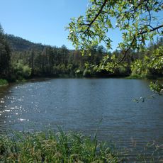
Horsethief Basin Lake
16.6 km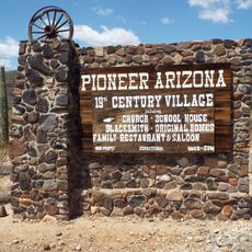
Pioneer Living History Village
28.2 km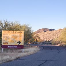
Deer Valley Petroglyph Preserve
43.2 km
Childs-Irving Hydroelectric Facilities
52.2 km
Congregation Beth Israel
42 km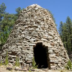
Walker Charcoal Kiln
47.5 km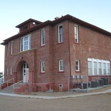
Mayer Red Brick Schoolhouse
37.3 km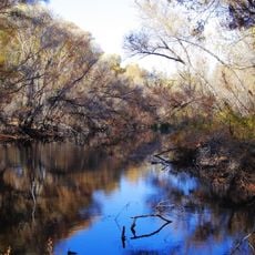
Hassayampa River Preserve
52.3 km
Verde River Sheep Bridge
41.4 km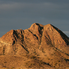
Gavilan Peak
18.6 km
Pinnacle Peak Park
47 km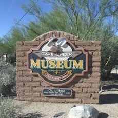
Cave Creek Museum
33.1 km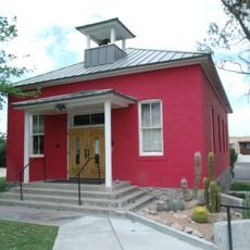
Garcia School
54.3 km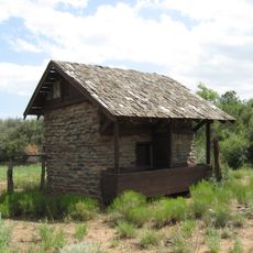
Copper Creek Guard Station
22.8 km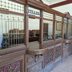
Pioneer Arizona Living History Museum
28.1 km
Old Brick Post Office
54.2 km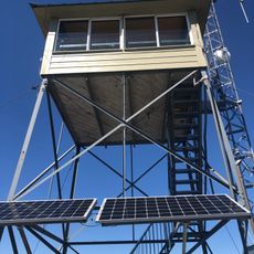
Spruce Mountain Lookout
49.2 km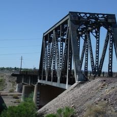
Agua Fria River Bridge
53.5 kmReviews
Visited this place? Tap the stars to rate it and share your experience / photos with the community! Try now! You can cancel it anytime.
Discover hidden gems everywhere you go!
From secret cafés to breathtaking viewpoints, skip the crowded tourist spots and find places that match your style. Our app makes it easy with voice search, smart filtering, route optimization, and insider tips from travelers worldwide. Download now for the complete mobile experience.

A unique approach to discovering new places❞
— Le Figaro
All the places worth exploring❞
— France Info
A tailor-made excursion in just a few clicks❞
— 20 Minutes