South Park, Residential neighborhood in Houston, US
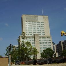
South Park is a residential neighborhood located in south-central Houston, south of the 610 Loop, characterized by tree-lined streets, modest single-family homes, and local shops. The area features several community parks and green spaces scattered throughout, with schools and retail centers serving daily needs.
The neighborhood developed in the 1950s as a post-World War II residential area, with streets named after battle sites that reflected the era's military heritage. This post-war growth established the foundation for the community that exists today.
The renaming of South Park Boulevard to Martin Luther King Boulevard reflects the neighborhood's deep connection to African American heritage and civil rights history. Community institutions and local businesses today continue to shape the area's cultural identity.
The area is served by multiple public transportation routes that connect residents and visitors to other parts of Houston, making travel around the region straightforward. Schools, grocery stores, and shopping centers are distributed throughout, offering convenient access to everyday services.
The neighborhood initially attracted white middle-class residents but underwent significant demographic changes over the decades, reflecting broader shifts in Houston's urban landscape. This transformation offers insight into how residential communities adapt and evolve over time.
The community of curious travelers
AroundUs brings together thousands of curated places, local tips, and hidden gems, enriched daily by 60,000 contributors worldwide.