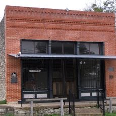
Burnet County, County administration center in central Texas, United States
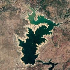
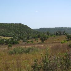
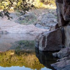
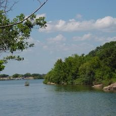
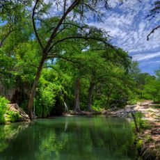
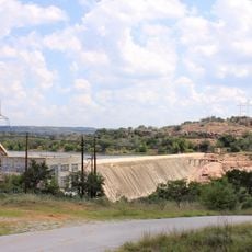
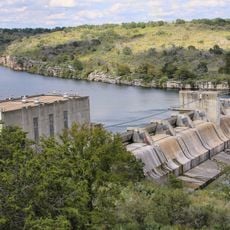
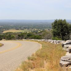
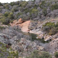
Burnet County is an administrative division in central Texas, spanning roughly 1,000 square miles (2,590 square kilometers) of granite hills, limestone formations, and reservoirs. The landscape is defined by two prominent lakes, Lake Buchanan and Inks Lake, which cut through rolling terrain.
The legislature established it in 1852 as a new administrative division, naming it after David Burnet, who served as president of the Republic of Texas. It was carved from portions of three existing counties that surrounded the newly created territory.
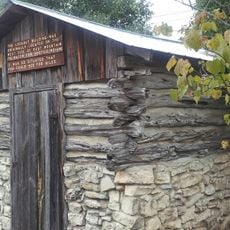
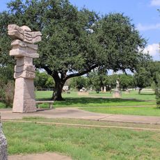
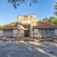
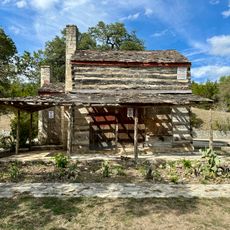
Ranching and farming shape daily life across the territory, continuing traditions rooted in the 19th century settlements of the Texas Hill Country. You can see working ranches, grazing lands, and the way residents maintain their agricultural heritage in modern times.
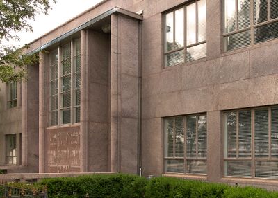
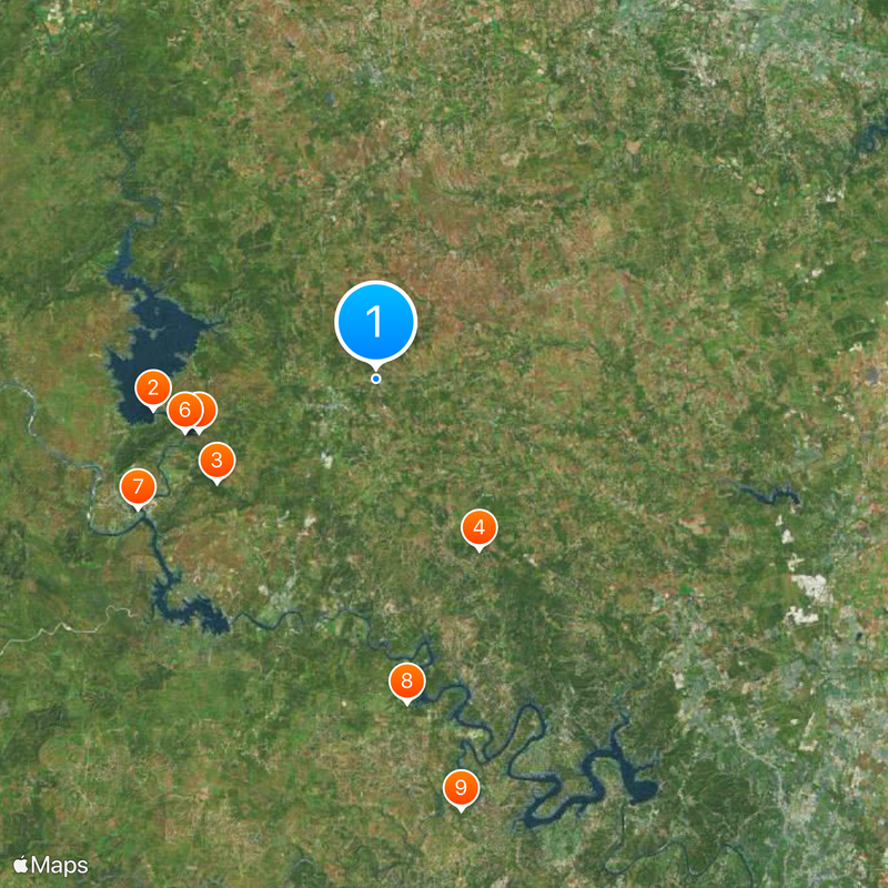
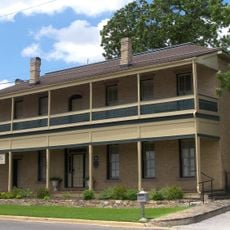
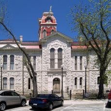
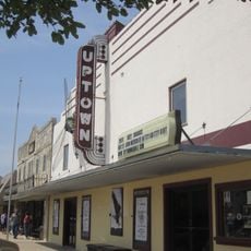
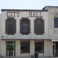
Those needing government services can visit the county courthouse located in the city of Burnet on South Pierce Street. The central location serves as a hub for accessing public services and navigating the broader territory.
The region contains substantial deposits of pink granite, the same stone used to build the Texas State Capitol in Austin. This geological feature gave the area economic importance and shaped its industrial heritage.
Location: Texas
Inception: February 5, 1852
Capital city: Burnet
Shares border with: Blanco County, Bell County, San Saba County, Lampasas County, Williamson County, Travis County, Llano County
Website: http://burnetcountytexas.org
GPS coordinates: 30.78000,-98.18000
Latest update: December 7, 2025 10:03
Lake Buchanan
23 km
Longhorn Cavern State Park
19.5 km
Balcones Canyonlands National Wildlife Refuge
20.5 km
Inks Lake State Park
19 km
Inks Lake
20.3 km
Antlers Hotel
27.9 km
Krause Springs
33.5 km
Levi Rock Shelter
45.2 km
Inks Dam
20.3 km
Max Starcke Dam
25.9 km
Fort Croghan
6.1 km
Texas Museum of Science and Technology
46.9 km
Liberty Hill International Sculpture Park
29 km
Roper Hotel
25 km
Burnet County Courthouse
5.2 km
Austin and Northwestern Railroad Historic District-Fairland to Llano
27.9 km
Austin Steam Train Association
44.3 km
Longhorn Cavern Administration Building
19.5 km
Sulfur Creek Bridge
30.7 km
Lampasas County Courthouse
31.8 km
Bertram Depot
12.6 km
Park Road 4 Historic District
21.1 km
Devils Waterhole
17.6 km
Uptown Marble Theater
25 km
Lampasas Colored School
31.7 km
John M. King Log House
47.6 km
Briggs State Bank
27.2 km
Lake Marble Falls
25.9 kmVisited this place? Tap the stars to rate it and share your experience / photos with the community! Try now! You can cancel it anytime.
Discover hidden gems everywhere you go!
From secret cafés to breathtaking viewpoints, skip the crowded tourist spots and find places that match your style. Our app makes it easy with voice search, smart filtering, route optimization, and insider tips from travelers worldwide. Download now for the complete mobile experience.
A unique approach to discovering new places❞
— Le Figaro
All the places worth exploring❞
— France Info
A tailor-made excursion in just a few clicks❞
— 20 Minutes