Enable Location

We need your location to show you interesting places around you

Discover nearby places

Find interesting locations and hidden gems around you

Precise directions

Get accurate directions and distances to places

Your location is never shared with other users. It's only used when you tap the location button.

Coosa County

Log in to your account

Start exploring — it's free

Trusted by 61,877 travelers worldwide

Continue with Google
Continue with Apple
or

We will send you a code to connect

By continuing, you accept our Terms and Conditions and our Privacy Policy

Check your inbox

We've sent a pincode in your inbox. Please enter the code below.

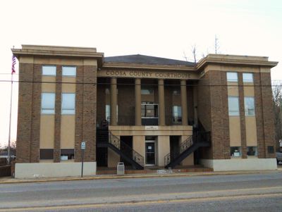
Coosa County, County administrative division in east-central Alabama, United States

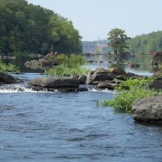
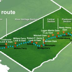
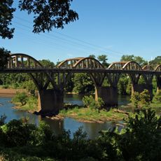
Coosa County is an administrative county in east-central Alabama that covers a sizable area with several lakes and rivers. The Coosa River forms the western boundary, while Rockford serves as the administrative center with water features including Lay Lake, Lake Martin, and Mitchell Lake throughout the territory.

The county was established in 1832 by the Alabama State Legislature following the acquisition of Creek Indian lands through the Treaty of Cusseta. This founding marked a major shift in regional administration and settlement patterns.

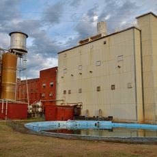
Textile manufacturing shaped daily life for generations, with large factories like Avondale Mills operating until 2006 and drawing workers to the area. This industrial heritage remains visible in the towns and communities that grew around these workplaces.

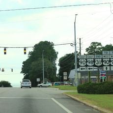
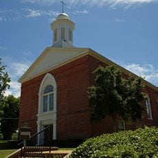
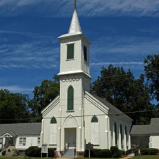
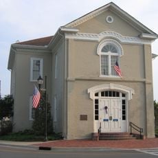
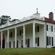
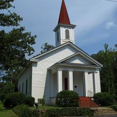
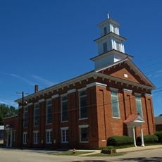
The county is reasonably accessible to explore, with several lakes available for recreation and outdoor activities throughout the area. Rockford, as the administrative center, offers the most services and is a natural starting point for visitors exploring the region.

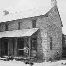
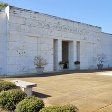
Rockford houses the Old Rock Jail, the first purpose-built jail facility in Alabama and a rare example of early correctional architecture. This structure shows how the area played a role in developing the state's legal institutions.

The community of curious travelers

AroundUs brings together thousands of curated places, local tips, and hidden gems, enriched daily by 60,000 contributors worldwide.

Start exploring
Location
Inception
December 18, 1832
Capital city
Rockford
Elevation above the sea
130 m
Shares border with
Talladega County, Elmore County, Clay County, Tallapoosa County, Chilton County, Shelby County
GPS coordinates
32.93639,-86.24639
Latest update
December 7, 2025 19:22
Around this place
Lake Martin
United States of America

Lake Martin

37.4 km
U.S. Route 31
United States of America

U.S. Route 31

47 km
Pinhoti National Recreation Trail
United States of America

Pinhoti National Recreation Trail

11.1 km
Jordan Lake
United States of America

Jordan Lake

35.3 km
Kymulga Mill & Covered Bridge
United States of America

Kymulga Mill & Covered Bridge

44.6 km
Alabama Confederate Soldiers Home
United States of America

Alabama Confederate Soldiers Home

32.1 km
Alabama Scenic River Trail
United States of America

Alabama Scenic River Trail

26.8 km
Shelby Iron Company
United States of America

Shelby Iron Company

37.9 km
Bibb Graves Bridge
United States of America

Bibb Graves Bridge

44.5 km
First Baptist Church of Wetumpka
United States of America

First Baptist Church of Wetumpka

44.4 km
First Presbyterian Church of Wetumpka
United States of America

First Presbyterian Church of Wetumpka

44.4 km
Old Rock House
United States of America

Old Rock House

46.3 km
Old Shelby County Courthouse
United States of America

Old Shelby County Courthouse

43 km
Russell Family Historic District
United States of America

Russell Family Historic District

26.6 km
Verbena United Methodist Church
United States of America

Verbena United Methodist Church

32.4 km
First United Methodist Church
United States of America

First United Methodist Church

44.3 km
A.J. and Emma E. Thomas Coley House
United States of America

A.J. and Emma E. Thomas Coley House

27.8 km
B. B. Comer Memorial Library
United States of America

B. B. Comer Memorial Library

26.8 km
Reuben Herzfeld House
United States of America

Reuben Herzfeld House

27.9 km
Avondale Historic District
United States of America

Avondale Historic District

28.5 km
Goodwin-Hamilton House
United States of America

Goodwin-Hamilton House

25.4 km
William Averiett House
United States of America

William Averiett House

26.2 km
North Central Historic District
United States of America

North Central Historic District

27 km
South Central Historic District
United States of America

South Central Historic District

27.6 km
Clanton Drive-In
United States of America

Clanton Drive-In

38.5 km
Flag Mountain Lookout Tower
United States of America

Flag Mountain Lookout Tower

11.1 km
Peach Water Tower
United States of America

Peach Water Tower

36 km
Lighthouse at Peach Park
United States of America

Lighthouse at Peach Park

34.1 km
Show the full map
« Coosa County - County administrative division in east-central Alabama, United States » is provided by Around Us (aroundus.com). Images and texts are derived from Wikimedia project under a Creative Commons license. You are allowed to copy, distribute, and modify copies of this page, under the conditions set by the license, as long as this note is clearly visible.

Discover hidden gems everywhere you go!

From secret cafés to breathtaking viewpoints, skip the crowded tourist spots and find places that match your style. Our app makes it easy with voice search, smart filtering, route optimization, and insider tips from travelers worldwide. Download now for the complete mobile experience.

Around Us App Screenshot

A unique approach to discovering new places

Le Figaro

All the places worth exploring

France Info

A tailor-made excursion in just a few clicks

20 Minutes

Around Us
Travel Guide & Maps
Download

Send to your phone

QR Code
1

Open the camera app on your mobile.

2

Point at the QR code with your camera. A notification will appear.

3

Tap the notification to open the link.