Chest opened
+${chestReward.xp} XP
Explorer
NOUVEAU ×${chestReward.collectible.quantity}
tapez pour fermer
Chest locked

Open chests in the app

Around Us is built for your phone — chests unlock when you walk, explore and capture nearby places.

Enable Location

We need your location to show you interesting places around you

Discover nearby places

Find interesting locations and hidden gems around you

Precise directions

Get accurate directions and distances to places

Your location is never shared with other users. It's only used when you tap the location button.

Log in to your account

Start exploring — it's free

Trusted by 72,890 travelers worldwide

Continue with Google
Continue with Apple
or

We will send you a code to connect

By continuing, you accept our Terms and Conditions and our Privacy Policy

Check your inbox

We've sent a pincode in your inbox. Please enter the code below.

Dog Island
Discussion Reviews Photo
36.2k Popularity

Dog Island, Nature preserve island in Franklin County, United States.

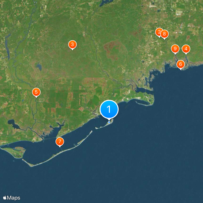
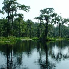
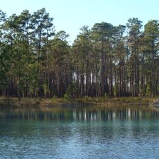
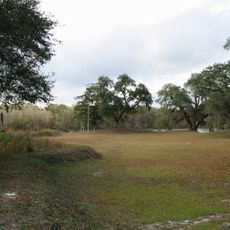
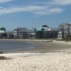
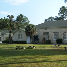
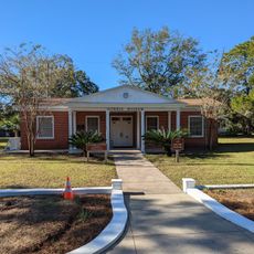
Dog Island is an island off Florida's Gulf Coast that extends for several miles and features natural sandy beaches and undeveloped coastal landscapes. The land is shaped by sand dunes, salt-tolerant vegetation, and open beach areas with minimal structures or development.

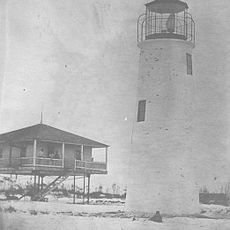
The island was inhabited by Native Americans over 8000 years ago, as confirmed by archaeological discoveries made in 1985. A severe storm in 1899 caused multiple shipwrecks in the waters around the island, with remains that were later exposed by natural events.

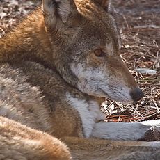
The island maintains strict conservation practices, protecting native species like the Dog Island wren and preserving designated bird nesting areas.

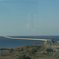
Reaching the island requires a private boat or ferry service, as no bridges connect it to the mainland. Plan for limited transportation options and be prepared for natural conditions typical of an undeveloped barrier island.

After Hurricane Michael in 2018, several shipwrecks were exposed that had rested on the seafloor for decades. These maritime finds make the island an important location for understanding past storms and shipping history.

The community of curious travelers

AroundUs brings together thousands of curated places, local tips, and hidden gems, enriched daily by 60,000 contributors worldwide.

Start exploring
Location
GPS coordinates
29.80577,-84.59435
Latest update
December 17, 2025 11:10
Around this place
Wakulla Springs
United States of America

Wakulla Springs

55.5 km
Apalachicola National Forest
United States of America

Apalachicola National Forest

45.7 km
St. Marks National Wildlife Refuge
United States of America

St. Marks National Wildlife Refuge

57.7 km
Fort Gadsden
United States of America

Fort Gadsden

43.2 km
St. Marks Light
United States of America

St. Marks Light

49.9 km
St. George Island Bridge
United States of America

St. George Island Bridge

30.8 km
Edward Ball Wakulla Springs State Park
United States of America

Edward Ball Wakulla Springs State Park

56.1 km
San Marcos de Apalache Historic State Park
United States of America

San Marcos de Apalache Historic State Park

53.4 km
St. Vincent National Wildlife Refuge
United States of America

St. Vincent National Wildlife Refuge

54.8 km
Ochlockonee River State Park
United States of America

Ochlockonee River State Park

24 km
Cape St. George Light
United States of America

Cape St. George Light

50.1 km
Orman House
United States of America

Orman House

39.2 km
John Gorrie State Museum
United States of America

John Gorrie State Museum

38.8 km
John Gorrie Memorial Bridge
United States of America

John Gorrie Memorial Bridge

34.4 km
Crooked River Light
United States of America

Crooked River Light

10.5 km
United States of America

Wakulla State Forest

57.3 km
Camp Gordon Johnston Museum
United States of America

Camp Gordon Johnston Museum

9.9 km
Old Sopchoppy High School Gymnasium
United States of America

Old Sopchoppy High School Gymnasium

29.7 km
Apalachicola Historic District
United States of America

Apalachicola Historic District

39.4 km
Shell Point Beach
United States of America

Shell Point Beach

40.4 km
Old Wakulla County Courthouse
United States of America

Old Wakulla County Courthouse

46.2 km
David G. Raney House
United States of America

David G. Raney House

38.8 km
Sopchoppy School
United States of America

Sopchoppy School

29.6 km
Mount Beasor Primitive Baptist Church
United States of America

Mount Beasor Primitive Baptist Church

32.7 km
San Marcos de Apalache Historic State Park
United States of America

San Marcos de Apalache Historic State Park

53.4 km
Carrabelle History Museum
United States of America

Carrabelle History Museum

8.4 km
Gorrie Museum
United States of America

Gorrie Museum

38.9 km
Dog Island Light
United States of America

Dog Island Light

7.4 km
Show the full map
Reviews
Share your experience

No review yet

Discussions
Start a discussion...

No discussion yet

« Dog Island - Nature preserve island in Franklin County, United States » is provided by Around Us (aroundus.com). Images and texts are derived from Wikimedia project under a Creative Commons license. You are allowed to copy, distribute, and modify copies of this page, under the conditions set by the license, as long as this note is clearly visible.

Discover hidden gems everywhere you go!

From secret cafés to breathtaking viewpoints, skip the crowded tourist spots and find places that match your style. Our app makes it easy with voice search, smart filtering, route optimization, and insider tips from travelers worldwide. Download now for the complete mobile experience.

Around Us App Screenshot

A unique approach to discovering new places

Le Figaro

All the places worth exploring

France Info

A tailor-made excursion in just a few clicks

20 Minutes

Around Us
Travel Guide & Maps
Download

Send to your phone

QR Code
1

Open the camera app on your mobile.

2

Point at the QR code with your camera. A notification will appear.

3

Tap the notification to open the link.