Indian River Lagoon, Estuary system on Florida's Atlantic Coast, US
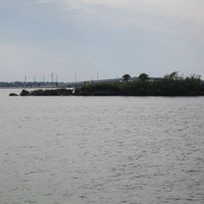
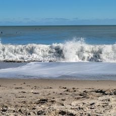
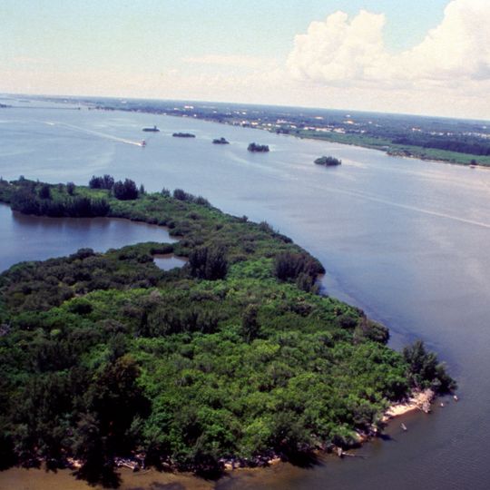
The Indian River Lagoon is a grouping of three lagoons—Mosquito Lagoon, Banana River and Indian River—on Florida's Atlantic Coast. It runs 156 miles (251 km) from Ponce de León Inlet to Jupiter Inlet, varies in width from 0.5 to 5 miles (0.8 to 8 km) and averages 4 feet (1.2 m) deep. Its shoreline includes narrow inlets, patches of sand and exposed soil, and low islands covered in dark green vegetation.
The lagoon appears on early Spanish maps as the Rio de Ais, named for the Ais people who lived along Florida's east coast. An expedition led by Alvero Mexia in 1605 mapped most of the lagoon, recording names such as Los Mosquitos and Haulover. Shell middens left by the Ais, piled with clam, oyster and mussel refuse, show how much they relied on the lagoon's fish and shellfish.
The lagoon's name comes from early Spanish maps, where it appeared as the Rio de Ais, after the Ais people who lived along Florida's east coast. A 1605 expedition led by Alvero Mexia mapped most of the waterway, and the map named Los Mosquitos, Haulover, Ulumay Lagoon, Rio d'Ais and Pentoya Lagoon.
The lagoon runs 156 miles from Ponce de León Inlet in Volusia County to Jupiter Inlet in Palm Beach County, with Haulover Canal linking Mosquito Lagoon to the Indian River. Its width ranges from 0.5 to 5 miles and it averages 4 feet deep, so shallow-draft boats are needed. The Okeechobee Waterway and St. Lucie River join it at Sewall's Point.
The lagoon holds 35 species listed as threatened or endangered, more than any other estuary in North America. Nearly a third of the nation's manatees live in or migrate through it, and between 200 and 800 bottlenose dolphins reside here. In 2016 a right whale and her calf entered by mistake and found their way back to the ocean.
The community of curious travelers
AroundUs brings together thousands of curated places, local tips, and hidden gems, enriched daily by 92,735 contributors worldwide.