Canaveral National Seashore, National seashore in Florida, United States
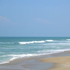
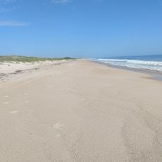
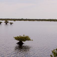
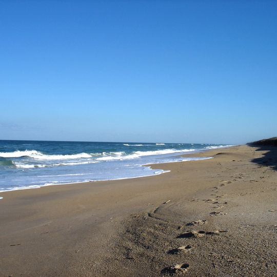
Canaveral National Seashore is a 24-mile barrier-island shoreline between New Smyrna Beach and Titusville, split between Volusia and Brevard counties. It holds three beach sections: Playalinda in the south, Klondike in the middle and Apollo in the north, backed by dunes, mangrove wetlands and much of Mosquito Lagoon. The sand is tan and marked with footprints and dark fragments; low dunes carry dark vegetation, and tall thin grasses with brown seed heads grow along the shore.
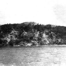
Paleo-Indians hunted, gathered and later cultivated here from as early as 2000 BCE, leaving mounds and middens. Castle Windy, a 17-foot midden on the barrier island, dates from 1200 CE and continued for another 300 years. Turtle Mound, 35 feet high and the largest midden, was called Surruque by early Spanish mapmakers and later served sailors as a navigation landmark; William Bartram documented it in 1774 and André Michaux in 1788.
Spanish mapmakers of the 16th century recorded Canaveral and Los Moquitos, now Cape Canaveral and Mosquito Lagoon, among the oldest place names in North America. Turtle Mound, a 35-foot shell midden, served sailors as a navigation landmark and was called Surruque by early Spanish mapmakers after the native people living there. Naturalists William Bartram in 1774 and André Michaux in 1788 documented the mound.
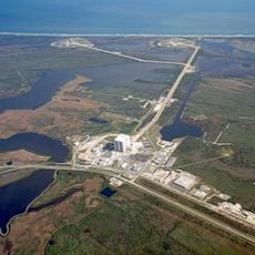
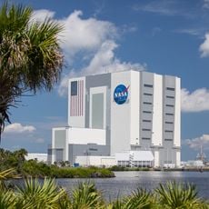
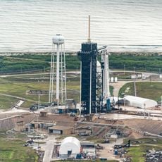
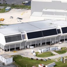
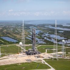
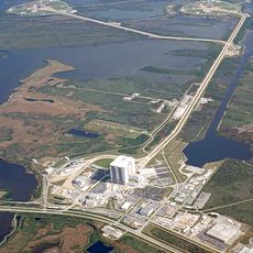
Several boat launch areas and kayak put-ins are scattered throughout the seashore for water activities. Beach access may be temporarily closed when rocket launches occur at the nearby Kennedy Space Center.
The seashore supports more than a thousand plant species and over three hundred bird species throughout its protected coastal habitats. This concentration of wildlife makes it a destination for bird watchers who travel from far away to observe these populations.
The community of curious travelers
AroundUs brings together thousands of curated places, local tips, and hidden gems, enriched daily by 92,592 contributors worldwide.