Enable Location

We need your location to show you interesting places around you

Discover nearby places

Find interesting locations and hidden gems around you

Precise directions

Get accurate directions and distances to places

Your location is never shared with other users. It's only used when you tap the location button.

Lee County

Log in to your account

Start exploring — it's free

Trusted by 61,875 travelers worldwide

Continue with Google
Continue with Apple
or

We will send you a code to connect

By continuing, you accept our Terms and Conditions and our Privacy Policy

Check your inbox

We've sent a pincode in your inbox. Please enter the code below.

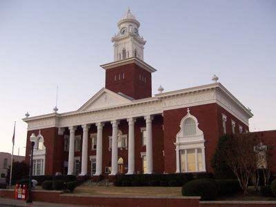
Lee County, Administrative division in Alabama, United States

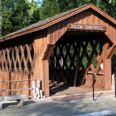
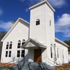
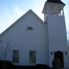
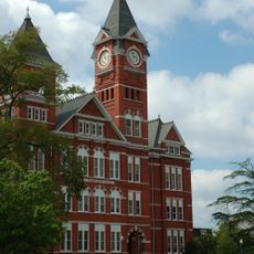
Lee County is an administrative division in eastern Alabama encompassing both urban and rural areas. The region lies along the Chattahoochee River and includes several communities with distinct local characters.

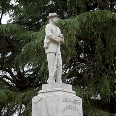
The county received its administrative status in 1866 during the post-Civil War reconstruction period. It was named after a Confederate military leader from that era.

The county maintains public libraries and community centers that form gathering places for residents. These spaces host educational programs and local events throughout the year.

County administration handles property tax assessments, vehicle registration, and building permits for residents. Plan visits during standard business hours to access these services.

An annual county fair takes place here bringing together local farmers, artisans, and performers. This autumn event showcases regional agricultural traditions and handmade crafts from the community.

The community of curious travelers

AroundUs brings together thousands of curated places, local tips, and hidden gems, enriched daily by 60,000 contributors worldwide.

Start exploring
Location
Inception
December 5, 1866
Capital city
Opelika
Shares border with
Chambers County, Harris County, Muscogee County, Russell County, Macon County, Tallapoosa County
Website
GPS coordinates
32.60139,-85.35361
Latest update
December 14, 2025 20:50
Around this place
Tuskegee Airmen National Historic Site
United States of America

Tuskegee Airmen National Historic Site

34.6 km
Chewacla State Park
United States of America

Chewacla State Park

13 km
Neville Arena
United States of America

Neville Arena

13.1 km
Jordan–Hare Stadium
United States of America

Jordan–Hare Stadium

12.7 km
United States of America

Lake Harding

25.6 km
Samford Hall
United States of America

Samford Hall

12.1 km
United States of America

Tuskegee National Forest

29.4 km
Langdon Hall
United States of America

Langdon Hall

12.1 km
Jule Collins Smith Museum of Fine Art
United States of America

Jule Collins Smith Museum of Fine Art

12.3 km
United States of America

Standing Boy Creek State Park

29.9 km
Duck Samford Stadium
United States of America

Duck Samford Stadium

8.8 km
United States of America

Goat Rock Lake

25.8 km
Salem-Shotwell Covered Bridge
United States of America

Salem-Shotwell Covered Bridge

7 km
United States of America

Donald E. Davis Arboretum

12.1 km
Drake Field
United States of America

Drake Field

12.6 km
Noble Hall
United States of America

Noble Hall

11.3 km
Spring Villa
United States of America

Spring Villa

4.2 km
Tuskegee Confederate Monument
United States of America

Tuskegee Confederate Monument

37.3 km
Shiloh Missionary Baptist Church and Rosenwald School
United States of America

Shiloh Missionary Baptist Church and Rosenwald School

33.1 km
Auburn Softball Complex
United States of America

Auburn Softball Complex

15.7 km
Pebble Hill
United States of America

Pebble Hill

11.2 km
United States of America

Indian Pines Golf Course

8.5 km
Auburn City Hall
United States of America

Auburn City Hall

13 km
Felton Little Park
United States of America

Felton Little Park

11.6 km
Cater Hall
United States of America

Cater Hall

12.3 km
Morgan-Curtis House
United States of America

Morgan-Curtis House

34.7 km
Ebenezer Missionary Baptist Church
United States of America

Ebenezer Missionary Baptist Church

11.2 km
Auburn University Historic District
United States of America

Auburn University Historic District

12.2 km
Show the full map
« Lee County - Administrative division in Alabama, United States » is provided by Around Us (aroundus.com). Images and texts are derived from Wikimedia project under a Creative Commons license. You are allowed to copy, distribute, and modify copies of this page, under the conditions set by the license, as long as this note is clearly visible.

Discover hidden gems everywhere you go!

From secret cafés to breathtaking viewpoints, skip the crowded tourist spots and find places that match your style. Our app makes it easy with voice search, smart filtering, route optimization, and insider tips from travelers worldwide. Download now for the complete mobile experience.

Around Us App Screenshot

A unique approach to discovering new places

Le Figaro

All the places worth exploring

France Info

A tailor-made excursion in just a few clicks

20 Minutes

Around Us
Travel Guide & Maps
Download

Send to your phone

QR Code
1

Open the camera app on your mobile.

2

Point at the QR code with your camera. A notification will appear.

3

Tap the notification to open the link.