Enable Location

We need your location to show you interesting places around you

Discover nearby places

Find interesting locations and hidden gems around you

Precise directions

Get accurate directions and distances to places

Your location is never shared with other users. It's only used when you tap the location button.

Russell County

Log in to your account

Start exploring — it's free

Trusted by 61,876 travelers worldwide

Continue with Google
Continue with Apple
or

We will send you a code to connect

By continuing, you accept our Terms and Conditions and our Privacy Policy

Check your inbox

We've sent a pincode in your inbox. Please enter the code below.

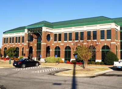
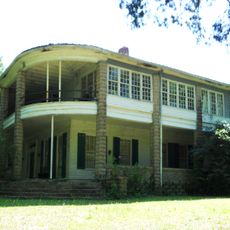
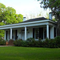
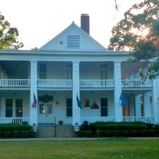
Russell County, Administrative county in Alabama, United States.

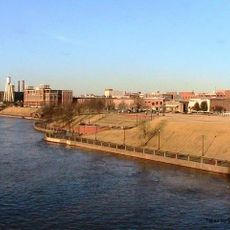
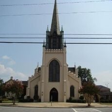
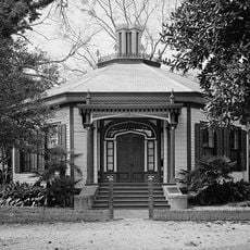
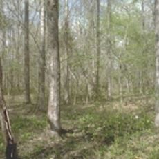
Russell County is an administrative county in southeastern Alabama featuring gently rolling terrain and several population centers. The area adjoins the Columbus metropolitan region in Georgia and serves as a transitional zone between rural and urban landscapes.

The county was established in 1832 by the Alabama state assembly and named after Colonel Gilbert C. Russell. Its creation took place on lands formerly occupied by Creek Native Americans.

The county population of 59,183 residents represents a diverse community with 45 percent White and 43 percent Black or African American inhabitants.

Three major highways cross through this county and connect it to surrounding regions. These road links provide reasonable access to nearby urban centers.

Martial law was declared over this county in 1954 due to political corruption, marking the first occurrence since the Reconstruction era. This dramatic event represents a rare moment in the region's governance history.

The community of curious travelers

AroundUs brings together thousands of curated places, local tips, and hidden gems, enriched daily by 60,000 contributors worldwide.

Start exploring
Location
Inception
December 18, 1832
Capital city
Phenix City
Elevation above the sea
98 m
Shares border with
Lee County, Barbour County, Bullock County, Muscogee County, Chattahoochee County, Stewart County, Macon County
GPS coordinates
32.28667,-85.19389
Latest update
December 20, 2025 14:42
Around this place
Providence Canyon State Park
United States of America

Providence Canyon State Park

35.6 km
Golden Park
United States of America

Golden Park

26.5 km
National Infantry Museum
United States of America

National Infantry Museum

25.1 km
United States of America

Columbus Civic Center

26.6 km
Pemberton House
United States of America

Pemberton House

26.9 km
Springer Opera House
United States of America

Springer Opera House

27.5 km
Florence Marina State Park
United States of America

Florence Marina State Park

26.1 km
Chattahoochee RiverWalk
United States of America

Chattahoochee RiverWalk

27.2 km
A. J. McClung Memorial Stadium
United States of America

A. J. McClung Memorial Stadium

26.9 km
Aflac Building
United States of America

Aflac Building

29.6 km
United States of America

Fort Moore Main Post Cemetery

24.9 km
Linwood Cemetery
United States of America

Linwood Cemetery

29.1 km
National Civil War Naval Museum at Port Columbus
United States of America

National Civil War Naval Museum at Port Columbus

26.9 km
Mott House
United States of America

Mott House

28 km
Fort Mitchell National Cemetery
United States of America

Fort Mitchell National Cemetery

17.9 km
Columbus Museum
United States of America

Columbus Museum

28.8 km
Apalachicola Fort Site
United States of America

Apalachicola Fort Site

14.2 km
Columbus Ironworks
United States of America

Columbus Ironworks

27.1 km
St. Elmo
United States of America

St. Elmo

31.1 km
Columbus Historic Riverfront Industrial District
United States of America

Columbus Historic Riverfront Industrial District

28.8 km
Church of the Holy Family
United States of America

Church of the Holy Family

28 km
Octagon House
United States of America

Octagon House

26.6 km
Mead Observatory
United States of America

Mead Observatory

26.8 km
Columbus Historic District
United States of America

Columbus Historic District

26.9 km
Yuchi Town Site
United States of America

Yuchi Town Site

19.9 km
Morgan-Curtis House
United States of America

Morgan-Curtis House

26 km
Samuel R. Pitts Plantation
United States of America

Samuel R. Pitts Plantation

12.3 km
Riverside
United States of America

Riverside

23.8 km
Show the full map
« Russell County - Administrative county in Alabama, United States » is provided by Around Us (aroundus.com). Images and texts are derived from Wikimedia project under a Creative Commons license. You are allowed to copy, distribute, and modify copies of this page, under the conditions set by the license, as long as this note is clearly visible.

Discover hidden gems everywhere you go!

From secret cafés to breathtaking viewpoints, skip the crowded tourist spots and find places that match your style. Our app makes it easy with voice search, smart filtering, route optimization, and insider tips from travelers worldwide. Download now for the complete mobile experience.

Around Us App Screenshot

A unique approach to discovering new places

Le Figaro

All the places worth exploring

France Info

A tailor-made excursion in just a few clicks

20 Minutes

Around Us
Travel Guide & Maps
Download

Send to your phone

QR Code
1

Open the camera app on your mobile.

2

Point at the QR code with your camera. A notification will appear.

3

Tap the notification to open the link.