Hiram, human settlement in Paulding County, Georgia, United States of America
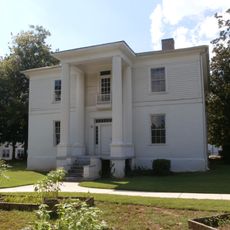
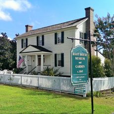
Hiram is a small city in Paulding County, Georgia that has gradually developed into a place with local shops, restaurants, and modern homes. The streets are laid out with wide sidewalks and a friendly feel, while a mix of older and newer buildings reflects the city's growth over time.
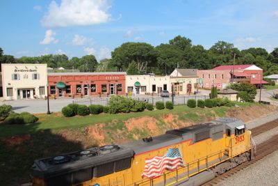
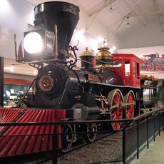
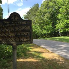
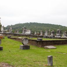
The city was founded in 1891 as a railroad stop in a rural area. Over the decades, it gradually transformed from a quiet farming community into a place with more shops and restaurants.
The name Hiram comes from an early settler whose memory remains part of the town's identity. The community moves at a relaxed pace where neighbors know each other and gather regularly at local festivals and markets throughout the year.
Hiram sits close to major highways, making it easy to reach larger cities and Atlanta in about half an hour. Parks and the Silver Comet Trail offer families outdoor activities nearby for walking or biking.
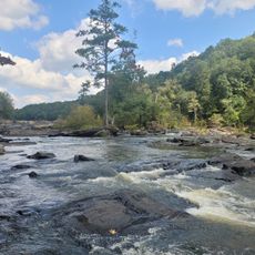
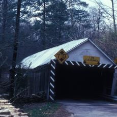
The Silver Comet Trail, a former railroad line, now serves as a popular path for walking and biking that connects the town's history with modern recreation. Many visitors overlook this spot as a hidden way to enjoy nature and explore the area's past at the same time.
The community of curious travelers
AroundUs brings together thousands of curated places, local tips, and hidden gems, enriched daily by 60,000 contributors worldwide.