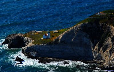
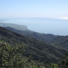
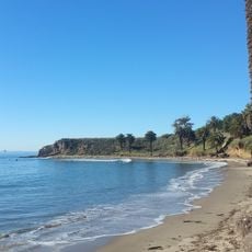
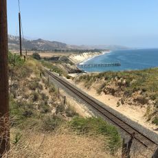
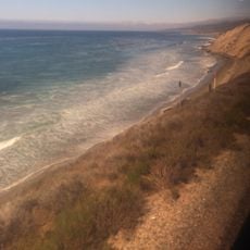
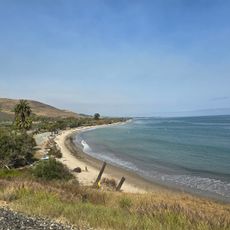
Point Conception, Coastal headland in Santa Barbara County, United States.
Point Conception is a rocky headland in Santa Barbara County that juts into the ocean and separates the Pacific Ocean from Santa Barbara Channel waters. The coastal formation creates a noticeable geographic boundary that extends from the western side of the Santa Barbara coastline.
Spanish explorer Juan Rodriguez Cabrillo first named the headland Cabo de Galera in 1542, and Sebastián Vizcaíno renamed it Punta de la Limpia Concepción in 1602. Both names reflect the importance that early European navigators assigned to this geographic landmark.
The Chumash people call this place Humqaq, meaning The Raven Comes, and view it as a sacred passage where souls transition to their afterlife. The location held deep spiritual meaning for the local indigenous community as a threshold between worlds.
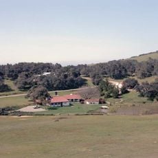
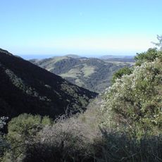
The headland is accessible from Highway 1, which runs along the California coast, with several viewpoints available for watching the ocean. Visitors should prepare for rough coastal conditions and wear sturdy footwear, as the paths are rocky and sometimes steep.
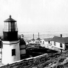
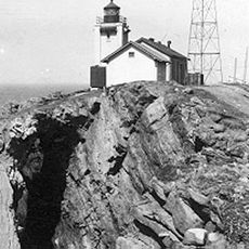
A lighthouse once stood on the headland and guided ships from 1856 until it was deactivated in 1939. The light from this facility was an important navigation reference point for sailors along this treacherous coastline.
The community of curious travelers
AroundUs brings together thousands of curated places, local tips, and hidden gems, enriched daily by 60,000 contributors worldwide.