Barbary Coast Trail, Historical urban trail in North Beach and Chinatown, San Francisco, US
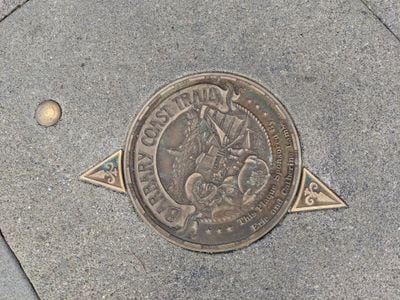
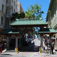
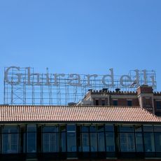
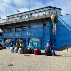
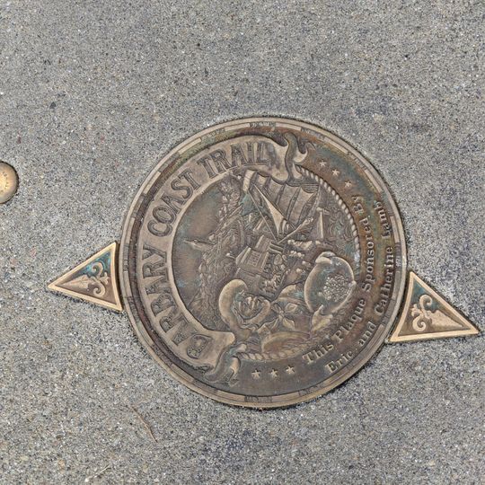
The Barbary Coast Trail is a 3.8-mile (6.1 km) walking route through San Francisco marked by about 180 bronze medallions and arrows set into the pavement. Each medallion, such as the one sponsored by Eric and Catherine Krim, shows a sailing ship, a building and a figure inside a raised rim reading "BARBARY COAST TRAIL". The route links the Old Mint, Union Square, Maiden Lane, Old St. Mary's Cathedral, the Tin How Temple, Jackson Square, Coit Tower, Fisherman's Wharf and Ghirardelli Square.
The trail follows routes established during the 1849 Gold Rush when San Francisco transformed from a small settlement into a major port city. This rapid expansion shaped the neighborhoods and buildings that the path passes through today.
The trail links sites tied to specific communities: the Tin How Temple, one of the oldest continuously operating Chinese temples in the United States, and Jackson Square, the last cluster of Gold Rush and Barbary Coast-era buildings. The Old Ship Saloon on the route was once a shanghaiing den, where crews were drugged and shipped out to sea.
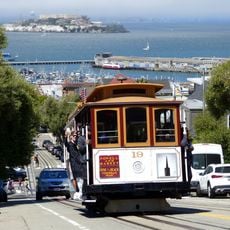
Both ends of the route connect to the Hyde-Powell cable car line, allowing visitors to walk individual sections or return to starting points using public transit. The flat terrain is easy to navigate, with bronze markers on sidewalks that are straightforward to follow.
The 180 bronze markers were designed by historian Daniel Bacon and illustrator Jim Blair, forming a permanent visual guide through city streets. This artistic marking turns the path itself into an installation that weaves history into the everyday urban landscape.
The community of curious travelers
AroundUs brings together thousands of curated places, local tips, and hidden gems, enriched daily by 92,854 contributors worldwide.