
Kenwood, unincorporated community in California, United States
Location: Sonoma County
Elevation above the sea: 129 m
GPS coordinates: 38.41389,-122.54611
Latest update: March 4, 2025 23:19

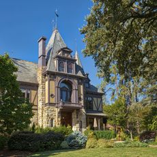
Beringer Vineyards
12.2 km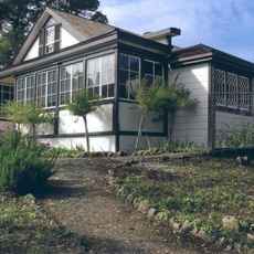
Jack London State Historic Park
7.7 km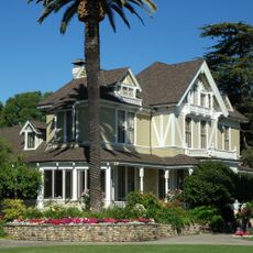
Sutter Home Winery
11.8 km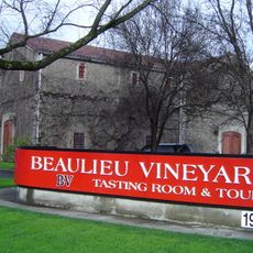
Beaulieu Vineyard
11.9 km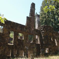
Wolf House
7.1 km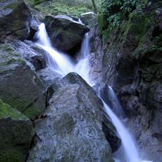
Sugarloaf Ridge State Park
5 km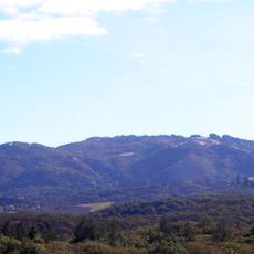
Sonoma Mountain
10.4 km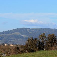
Taylor Mountain
11.3 km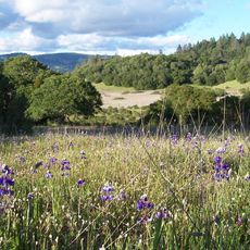
Trione-Annadel State Park
7.1 km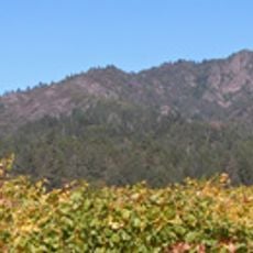
Mount Hood
5.2 km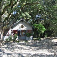
Sonoma Mountain Zen Center
5.9 km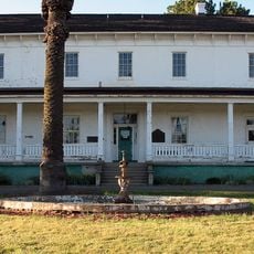
William Hood House
4.2 km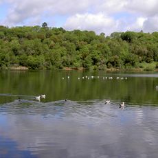
Lake Ralphine
11.5 km
Sonoma Botanical Garden
5.2 km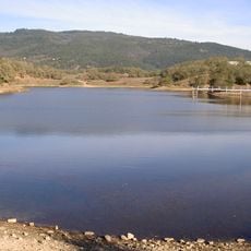
Lake Suttonfield
7.1 km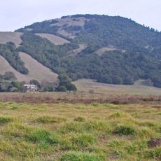
Bennett Mountain
6.8 km
Crane Creek Regional Park
11.5 km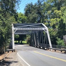
Arnold Drive Bridge
7.4 km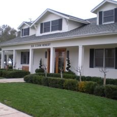
B. R. Cohn Winery
8.2 km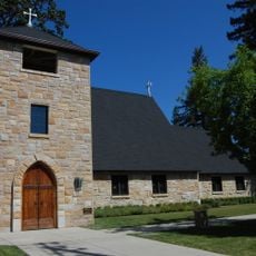
Grace Episcopal Church
12 km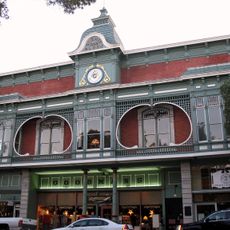
St. Helena Historic Commercial District
12.1 km
Chateau St. Jean
1.5 km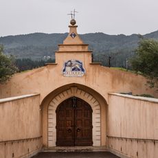
Del Dotto Estate Winery & Caves
11.6 km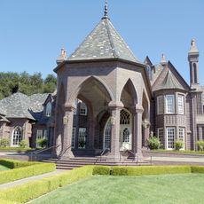
Ledson Winery and Vineyards
4.7 km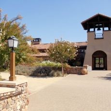
St. Francis Winery and Vineyard
3.7 km
Belden Barns
7.3 km
Richie Block
12.1 km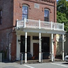
Chauvet Building
6 kmVisited this place? Tap the stars to rate it and share your experience / photos with the community! Try now! You can cancel it anytime.
Discover hidden gems everywhere you go!
From secret cafés to breathtaking viewpoints, skip the crowded tourist spots and find places that match your style. Our app makes it easy with voice search, smart filtering, route optimization, and insider tips from travelers worldwide. Download now for the complete mobile experience.

A unique approach to discovering new places❞
— Le Figaro
All the places worth exploring❞
— France Info
A tailor-made excursion in just a few clicks❞
— 20 Minutes