Chest opened
+${chestReward.xp} XP
Explorer
NOUVEAU ×${chestReward.collectible.quantity}
tapez pour fermer

See the monuments around you in AR Open chests in the app

Around Us is built for your phone — point your camera at the streets and discover the monuments and places around you in augmented reality. Around Us is built for your phone — chests unlock when you walk, explore and capture nearby places.

•

Enable Location

We need your location to show you interesting places around you

Discover nearby places

Find interesting locations and hidden gems around you

Precise directions

Get accurate directions and distances to places

Your location is never shared with other users. It's only used when you tap the location button.

Sunol Regional Wilderness

Log in to your account

Start exploring — it's free

Trusted by 89,874 travelers worldwide

Continue with Google
Continue with Apple
or

We will send you a code to connect

By continuing, you accept our Terms and Conditions and our Privacy Policy

Check your inbox

We've sent a pincode in your inbox. Please enter the code below.

Discussion Reviews 1 Photos
6.4k Popularity

Sunol Regional Wilderness, Regional park in Alameda County, California, United States.

Audio guide · About one minute
Preparing your audio guide… The audio guide could not be loaded, please retry.Sign in to listen to the audio guide

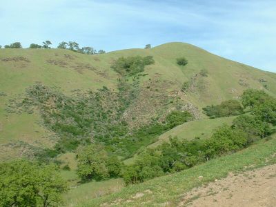
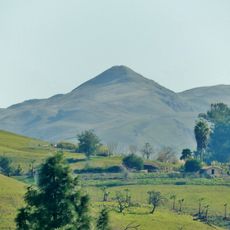
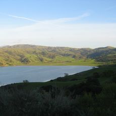
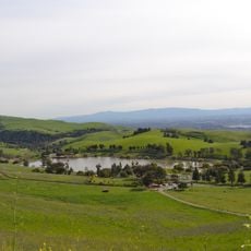
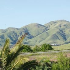
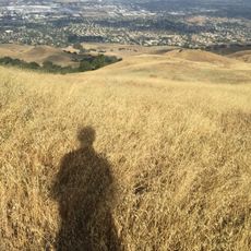
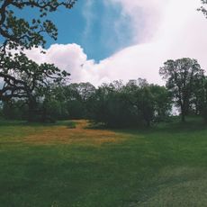
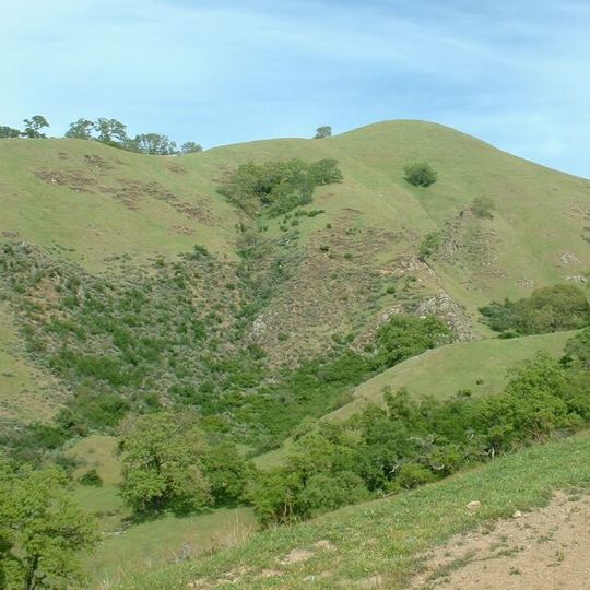
Sunol Regional Wilderness is a nature reserve in Northern California that runs along Alameda Creek, covering oak woodlands, open grasslands, and dry shrubland. A network of trails crosses the land, giving access to different habitats where a wide range of plants and animals live.

The land was protected in 1962 by the East Bay Regional Park District after serving for generations as ranch land. Before that, Native Americans used this area to process acorns on bedrock mortars, which can still be seen at several spots across the reserve.

The visitor center holds a collection of over 600 plant specimens gathered from the surrounding land, which visitors can examine up close. Regular programs run throughout the year to help guests learn more about the native plants and animals of the area.

The reserve is best reached by car, and there is a parking area at the main entrance. No supplies are available inside, so bring enough water for your time on the trails.

The reserve is home to one of the largest breeding populations of golden eagles in the region, which can often be spotted hunting California ground squirrels over the open grasslands. These birds of prey are present here in numbers that are rare across most of California.

The community of curious travelers

AroundUs brings together thousands of curated places, local tips, and hidden gems, enriched daily by 60,000 contributors worldwide.

Start exploring
Location
Inception
1962
Operator
East Bay Regional Park District
GPS coordinates
37.52644,-121.82206
Latest update
September 17, 2026 04:22
Around this place
Mission Peak
United States of America

Mission Peak

3.4 mi
Calaveras Reservoir
United States of America

Calaveras Reservoir

3.3 mi
Ed R. Levin County Park
United States of America

Ed R. Levin County Park

4.6 mi
Monument Peak
United States of America

Monument Peak

3.8 mi
Mission Peak Regional Preserve
United States of America

Mission Peak Regional Preserve

3.7 mi
Mount Allison
United States of America

Mount Allison

3.3 mi
San Antonio Reservoir
United States of America

San Antonio Reservoir

3.8 mi
Ohlone Wilderness
United States of America

Ohlone Wilderness

2.7 mi
United States of America

Statue, Work of art

5.2 mi
United States of America

Vista Grande Overlook

0.4 mi
United States of America

Bhaisajyaguru: The Medicine Buddha

5.2 mi
United States of America

Avalokiteshvara Bodhisattva - The Bodhisattva of Infinite Compassion

5.2 mi
United States of America

The Barefoot Immortal's footprint

5.2 mi
United States of America

Statue, Work of art

5.2 mi
United States of America

W-Tree

1.6 mi
United States of America

Bust, Work of art

5.2 mi
United States of America

Statue, Work of art

5.2 mi
United States of America

Indian Joe Cave Rocks

0.3 mi
United States of America

Alameda Creek Overlook (formerly Little Yosemite)

1.5 mi
United States of America

Scenic viewpoint

4.4 mi
United States of America

Portuguese Point

4.8 mi
United States of America

Scenic viewpoint

4.6 mi
United States of America

Scenic viewpoint

5.2 mi
United States of America

Vista

0.4 mi
United States of America

Scenic viewpoint

4.6 mi
United States of America

Scenic viewpoint

4.2 mi
United States of America

Cerro Este Overlook

0.9 mi
United States of America

Scenic viewpoint

1.4 mi
Show the full map
Reviews
Share your experience

No review yet

Discussions
Start a discussion...

No discussion yet

« Sunol Regional Wilderness - Regional park in Alameda County, California, United States » is provided by Around Us (aroundus.com). Images and texts are derived from Wikimedia project under a Creative Commons license. You are allowed to copy, distribute, and modify copies of this page, under the conditions set by the license, as long as this note is clearly visible.

Discover hidden gems everywhere you go!

From secret cafés to breathtaking viewpoints, skip the crowded tourist spots and find places that match your style. Our app makes it easy with voice search, smart filtering, route optimization, and insider tips from travelers worldwide. Download now for the complete mobile experience.

Around Us App Screenshot
❝

A unique approach to discovering new places❞

— Le Figaro

❝

All the places worth exploring❞

— France Info

❝

A tailor-made excursion in just a few clicks❞

— 20 Minutes

Around Us
Travel Guide & Maps
Download

Send to your phone

QR Code
1

Open the camera app on your mobile.

2

Point at the QR code with your camera. A notification will appear.

3

Tap the notification to open the link.