Enable Location

We need your location to show you interesting places around you

Discover nearby places

Find interesting locations and hidden gems around you

Precise directions

Get accurate directions and distances to places

Your location is never shared with other users. It's only used when you tap the location button.

Mission Peak

Log in to your account

Start exploring — it's free

Trusted by travelers worldwide

Continue with Google
Continue with Apple
or

We will send you a code to connect

By continuing, you accept our Terms and Conditions and our Privacy Policy

Check your inbox

We've sent a pincode in your inbox. Please enter the code below.

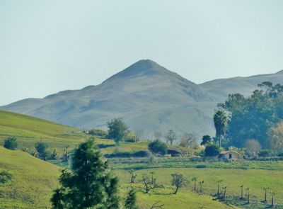
Mission Peak, Summit and mountain peak in Fremont, California, US

Description

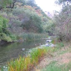
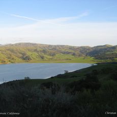
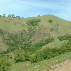
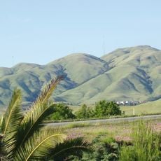
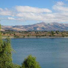
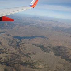
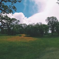
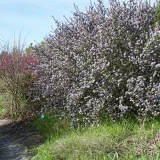
Mission Peak is a summit in the Diablo Range reaching about 2,520 feet, with expansive views across the San Francisco Bay Area and Silicon Valley from its top. Multiple trails from different starting points wind up to this ridge location, passing through open grassland and chaparral vegetation.

History

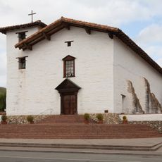
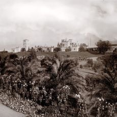
The Northern Ohlone people called this mountain Riisima before European contact, giving it spiritual importance in their world. The modern name Mission Peak emerged later as Spanish and then American settlement transformed the region.

Culture

The mountain is a defining landmark for Fremont, appearing on the city's official seal and representing local pride. Visitors gather at the Mission Peeker pole marker to photograph themselves at the summit, making it a focal point for the community.

Practical

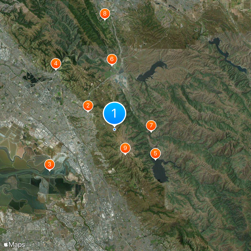
This location is accessible from multiple parking areas, including Stanford Avenue, Ohlone College, and Sunol Regional Wilderness, though some require permits. Arriving early is advisable since trailheads fill quickly on good weather days, and sturdy hiking boots are recommended for the steep terrain.

Did you know?

The peak serves as a launch point for hang gliders and paragliders who take advantage of the elevation and wind conditions. The Wings of Rogallo Northern California Association has managed this flying activity since 1983, making it one of few locations where these air sports can be practiced in the region.

Location
GPS coordinates
37.51255,-121.88091
Latest update
December 14, 2025 20:58

AroundUs brings together thousands of curated places, local tips, and hidden gems, enriched daily by 60,000 contributors worldwide. Discover all places nearby (California).

Around this place
Show the full map
« Mission Peak - Summit and mountain peak in Fremont, California, US » is provided by Around Us (aroundus.com). Images and texts are derived from Wikimedia project under a Creative Commons license. You are allowed to copy, distribute, and modify copies of this page, under the conditions set by the license, as long as this note is clearly visible.

Discover hidden gems everywhere you go!

From secret cafés to breathtaking viewpoints, skip the crowded tourist spots and find places that match your style. Our app makes it easy with voice search, smart filtering, route optimization, and insider tips from travelers worldwide. Download now for the complete mobile experience.

Around Us App Screenshot

A unique approach to discovering new places

Le Figaro

All the places worth exploring

France Info

A tailor-made excursion in just a few clicks

20 Minutes

Around Us
Travel Guide & Maps
Download

Send to your phone

QR Code
1

Open the camera app on your mobile.

2

Point at the QR code with your camera. A notification will appear.

3

Tap the notification to open the link.