Chest opened
+${chestReward.xp} XP
Explorer
NOUVEAU ×${chestReward.collectible.quantity}
tapez pour fermer
Chest locked

Open chests in the app

Around Us is built for your phone — chests unlock when you walk, explore and capture nearby places.

Enable Location

We need your location to show you interesting places around you

Discover nearby places

Find interesting locations and hidden gems around you

Precise directions

Get accurate directions and distances to places

Your location is never shared with other users. It's only used when you tap the location button.

Tri-Valley

Log in to your account

Start exploring — it's free

Trusted by 72,890 travelers worldwide

Continue with Google
Continue with Apple
or

We will send you a code to connect

By continuing, you accept our Terms and Conditions and our Privacy Policy

Check your inbox

We've sent a pincode in your inbox. Please enter the code below.

Tri-Valley
Discussion Reviews 2 Photos
34.1k Popularity

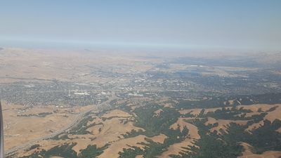
Tri-Valley, Geographic region in San Francisco Bay Area, California.

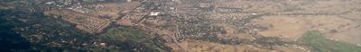
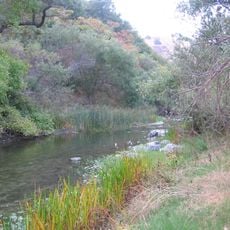
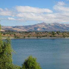
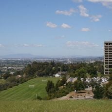
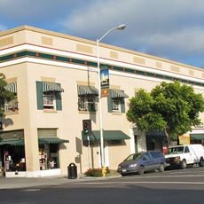
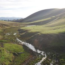
Tri-Valley is a region comprising three valleys - Amador Valley, San Ramon Valley, and Livermore Valley - that spans across Alameda and Contra Costa counties. The area contains a mix of cities, suburbs, and open spaces with varying landscapes from rolling hills to developed towns.

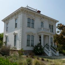
The area underwent major transformation after the Gold Rush period, as settlers converted marshlands into farmland in the mid-1800s. This agricultural foundation later shifted to industrial and technological development in the 20th century.

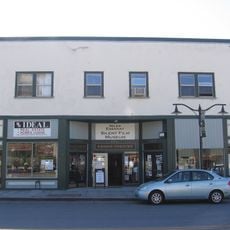
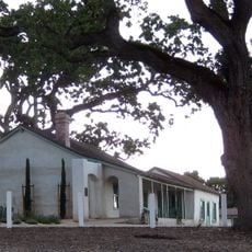
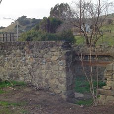
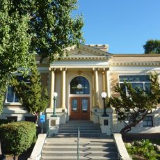
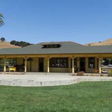
The Ohlone people lived in these valleys for thousands of years, leaving traces of their settlements across the land. Today, local museums and cultural sites tell the story of this indigenous presence.

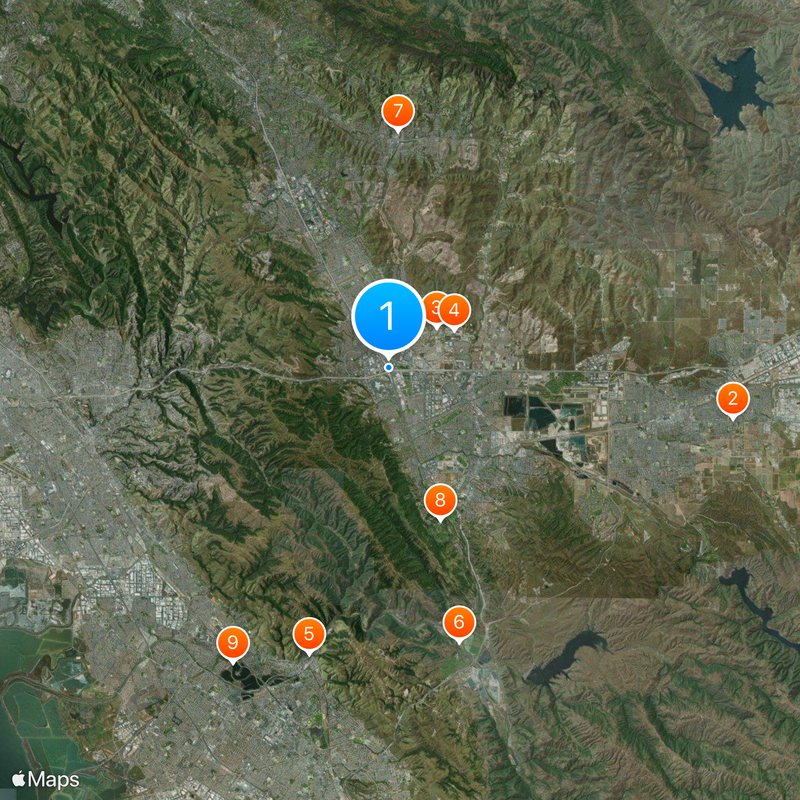
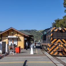
The region connects to major cities through two BART stations and is crossed by Interstate 580 and Interstate 680. Visitors can explore different areas by car or use public transportation to move between towns.

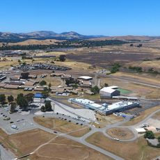
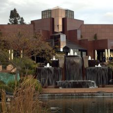
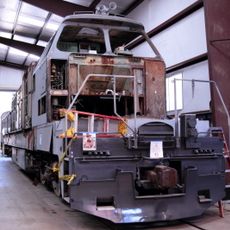
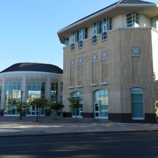
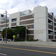
Tri-Valley has become a major hub for technology and business operations, hosting numerous corporate headquarters and business parks. This economic concentration is visible through the modern industrial and office developments scattered across the region.

The community of curious travelers

AroundUs brings together thousands of curated places, local tips, and hidden gems, enriched daily by 60,000 contributors worldwide.

Start exploring
Location
GPS coordinates
37.70121,-121.92284
Latest update
March 5, 2026 18:15
Around this place
Centennial Light
United States of America

Centennial Light

16.4 km
Federal Correctional Institution, Dublin
United States of America

Federal Correctional Institution, Dublin

3 km
United States of America

Santa Rita Jail

3.6 km
Niles Canyon
United States of America

Niles Canyon

13.9 km
Sunol Water Temple
United States of America

Sunol Water Temple

13.3 km
Blackhawk Museum
United States of America

Blackhawk Museum

11.1 km
Hacienda del Pozo de Verona
United States of America

Hacienda del Pozo de Verona

7.5 km
Quarry Lakes Regional Recreation Area
United States of America

Quarry Lakes Regional Recreation Area

15.7 km
Golden Gate Railroad Museum
United States of America

Golden Gate Railroad Museum

11.5 km
Niles Essanay Silent Film Museum
United States of America

Niles Essanay Silent Film Museum

14.7 km
City Center Building
United States of America

City Center Building

14.2 km
Forest Home Farms
United States of America

Forest Home Farms

4.5 km
Pioneer Stadium
United States of America

Pioneer Stadium

13.1 km
Warren Hall
United States of America

Warren Hall

12.9 km
Alviso Adobe Community Park
United States of America

Alviso Adobe Community Park

4.6 km
San Antonio Reservoir
United States of America

San Antonio Reservoir

15.7 km
Hayward City Hall
United States of America

Hayward City Hall

14.8 km
Vallejo Flour Mill
United States of America

Vallejo Flour Mill

14.3 km
Hayward Hall of Justice
United States of America

Hayward Hall of Justice

15.9 km
Green Shutter Hotel
United States of America

Green Shutter Hotel

14.4 km
Don Castro Regional Recreation Area
United States of America

Don Castro Regional Recreation Area

11.2 km
Pioneer Amphitheatre
United States of America

Pioneer Amphitheatre

12.7 km
Livermore Carnegie Library and Park
United States of America

Livermore Carnegie Library and Park

13.8 km
Holy Cross Orthodox Monastery
United States of America

Holy Cross Orthodox Monastery

8 km
Niles Depot Museum
United States of America

Niles Depot Museum

14.6 km
Doolan Canyon
United States of America

Doolan Canyon

8.7 km
Sunol
United States of America

Sunol

12.3 km
Museum on Main
United States of America

Museum on Main

6 km
Show the full map
Reviews
Share your experience

No review yet

Discussions
Start a discussion...

No discussion yet

« Tri-Valley - Geographic region in San Francisco Bay Area, California » is provided by Around Us (aroundus.com). Images and texts are derived from Wikimedia project under a Creative Commons license. You are allowed to copy, distribute, and modify copies of this page, under the conditions set by the license, as long as this note is clearly visible.

Discover hidden gems everywhere you go!

From secret cafés to breathtaking viewpoints, skip the crowded tourist spots and find places that match your style. Our app makes it easy with voice search, smart filtering, route optimization, and insider tips from travelers worldwide. Download now for the complete mobile experience.

Around Us App Screenshot

A unique approach to discovering new places

Le Figaro

All the places worth exploring

France Info

A tailor-made excursion in just a few clicks

20 Minutes

Around Us
Travel Guide & Maps
Download

Send to your phone

QR Code
1

Open the camera app on your mobile.

2

Point at the QR code with your camera. A notification will appear.

3

Tap the notification to open the link.