Enable Location

We need your location to show you interesting places around you

Discover nearby places

Find interesting locations and hidden gems around you

Precise directions

Get accurate directions and distances to places

Your location is never shared with other users. It's only used when you tap the location button.

Point Richmond Historic District

Log in to your account

Start exploring — it's free

Trusted by 63,342 travelers worldwide

Continue with Google
Continue with Apple
or

We will send you a code to connect

By continuing, you accept our Terms and Conditions and our Privacy Policy

Check your inbox

We've sent a pincode in your inbox. Please enter the code below.

Discussion Reviews 1 Photos
2.5k Popularity

Point Richmond Historic District, Historic district in Richmond, United States.

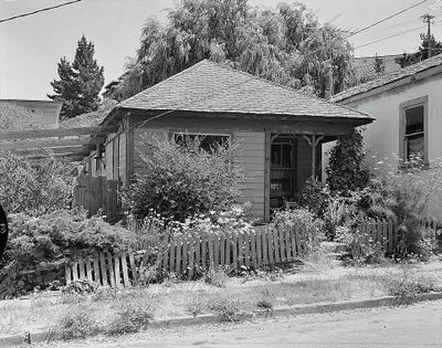
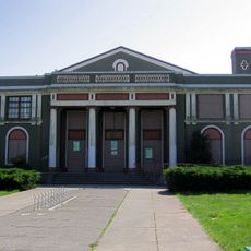
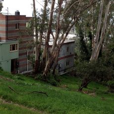
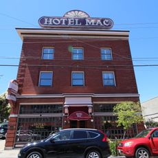
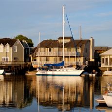
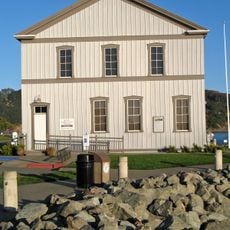
Point Richmond Historic District is a neighborhood in Richmond with Victorian and Craftsman-style buildings, most dating from the early 1900s. The preserved commercial buildings form a compact, connected block with characteristic architectural details from that era.

The district emerged in the 1890s when the San Francisco and San Joaquin Valley Railway purchased land and Pacific Coast Oil Company established operations there. These early industrial settlements laid the foundation for its development as the city's center.

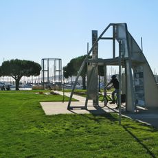
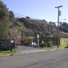
The neighborhood served as Richmond's original heart, and people still use the narrow streets today like a real community center. Residents and shopkeepers have maintained the places where the community gathered and went about daily life.

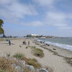
The district is accessible by car via Interstate 580 and Richmond Parkway, or by public transportation including AC Transit buses. Its compact size makes it ideal for walking, with narrow streets offering a comfortable, manageable environment.

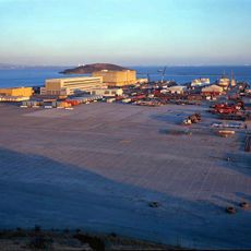
The neighborhood was long the economic center of Richmond until the city shifted northeast after World War II. The driver of this shift was a large influx of shipyard workers, which gradually displaced the original downtown role.

The community of curious travelers

AroundUs brings together thousands of curated places, local tips, and hidden gems, enriched daily by 60,000 contributors worldwide.

Start exploring
Location
GPS coordinates
37.92611,-122.38528
Latest update
December 13, 2025 11:47
Around this place
Angel Island Immigration Station
United States of America

Angel Island Immigration Station

7.2 km
Richmond–San Rafael Bridge
United States of America

Richmond–San Rafael Bridge

5.6 km
Chevron Richmond Refinery
United States of America

Chevron Richmond Refinery

2 km
SS Red Oak Victory
United States of America

SS Red Oak Victory

3 km
Point Isabel Regional Shoreline
United States of America

Point Isabel Regional Shoreline

6.1 km
Ford Motor Company Assembly Plant
United States of America

Ford Motor Company Assembly Plant

2.9 km
East Brother Island Light
United States of America

East Brother Island Light

5.9 km
United States of America

Richmond Inner Harbor

4.7 km
Rosie the Riveter World War II Home Front National Historical Park
United States of America

Rosie the Riveter World War II Home Front National Historical Park

3.1 km
Albany Hill
United States of America

Albany Hill

7.9 km
The Plunge
United States of America

The Plunge

221 m
San Pablo Lytton Casino
United States of America

San Pablo Lytton Casino

5.4 km
Sala House
United States of America

Sala House

8 km
Wapama
United States of America

Wapama

2.8 km
Sikh Center of San Francisco Bay Area El Sobrante
United States of America

Sikh Center of San Francisco Bay Area El Sobrante

7.1 km
Golden State Model Railroad Museum
United States of America

Golden State Model Railroad Museum

1.2 km
Hotel Mac
United States of America

Hotel Mac

452 m
Albany Beach
United States of America

Albany Beach

7.4 km
Southampton Shoal Light
United States of America

Southampton Shoal Light

5.1 km
Belvedere-Tiburon Library
United States of America

Belvedere-Tiburon Library

8.6 km
Brickyard Cove
United States of America

Brickyard Cove

2.1 km
Tiburon Railroad & Ferry Depot Museum
United States of America

Tiburon Railroad & Ferry Depot Museum

8.3 km
Point lone
United States of America

Point lone

8.2 km
Richmond Shipyard Number Three
United States of America

Richmond Shipyard Number Three

2.5 km
Angel Island State Park
United States of America

Angel Island State Park

8 km
Scenic viewpoint
United States of America

Scenic viewpoint

8.5 km
Scenic viewpoint
United States of America

Scenic viewpoint

8.4 km
Scenic viewpoint
United States of America

Scenic viewpoint

8.5 km
Show the full map
Reviews
Share your experience

No review yet

Discussions
Start a discussion...

No discussion yet

« Point Richmond Historic District - Historic district in Richmond, United States » is provided by Around Us (aroundus.com). Images and texts are derived from Wikimedia project under a Creative Commons license. You are allowed to copy, distribute, and modify copies of this page, under the conditions set by the license, as long as this note is clearly visible.

Discover hidden gems everywhere you go!

From secret cafés to breathtaking viewpoints, skip the crowded tourist spots and find places that match your style. Our app makes it easy with voice search, smart filtering, route optimization, and insider tips from travelers worldwide. Download now for the complete mobile experience.

Around Us App Screenshot

A unique approach to discovering new places

Le Figaro

All the places worth exploring

France Info

A tailor-made excursion in just a few clicks

20 Minutes

Around Us
Travel Guide & Maps
Download

Send to your phone

QR Code
1

Open the camera app on your mobile.

2

Point at the QR code with your camera. A notification will appear.

3

Tap the notification to open the link.