Enable Location

We need your location to show you interesting places around you

Discover nearby places

Find interesting locations and hidden gems around you

Precise directions

Get accurate directions and distances to places

Your location is never shared with other users. It's only used when you tap the location button.

Brentwood

Log in to your account

Start exploring — it's free

Trusted by travelers worldwide

Continue with Google
Continue with Apple
or

We will send you a code to connect

By continuing, you accept our Terms and Conditions and our Privacy Policy

Check your inbox

We've sent a pincode in your inbox. Please enter the code below.

Brentwood, Suburban city in Contra Costa County, California, US

Description

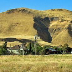
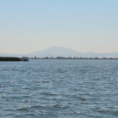
Brentwood is a suburban city in Contra Costa County, California, spreading across gentle hills and agricultural plains between housing developments and fruit farms. The built landscape alternates with open fields and vineyards, while the horizon near the San Francisco Bay remains flat and open.

History

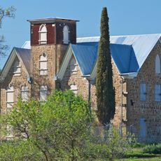
The territory was part of Rancho Los Meganos, granted to Don Jose Noriega in 1835, before John Marsh acquired the land in 1837 and named it after his hometown in Essex, England. The town was founded decades later, when railroad lines and irrigation systems enabled agricultural development.

Culture

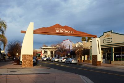
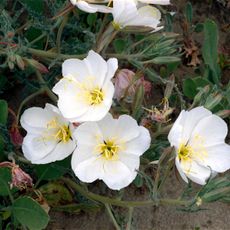
The town center grew along routes that once linked ranches, and today some streets still follow those original paths through farmland and housing areas. Families visit remaining orchards during harvest season to buy cherries and other fruit directly from growers, creating a connection to the rural past.

Practical

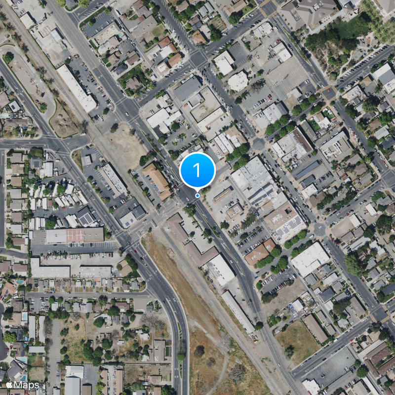
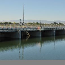
Visitors can easily navigate residential neighborhoods and farm areas spread along main roads, which offer a straightforward layout. Public transit connects the town with neighboring communities, making trips to the wider region manageable.

Did you know?

The Julpuns, part of Bay Miwok tribes, settled along creek areas and held a close connection to Mount Diablo, which played a central role in their cosmology. Traces of their earlier presence remain faint in the landscape, though some street names and parks reference these roots.

Shares border with
Oakley, Antioch
GPS coordinates
37.93194,-121.69583
Latest update
December 13, 2025 05:23

AroundUs brings together thousands of curated places, local tips, and hidden gems, enriched daily by 60,000 contributors worldwide. Discover all places nearby (Contra Costa County).

Around this place
Black Diamond Mines Regional Preserve
United States of America

Black Diamond Mines Regional Preserve

14.3 km
Antioch Bridge
United States of America

Antioch Bridge

11.4 km
Franks Tract State Recreation Area
United States of America

Franks Tract State Recreation Area

14 km
Antioch Dunes National Wildlife Refuge
United States of America

Antioch Dunes National Wildlife Refuge

12.6 km
Stone House of John Marsh
United States of America

Stone House of John Marsh

5.1 km
Contra Costa Canal
United States of America

Contra Costa Canal

6.6 km
Marsh Creek State Park
United States of America

Marsh Creek State Park

6.1 km
Contra Loma Regional Park
United States of America

Contra Loma Regional Park

13.8 km
United States of America

Morgan Territory Regional Preserve

15.4 km
Shannon-Williamson Ranch
United States of America

Shannon-Williamson Ranch

6.7 km
Roswell Butler Hard House
United States of America

Roswell Butler Hard House

14.2 km
Riverview Union High School Building
United States of America

Riverview Union High School Building

14.8 km
Antioch WaterPark
United States of America

Antioch WaterPark

7.7 km
United States of America

Mira Vista Park

13.2 km
United States of America

Memorial Park

12.2 km
United States of America

Marsh Creek Reservoir

5.6 km
United States of America

Shadow Lakes Golf Club

4.5 km
United States of America

The Golf Club at Brentwood

2.9 km
United States of America

Deer Ridge Golf Club

4.6 km
United States of America

Bethel Island Golf Course

11.7 km
United States of America

Babe Ruth Baseball Field

14.9 km
United States of America

Lone Tree Golf Course

11 km
United States of America

Roger Epperson Ridge Overlook

15.1 km
United States of America

The Lost Lens Cap Overlook

14.6 km
United States of America

Mount Dad

15.9 km
United States of America

Charger's Overlook

15.8 km
United States of America

Shiba Spot

13.7 km
United States of America

Cowlick Look

14.1 km
Show the full map
« Brentwood - Suburban city in Contra Costa County, California, US » is provided by Around Us (aroundus.com). Images and texts are derived from Wikimedia project under a Creative Commons license. You are allowed to copy, distribute, and modify copies of this page, under the conditions set by the license, as long as this note is clearly visible.

Discover hidden gems everywhere you go!

From secret cafés to breathtaking viewpoints, skip the crowded tourist spots and find places that match your style. Our app makes it easy with voice search, smart filtering, route optimization, and insider tips from travelers worldwide. Download now for the complete mobile experience.

Around Us App Screenshot

A unique approach to discovering new places

Le Figaro

All the places worth exploring

France Info

A tailor-made excursion in just a few clicks

20 Minutes

Around Us
Travel Guide & Maps
Download

Send to your phone

QR Code
1

Open the camera app on your mobile.

2

Point at the QR code with your camera. A notification will appear.

3

Tap the notification to open the link.