Enable Location

We need your location to show you interesting places around you

Discover nearby places

Find interesting locations and hidden gems around you

Precise directions

Get accurate directions and distances to places

Your location is never shared with other users. It's only used when you tap the location button.

KXTV/KOVR tower

Log in to your account

Start exploring — it's free

Trusted by 61,994 travelers worldwide

Continue with Google
Continue with Apple
or

We will send you a code to connect

By continuing, you accept our Terms and Conditions and our Privacy Policy

Check your inbox

We've sent a pincode in your inbox. Please enter the code below.

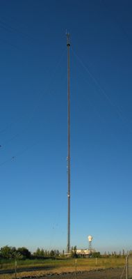
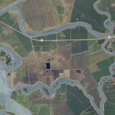
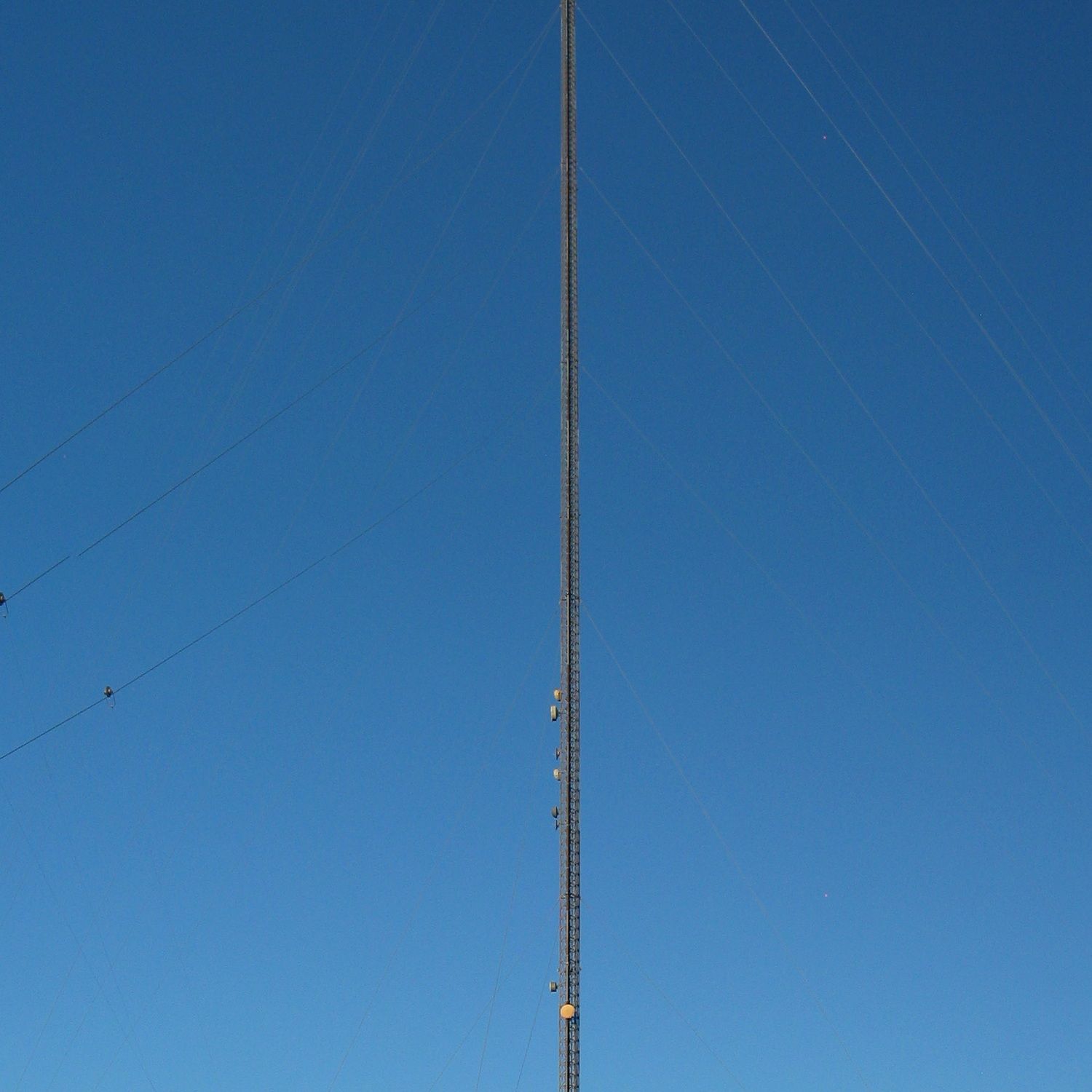
KXTV/KOVR tower, Communication tower in Walnut Grove, California, US.

The KXTV/KOVR tower is a television broadcast transmitter in Walnut Grove, California, standing at 2,049 feet and serving as the tallest structure in the state. This guyed mast is among the world's highest towers of its kind and was built specifically for television signal transmission.

Built in 1962, the tower marked the expansion of television broadcasts across Northern California during a period of growing media infrastructure. This development allowed communities throughout the region to receive local and regional content for the first time.

Television stations KXTV and KOVR broadcast through this tower to reach millions of viewers across Sacramento, Stockton, and Modesto. The structure plays a key role in connecting local communities with news and programming tailored to the region.

The tower is visible from various vantage points and covers a large area extending from Sacramento to Modesto with its broadcast signal. Those interested in broadcast engineering can observe the structure from several viewing areas throughout the Central Valley region.

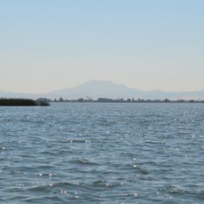
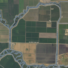
The structure inspired the film 'Fall,' which depicts the extreme height and technical challenges of climbing such a tall structure. The tower serves as a distinctive navigation landmark across the flat agricultural landscape of the Central Valley.

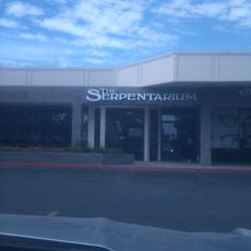
The community of curious travelers

AroundUs brings together thousands of curated places, local tips, and hidden gems, enriched daily by 60,000 contributors worldwide.

Start exploring
Location
Inception
2000
GPS coordinates
38.23979,-121.50159
Latest update
December 17, 2025 09:19
Around this place
Locke
United States of America

Locke

1.4 km
Antioch Bridge
United States of America

Antioch Bridge

32.4 km
Sacramento Zoo
United States of America

Sacramento Zoo

33.3 km
Western Railway Museum
United States of America

Western Railway Museum

32.9 km
Cosumnes River Preserve
United States of America

Cosumnes River Preserve

6.2 km
Rio Vista Bridge
United States of America

Rio Vista Bridge

18.3 km
Stagg Memorial Stadium
United States of America

Stagg Memorial Stadium

33.3 km
Franks Tract State Recreation Area
United States of America

Franks Tract State Recreation Area

24.4 km
Micke Grove Zoo
United States of America

Micke Grove Zoo

26.9 km
Stone Lakes National Wildlife Refuge
United States of America

Stone Lakes National Wildlife Refuge

14 km
Delta Meadows Park Property
United States of America

Delta Meadows Park Property

2.1 km
Isleton Bridge
United States of America

Isleton Bridge

11.1 km
Micke Grove Regional Park
United States of America

Micke Grove Regional Park

26.9 km
Walnut Grove Japanese-American Historic District
United States of America

Walnut Grove Japanese-American Historic District

993 m
Isleton Chinese and Japanese Commercial Districts
United States of America

Isleton Chinese and Japanese Commercial Districts

12.5 km
Twitchell Island
United States of America

Twitchell Island

19.4 km
Brewster House
United States of America

Brewster House

17.3 km
Bouldin Island
United States of America

Bouldin Island

15.4 km
King Island
United States of America

King Island

20.2 km
Rosebud Ranch
United States of America

Rosebud Ranch

16.3 km
Alta Mesa Farm Bureau Hall
United States of America

Alta Mesa Farm Bureau Hall

29.4 km
Woodbridge Masonic Lodge No. 131
United States of America

Woodbridge Masonic Lodge No. 131

20 km
Harmony Grove Church
United States of America

Harmony Grove Church

30.3 km
I.O.O.F. Hall
United States of America

I.O.O.F. Hall

20 km
Locke's Meat Market
United States of America

Locke's Meat Market

32 km
The Serpentarium
United States of America

The Serpentarium

32 km
Walnut Grove Bridge
United States of America

Walnut Grove Bridge

1.2 km
Three Mile Slough Bridge
United States of America

Three Mile Slough Bridge

22.9 km
Show the full map
« KXTV/KOVR tower - Communication tower in Walnut Grove, California, US » is provided by Around Us (aroundus.com). Images and texts are derived from Wikimedia project under a Creative Commons license. You are allowed to copy, distribute, and modify copies of this page, under the conditions set by the license, as long as this note is clearly visible.

Discover hidden gems everywhere you go!

From secret cafés to breathtaking viewpoints, skip the crowded tourist spots and find places that match your style. Our app makes it easy with voice search, smart filtering, route optimization, and insider tips from travelers worldwide. Download now for the complete mobile experience.

Around Us App Screenshot

A unique approach to discovering new places

Le Figaro

All the places worth exploring

France Info

A tailor-made excursion in just a few clicks

20 Minutes

Around Us
Travel Guide & Maps
Download

Send to your phone

QR Code
1

Open the camera app on your mobile.

2

Point at the QR code with your camera. A notification will appear.

3

Tap the notification to open the link.