California State Route 120, highway in California
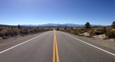
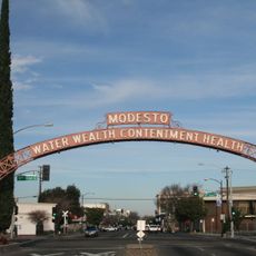
California State Route 120 is a major road across central California that runs from San Joaquin County through Stanislaus, Tuolumne, and Mono counties, connecting the valley with the Sierra Nevada and Yosemite National Park. The route passes through farmland and small towns in the western section before climbing into foothills where forests, granite cliffs, and open mountain scenery dominate the landscape.
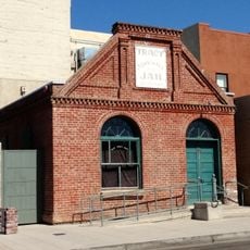
This route began as a trail for prospectors during the Gold Rush seeking riches in the Sierra, later becoming a wagon road before being paved for motor vehicles. The evolution reflects California's transformation from frontier territory to a developed state.
Travel during summer months when the entire road is open, especially if crossing Tioga Pass, since winter snow often closes sections of the route. Check current road conditions before departing, particularly in winter, as weather can block passage through mountain areas.
Tioga Pass stands as the highest paved point in California's highway system, offering summer views of mountains and lakes that few other roads reach. At Mono Lake, the unusual limestone towers called tufas rise from the water, creating a landscape that appears almost otherworldly.
The community of curious travelers
AroundUs brings together thousands of curated places, local tips, and hidden gems, enriched daily by 60,000 contributors worldwide.