Chest opened
+${chestReward.xp} XP
Explorer
NOUVEAU ×${chestReward.collectible.quantity}
tapez pour fermer

See the monuments around you in AR Open chests in the app

Around Us is built for your phone — point your camera at the streets and discover the monuments and places around you in augmented reality. Around Us is built for your phone — chests unlock when you walk, explore and capture nearby places.

•

Enable Location

We need your location to show you interesting places around you

Discover nearby places

Find interesting locations and hidden gems around you

Precise directions

Get accurate directions and distances to places

Your location is never shared with other users. It's only used when you tap the location button.

Rancho Seco Recreational Park

Log in to your account

Start exploring — it's free

Trusted by 94,511 travelers worldwide

Continue with Google
Continue with Apple
or

We will send you a code to connect

By continuing, you accept our Terms and Conditions and our Privacy Policy

Check your inbox

We've sent a pincode in your inbox. Please enter the code below.

Rancho Seco Recreational Park

Rancho Seco Recreational Park, Lake in California, United States

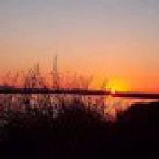
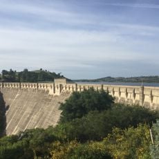
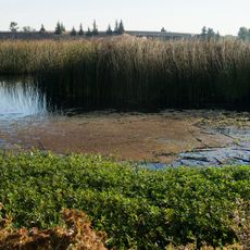
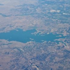
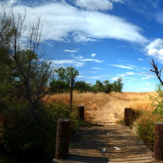
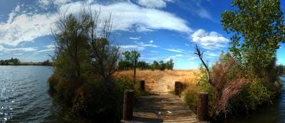
Rancho Seco Recreational Park is a lake area in California, United States, centered on a reservoir formed by a dam on the Mokelumne River. The park covers land around the water, with a mix of open shoreline, grassy areas, and scattered trees, and it sits next to a decommissioned nuclear power plant.

The reservoir was created in the 1960s to cool the Rancho Seco nuclear power plant, which operated until 1989. After the plant closed, the land and water were turned into a public recreation area.

The name Rancho Seco comes from the Spanish for "dry ranch," a reminder of the area's past as grazing land. Today, the park is a local gathering spot where families from nearby towns come to fish, picnic, and spend the day by the water.

The park is open year-round, but summer can be very hot, so bring sun protection and plenty of water. The main access is from Highway 104, and the layout makes it easy to reach the water and the main facilities by car.

The lake is one of the few in the region where you can see the outline of a nuclear plant's cooling towers on the horizon. The park also has a small visitor center with displays about the site's energy past.

The community of curious travelers

AroundUs brings together thousands of curated places, local tips, and hidden gems, enriched daily by 94,511 contributors worldwide.
Start exploring
Location
GPS coordinates
38.33800,-121.09500
Latest update
November 10, 2026 13:50
Around this place
Preston School of Industry
United States of America

Preston School of Industry

8.8 mi
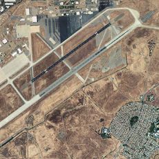
Mather Air Force Base
United States of America

Mather Air Force Base

18.5 mi
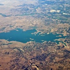
Camanche Reservoir
United States of America

Camanche Reservoir

10 mi
New Hogan Lake
United States of America

New Hogan Lake

20.4 mi
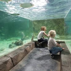
SeaQuest Folsom
United States of America

SeaQuest Folsom

21.7 mi
Cosumnes River Preserve
United States of America

Cosumnes River Preserve

19.3 mi
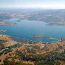
Pardee Dam
United States of America

Pardee Dam

14.4 mi
Micke Grove Zoo
United States of America

Micke Grove Zoo

20.4 mi
Stone Lakes National Wildlife Refuge
United States of America

Stone Lakes National Wildlife Refuge

21.7 mi
Camanche Dam
United States of America

Camanche Dam

8.8 mi
Knight Foundry
United States of America

Knight Foundry

17.3 mi
United States of America

Carpenter Hill

21.5 mi
Micke Grove Regional Park
United States of America

Micke Grove Regional Park

20.3 mi
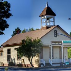
Brighton School
United States of America

Brighton School

20.3 mi
American River Grange Hall No. 172
United States of America

American River Grange Hall No. 172

20.6 mi
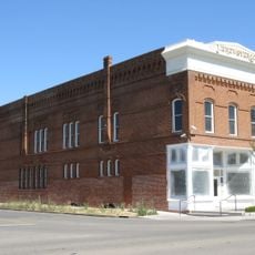
Brewster Building
United States of America

Brewster Building

15.6 mi
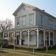
Brewster House
United States of America

Brewster House

12.8 mi
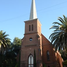
Community Methodist Church of Ione
United States of America

Community Methodist Church of Ione

8.8 mi
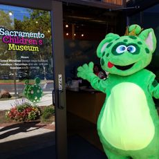
Sacramento Children's Museum
United States of America

Sacramento Children's Museum

20.1 mi
Alta Mesa Farm Bureau Hall
United States of America

Alta Mesa Farm Bureau Hall

7.7 mi
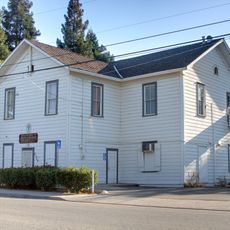
Woodbridge Masonic Lodge No. 131
United States of America

Woodbridge Masonic Lodge No. 131

16.9 mi
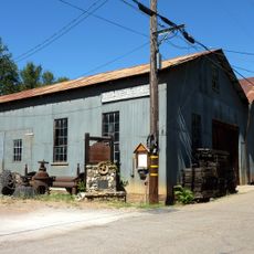
D. Stewart Company Store
United States of America

D. Stewart Company Store

8.8 mi
Harmony Grove Church
United States of America

Harmony Grove Church

13.9 mi
Scully Ranch
United States of America

Scully Ranch

7.4 mi
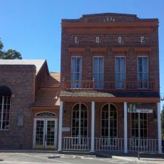
I.O.O.F. Hall
United States of America

I.O.O.F. Hall

16.9 mi
William J. Paugh House
United States of America

William J. Paugh House

17.6 mi
Locke's Meat Market
United States of America

Locke's Meat Market

12.4 mi
Jackson Downtown Historic District
United States of America

Jackson Downtown Historic District

17.5 mi
Show the full map
Reviews
Share your experience

No review yet

Discussions
Start a discussion...

No discussion yet

« Rancho Seco Recreational Park - Lake in California, United States » is provided by Around Us (aroundus.com). Images and texts are derived from Wikimedia project under a Creative Commons license. You are allowed to copy, distribute, and modify copies of this page, under the conditions set by the license, as long as this note is clearly visible.

Discover hidden gems everywhere you go!

From secret cafés to breathtaking viewpoints, skip the crowded tourist spots and find places that match your style. Our app makes it easy with voice search, smart filtering, route optimization, and insider tips from travelers worldwide. Download now for the complete mobile experience.
Around Us App Screenshot
❝

A unique approach to discovering new places❞

— Le Figaro

❝

All the places worth exploring❞

— France Info

❝

A tailor-made excursion in just a few clicks❞

— 20 Minutes

Around Us
Travel Guide & Maps
Download

Send to your phone

QR Code
1

Open the camera app on your mobile.

2

Point at the QR code with your camera. A notification will appear.

3

Tap the notification to open the link.