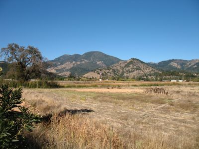
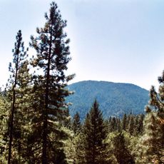
Mount Saint Helena, Mountain peak in Mayacamas Mountains, California.
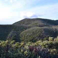
Mount Saint Helena is a distinctive peak in the Mayacamas Mountains spanning three counties with an elevation of about 4,342 feet (1,323 m). The summit consists of five individual peaks that together form a distinctive M-shaped profile.
A Russian expedition team placed a copper plate on the summit in 1841 inscribed with Princess Helena de Gagarin's name. This marker established the mountain's current name that has endured for generations.
The mountain held deep meaning for the Wappo people, who called it Kanamota meaning Human Mountain. Spanish and later Russian settlers changed its name, but the indigenous connection to this place remains part of the land's story.
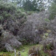
The main trailhead starts at Robert Louis Stevenson State Park and covers about 6 miles to reach the summit. The route passes through volcanic rock formations and opens up to panoramic views of the northern valley.
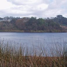
The southeast slope contains the headwaters of the Napa River, which feeds the farmland stretching across the valley below. This water source has shaped the agricultural character of the entire region for centuries.
The community of curious travelers
AroundUs brings together thousands of curated places, local tips, and hidden gems, enriched daily by 60,000 contributors worldwide.