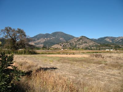
Mayacamas Mountains, Mountain range in northwestern California, United States.
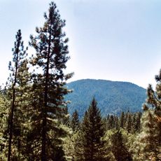
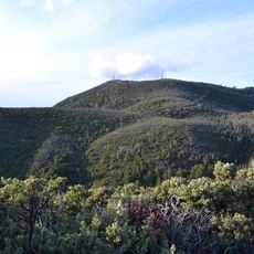
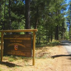
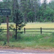
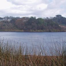
The Mayacamas Mountains span roughly 52 miles between Mendocino and Lake Counties, with their highest peak at Cobb Mountain reaching about 4,724 feet. The range contains multiple state parks with trails for hiking and mountain biking accessible from Napa and Sonoma Counties.
The name comes from the Wappo language and appeared in 1836 land grant documents as Serro de los Mallacomes. This early record shows how the region was already named and documented before gaining wider recognition.
The Pomo and Coast Miwok peoples made their homes throughout these mountains long before Europeans arrived in the area. Their presence shaped the region's character and remains central to understanding the land today.
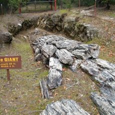
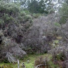
Spring and fall offer the best conditions for exploring, with mild weather and well-maintained trails. Visitors should bring sturdy footwear and plenty of water, as paths can be steep and exposed to sun.
Within the range lies The Geysers, one of the world's largest geothermal fields with more than 20 power plants generating electricity from underground heat. This industrial use of geothermal energy makes the region a remarkable place where nature and technology converge.
The community of curious travelers
AroundUs brings together thousands of curated places, local tips, and hidden gems, enriched daily by 60,000 contributors worldwide.