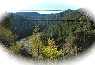
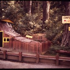
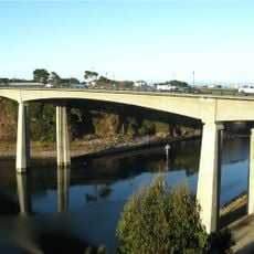
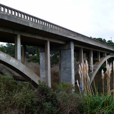
Confusion Hill Bridges, Road bridge in Mendocino County, California, United States.
Confusion Hill Bridges are two parallel structures that cross the South Fork Eel River, soaring 78 meters (255 feet) above the water. The southern bridge spans roughly 380 meters while the northern bridge is considerably shorter.
The bridges were built between 2006 and 2009 to reroute U.S. Route 101 away from an area frequently threatened by dangerous landslides. This project created a safer path through this mountainous terrain.
The north span carries the name of Elizabeth Jane Rosewarne, a local pioneer, while the south span honors Mignon Stoddard Lilley, reflecting the region's settlement history through the bridges themselves.
Both bridges carry two lanes of U.S. Route 101 across the river valley in continuous traffic. You drive across the structure as part of your route through the region, with viewing stops available nearby.
The southern bridge uses variable depth engineering to optimize materials and reduce weight across the span. This technical approach means the structure transitions gradually from one measurement at its center to different dimensions at its ends.
The community of curious travelers
AroundUs brings together thousands of curated places, local tips, and hidden gems, enriched daily by 60,000 contributors worldwide.