Signal Peak, Mountain summit in Humboldt County, California, United States
Signal Peak is a mountain summit in the Coast Range standing at 1,790 meters high. The location commands views across the varied ridges and forest country of northern California.
The peak received its name from a heliograph station built around 1900 for communication purposes. Historical maps from 1898 referred to the location by a different name, Lassecks Peak.
The peak carries the name of a Native American leader, Lassic, whose legacy appears in the names of nearby summits on the landscape. Local geography reflects this historical connection through multiple place names that honor his story.
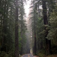
The Jeep Trail provides the main way to reach the peak through backcountry managed by the Forest Service. Visitors should prepare for rough terrain and variable weather conditions at elevation.
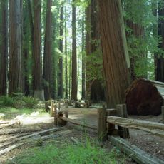
The surrounding wilderness area of about 2,950 hectares received federal protection in 2006 through a Congressional designation. This designation ensures the region will remain protected under the National Wilderness Preservation System indefinitely.
Location: Humboldt County
GPS coordinates: 40.33395,-123.55450
Latest update: December 14, 2025 20:01
Chandelier Tree
54.7 km
Avenue of the Giants
42 km
Humboldt Redwoods State Park
35.5 km
Confusion Hill
49.6 km
King Range
52.7 km
Patrick's Point State Park
56.1 km
Headwaters Forest Reserve
57.1 km
Richardson Grove State Park
41 km
Saint Herman of Alaska Brotherhood
55.6 km
Grizzly Creek Redwoods State Park
34.2 km
Sinkyone Wilderness State Park
56.6 km
Yolla Bolly-Middle Eel Wilderness
58.2 km
Fernbridge
63.1 km
Confusion Hill Bridges
49.2 km
South Fork Eel River Wilderness
49.6 km
Benbow Lake State Recreation Area
36.5 km
Gingerbread Mansion
65.7 km
King Range Wilderness
52.7 km
Benbow Inn
35.8 km
Humboldt meridian
48.9 km
North Yolla Bolly Mountain
51.7 km
Lower Blackburn Grade Bridge
32.7 km
Scotia Bluffs
50.1 km
Rectory, Catholic Church of the Assumption
65.6 km
Winema Theater
49.4 km
Grizzly Bluff School
58.1 km
One-Log House
41.3 km
Standish-Hickey State Recreation Area
53 kmVisited this place? Tap the stars to rate it and share your experience / photos with the community! Try now! You can cancel it anytime.
Discover hidden gems everywhere you go!
From secret cafés to breathtaking viewpoints, skip the crowded tourist spots and find places that match your style. Our app makes it easy with voice search, smart filtering, route optimization, and insider tips from travelers worldwide. Download now for the complete mobile experience.
A unique approach to discovering new places❞
— Le Figaro
All the places worth exploring❞
— France Info
A tailor-made excursion in just a few clicks❞
— 20 Minutes