Chest opened
+${chestReward.xp} XP
Explorer
NOUVEAU ×${chestReward.collectible.quantity}
tapez pour fermer
Chest locked

Open chests in the app

Around Us is built for your phone — chests unlock when you walk, explore and capture nearby places.

Enable Location

We need your location to show you interesting places around you

Discover nearby places

Find interesting locations and hidden gems around you

Precise directions

Get accurate directions and distances to places

Your location is never shared with other users. It's only used when you tap the location button.

Log in to your account

Start exploring — it's free

Trusted by 72,916 travelers worldwide

Continue with Google
Continue with Apple
or

We will send you a code to connect

By continuing, you accept our Terms and Conditions and our Privacy Policy

Check your inbox

We've sent a pincode in your inbox. Please enter the code below.

Gold Canyon
Discussion Reviews Photo
2k Popularity

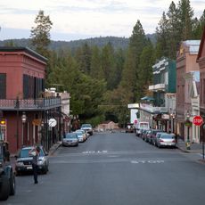
Gold Canyon, Canyon in Sierra County, California, US.

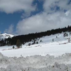
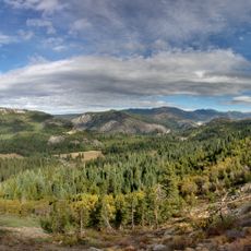
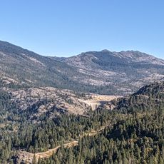
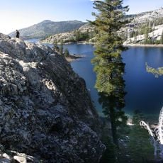
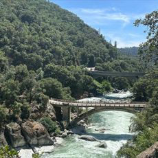
Gold Canyon is a gorge along the middle fork of the Yuba River in Sierra County, with sheer rock walls and visible traces of past mining activity throughout the landscape. The rock formations contain mineral-rich layers that developed over geological time.

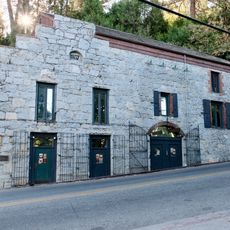
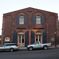
The canyon became a center of intense mining operations from the 1850s onward, when several mines including German Bar Mine and Gold Canon Mine were established. This mining phase shaped the area for decades and permanently altered the local landscape.

In 1859, Gold Canyon marked a transformative moment in California mining law by implementing the first restriction on Chinese miners' claims.

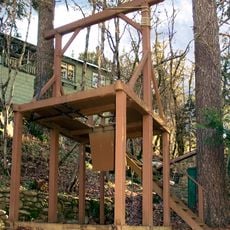
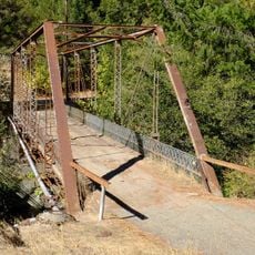
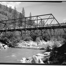
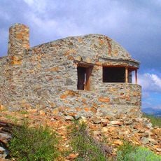
Visitors should watch for uneven terrain and old mining structures, including two wooden cabins from 1926 that still stand near the former power plant site. The area is best explored on foot, particularly along the river where most historical remains are visible.

Along the river's south bank are still visible large boulder piles arranged in arc patterns from the extensive dredging operations of the past. These accumulations show how the mining technology of the time reshaped the natural landscape.

The community of curious travelers

AroundUs brings together thousands of curated places, local tips, and hidden gems, enriched daily by 60,000 contributors worldwide.

Start exploring
Location
GPS coordinates
39.43470,-120.82500
Latest update
December 9, 2025 12:23
Around this place
Empire Mine State Historic Park
United States of America

Empire Mine State Historic Park

31.8 km
Tahoe National Forest
United States of America

Tahoe National Forest

13.1 km
New Bullards Bar Reservoir
United States of America

New Bullards Bar Reservoir

27.5 km
Emigrant Gap
United States of America

Emigrant Gap

20.1 km
New Bullards Bar Dam
United States of America

New Bullards Bar Dam

27.7 km
Scotts Flat Reservoir
United States of America

Scotts Flat Reservoir

20.2 km
Home of Lola Montez
United States of America

Home of Lola Montez

31.8 km
National Exchange Hotel
United States of America

National Exchange Hotel

25.3 km
Nevada City Downtown Historic District
United States of America

Nevada City Downtown Historic District

25.3 km
Lake Spaulding Dam
United States of America

Lake Spaulding Dam

19.7 km
Mount Saint Mary's Convent and Academy
United States of America

Mount Saint Mary's Convent and Academy

32.2 km
Nevada Brewery
United States of America

Nevada Brewery

25.3 km
Nevada Theatre
United States of America

Nevada Theatre

25.5 km
Grass Valley Public Library
United States of America

Grass Valley Public Library

31.9 km
Oregon Creek Covered Bridge
United States of America

Oregon Creek Covered Bridge

22.5 km
Camp Robert L. Cole
United States of America

Camp Robert L. Cole

29.9 km
Doris Foley Library for Historical Research
United States of America

Doris Foley Library for Historical Research

25.3 km
French Lake Reservoir
United States of America

French Lake Reservoir

24.4 km
Sierra County Sheriff's Gallows
United States of America

Sierra County Sheriff's Gallows

13.8 km
Martin Luther Marsh House
United States of America

Martin Luther Marsh House

24.4 km
Trinity Church (Nevada City)
United States of America

Trinity Church (Nevada City)

25.2 km
Aaron A. Sargent House
United States of America

Aaron A. Sargent House

25.4 km
Ott's Assay Office
United States of America

Ott's Assay Office

25.2 km
Hospital Bridge
United States of America

Hospital Bridge

15 km
Hoyt Crossing Nude Beach
United States of America

Hoyt Crossing Nude Beach

26.4 km
Purdon Crossing Bridge
United States of America

Purdon Crossing Bridge

22.5 km
Grass Valley Library-Royce Branch
United States of America

Grass Valley Library-Royce Branch

31.8 km
Red Mountain Lookout
United States of America

Red Mountain Lookout

26.8 km
Show the full map
Reviews
Share your experience

No review yet

Discussions
Start a discussion...

No discussion yet

« Gold Canyon - Canyon in Sierra County, California, US » is provided by Around Us (aroundus.com). Images and texts are derived from Wikimedia project under a Creative Commons license. You are allowed to copy, distribute, and modify copies of this page, under the conditions set by the license, as long as this note is clearly visible.

Discover hidden gems everywhere you go!

From secret cafés to breathtaking viewpoints, skip the crowded tourist spots and find places that match your style. Our app makes it easy with voice search, smart filtering, route optimization, and insider tips from travelers worldwide. Download now for the complete mobile experience.

Around Us App Screenshot

A unique approach to discovering new places

Le Figaro

All the places worth exploring

France Info

A tailor-made excursion in just a few clicks

20 Minutes

Around Us
Travel Guide & Maps
Download

Send to your phone

QR Code
1

Open the camera app on your mobile.

2

Point at the QR code with your camera. A notification will appear.

3

Tap the notification to open the link.