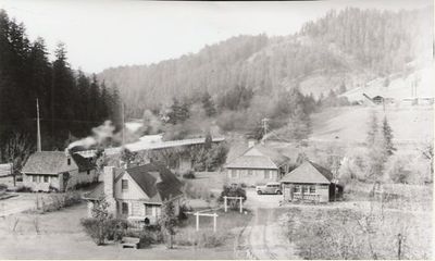
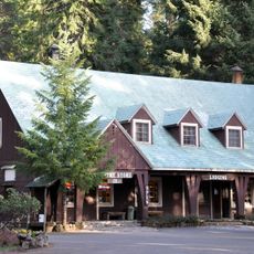
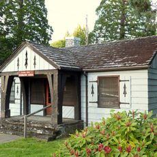
Tiller Ranger Station, Forest Service compound in Douglas County, Oregon.
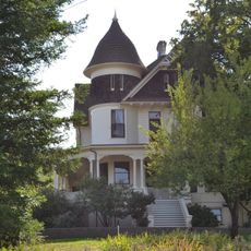
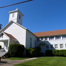
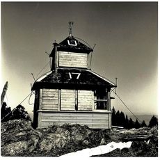
Tiller Ranger Station is a Forest Service compound in Douglas County that contains twenty-seven buildings constructed from native lava stone and wood in the Cascadian rustic style. The structures form a cohesive ensemble of residences, administrative offices, and support buildings arranged across the woodland site.
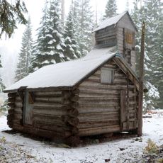
Between 1935 and 1942, the Civilian Conservation Corps built these structures to house and provide office space for Forest Service workers. The project reflected a national effort to develop forestry management infrastructure during the economic crisis of that era.
The station represents the evolution of forest management practices, serving as an administrative headquarters for five ranger districts in the Umpqua National Forest.
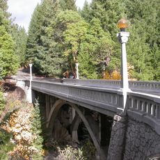
The location sits about 17 miles from Canyonville along Oregon Route 227 in a forested mountain area. Visitors should expect winding roads through high terrain and weather that changes with the seasons.
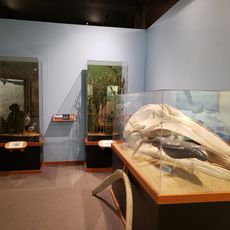
The grounds contain structures that have maintained their original purpose since construction, showing how forest officials once lived and worked on site. The residences and offices offer a rare window into the daily reality of forest management work in the mid-twentieth century.
The community of curious travelers
AroundUs brings together thousands of curated places, local tips, and hidden gems, enriched daily by 60,000 contributors worldwide.