Tualatin Mountains, Mountain range near Portland, Oregon
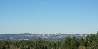
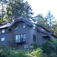
The Tualatin Mountains form a ridge on Portland's western side, with multiple forested peaks rising above the surrounding lowlands. Several roads and trails wind through these slopes, connecting different areas of the metropolitan region.
These mountains were shaped by volcanic activity millions of years ago, when lava flows built up the ridge. Massive floods during the last Ice Age then resculpted the terrain into what we see today.
The range takes its name from the Tualatin Kalapuya, who lived here for thousands of years before European settlement arrived. You can sense this indigenous heritage in how the land is remembered and named today.
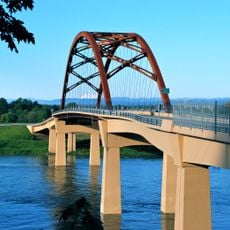
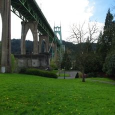
You can cross these mountains by car on U.S. Route 26 or by taking the MAX Light Rail, which passes through a tunnel beneath them. Trails and roads are easiest to navigate during dry months, while winter storms can affect accessibility.
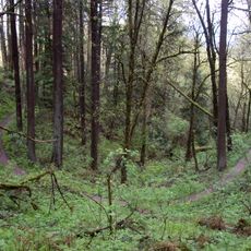
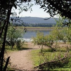
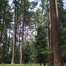
Hidden within these slopes is Forest Park, a large green space with extensive hiking trails that many visitors overlook. Radio transmission towers at the higher elevations quietly serve the surrounding region's communications needs.
The community of curious travelers
AroundUs brings together thousands of curated places, local tips, and hidden gems, enriched daily by 60,000 contributors worldwide.