
Bucks Knob, mountain
Location: Lewis County
Location: Washington
Elevation above the sea: 725 m
GPS coordinates: 46.68194,-123.33389
Latest update: March 18, 2025 15:55
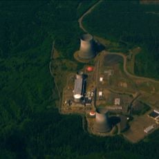
WNP-3 and WNP-5
32.5 km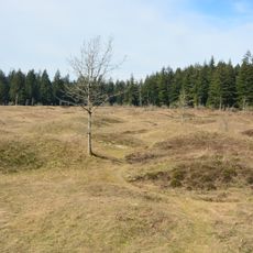
Mima Mounds
32.4 km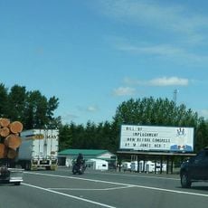
Uncle Sam billboard
33.5 km
Millersylvania State Park
41 km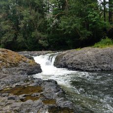
Rainbow Falls State Park
9.7 km
Capitol State Forest
31.8 km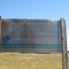
Mima Mounds Natural Area Preserve
32.2 km
Lake Sylvia State Park
40.5 km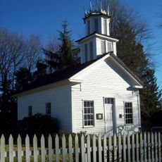
Claquato Church
24.2 km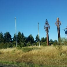
Gospodor Monument Park
42.6 km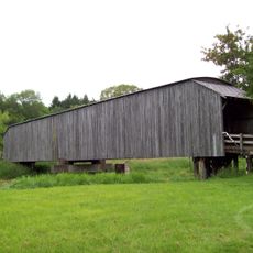
Grays River Covered Bridge
41 km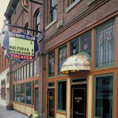
Olympic Club Hotel
29.3 km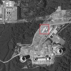
Northwest Cannabis Solutions Satsop facility
33.2 km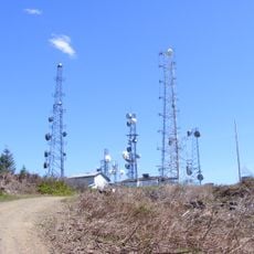
Capitol Peak
35.6 km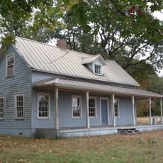
Miller–Brewer House
29.9 km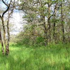
Scatter Creek Unit
30.1 km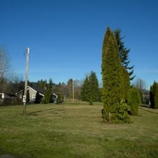
Holy Cross Polish National Catholic Church
13 km
Tenino Stone Company Quarry
41.4 km
Tenino Downtown Historic District
41.6 km
Gate School
23 km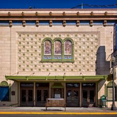
Raymond Theatre
30.2 km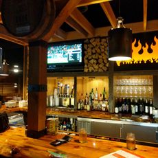
Bear Track Landing Waterpark
27.5 km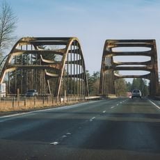
Satsop River Bridges
37.4 km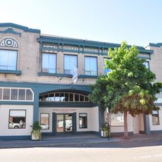
Liberty Theater
29.4 km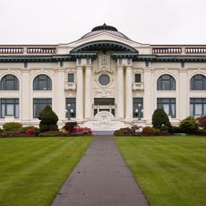
Pacific County Courthouse
36.5 km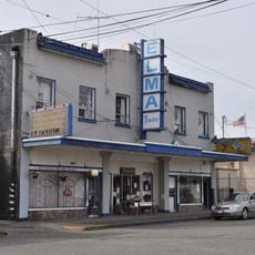
Elma Theater
36.3 km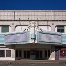
Chehalis Theatre
27.8 km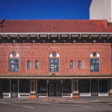
St. Helens Theatre
27.9 kmReviews
Visited this place? Tap the stars to rate it and share your experience / photos with the community! Try now! You can cancel it anytime.
Discover hidden gems everywhere you go!
From secret cafés to breathtaking viewpoints, skip the crowded tourist spots and find places that match your style. Our app makes it easy with voice search, smart filtering, route optimization, and insider tips from travelers worldwide. Download now for the complete mobile experience.

A unique approach to discovering new places❞
— Le Figaro
All the places worth exploring❞
— France Info
A tailor-made excursion in just a few clicks❞
— 20 Minutes