Enable Location

We need your location to show you interesting places around you

Discover nearby places

Find interesting locations and hidden gems around you

Precise directions

Get accurate directions and distances to places

Your location is never shared with other users. It's only used when you tap the location button.

Log in to your account

Start exploring — it's free

Trusted by 61,685 travelers worldwide

Continue with Google
Continue with Apple
or

We will send you a code to connect

By continuing, you accept our Terms and Conditions and our Privacy Policy

Check your inbox

We've sent a pincode in your inbox. Please enter the code below.

Willapa Hills State Park Trail

Willapa Hills State Park Trail, Railroad trail between Chehalis and South Bend, Washington

Description

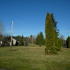
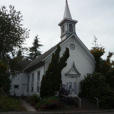
The Willapa Hills State Park Trail is a multiuse pathway stretching across rural Lewis and Pacific Counties with a mix of paved and gravel surfaces. The route crosses rebuilt trestles and passes through farmland and small towns along the way.

History

The trail follows a former Northern Pacific Railway line that once connected communities in the region. Flood damage in 2007 led to the reconstruction of key trestles, which were then incorporated into the modern trail infrastructure.

Culture

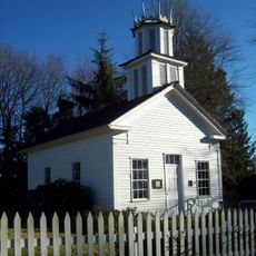
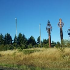
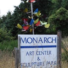
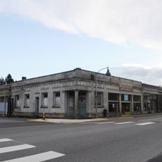
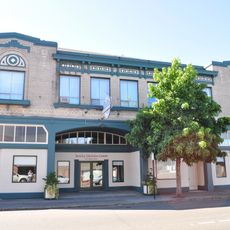
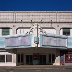
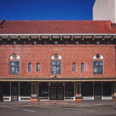
The trail connects several rural communities and passes through Raymond, where metal sculptures line the streets as expressions of local identity. Visitors can see how these towns have chosen to represent their heritage in public spaces.

Practical

Thick-tired bicycles work best for the gravel sections, while the paved portions suit most bikes and walking shoes. Parking at Pe Ell and Adna trailheads requires a Washington State Discover Pass.

Did you know?

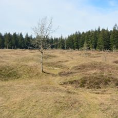
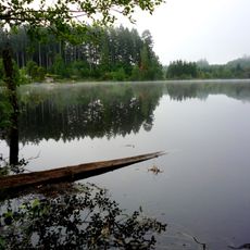
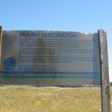
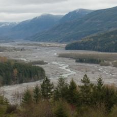
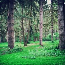
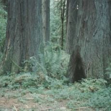
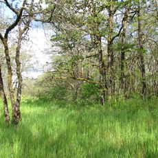
The surface changes noticeably from smooth pavement near Chehalis to rougher natural terrain near South Bend, offering walkers and riders two distinct experiences along the same route. This gradual transition reveals how the landscape shifts from more settled areas to wilder surroundings.

Location
Location
GPS coordinates
46.64750,-122.97333
Latest update
December 13, 2025 12:42

AroundUs brings together thousands of curated places, local tips, and hidden gems, enriched daily by 60,000 contributors worldwide. Discover all places nearby (Lewis County).

Around this place
Mima Mounds
United States of America

Mima Mounds

28.6 km
United States of America

Uncle Sam billboard

6.6 km
Millersylvania State Park
United States of America

Millersylvania State Park

29.7 km
Rainbow Falls State Park
United States of America

Rainbow Falls State Park

19.8 km
Capitol State Forest
United States of America

Capitol State Forest

36.3 km
Mima Mounds Natural Area Preserve
United States of America

Mima Mounds Natural Area Preserve

28.4 km
Ike Kinswa State Park
United States of America

Ike Kinswa State Park

34.7 km
Seaquest State Park
United States of America

Seaquest State Park

41.4 km
Tumwater Falls
United States of America

Tumwater Falls

41.2 km
Olympic Flight Museum
United States of America

Olympic Flight Museum

37 km
Claquato Church
United States of America

Claquato Church

3.8 km
Lewis & Clark State Park
United States of America

Lewis & Clark State Park

18.3 km
Gospodor Monument Park
United States of America

Gospodor Monument Park

22.4 km
Olympic Club Hotel
United States of America

Olympic Club Hotel

7.8 km
Monarch Contemporary Art Center and Sculpture Park
United States of America

Monarch Contemporary Art Center and Sculpture Park

31.8 km
Capitol Peak
United States of America

Capitol Peak

38.3 km
Miller–Brewer House
United States of America

Miller–Brewer House

20.2 km
Scatter Creek Unit
United States of America

Scatter Creek Unit

20.8 km
Holy Cross Polish National Catholic Church
United States of America

Holy Cross Polish National Catholic Church

26.4 km
Tenino Stone Company Quarry
United States of America

Tenino Stone Company Quarry

24.8 km
Tenino Downtown Historic District
United States of America

Tenino Downtown Historic District

25.1 km
Tumwater Methodist Church
United States of America

Tumwater Methodist Church

41.2 km
Lake Lawrence erratic
United States of America

Lake Lawrence erratic

38.6 km
Gate School
United States of America

Gate School

24.7 km
Bear Track Landing Waterpark
United States of America

Bear Track Landing Waterpark

16.1 km
Liberty Theater
United States of America

Liberty Theater

8.2 km
Chehalis Theatre
United States of America

Chehalis Theatre

2.1 km
St. Helens Theatre
United States of America

St. Helens Theatre

2 km
Show the full map
« Willapa Hills State Park Trail - Railroad trail between Chehalis and South Bend, Washington » is provided by Around Us (aroundus.com). Images and texts are derived from Wikimedia project under a Creative Commons license. You are allowed to copy, distribute, and modify copies of this page, under the conditions set by the license, as long as this note is clearly visible.

Discover hidden gems everywhere you go!

From secret cafés to breathtaking viewpoints, skip the crowded tourist spots and find places that match your style. Our app makes it easy with voice search, smart filtering, route optimization, and insider tips from travelers worldwide. Download now for the complete mobile experience.

Around Us App Screenshot

A unique approach to discovering new places

Le Figaro

All the places worth exploring

France Info

A tailor-made excursion in just a few clicks

20 Minutes

Around Us
Travel Guide & Maps
Download

Send to your phone

QR Code
1

Open the camera app on your mobile.

2

Point at the QR code with your camera. A notification will appear.

3

Tap the notification to open the link.