Vernonia, city in Columbia County, Oregon, United States
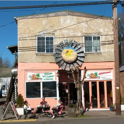
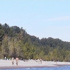
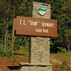
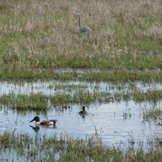
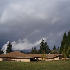
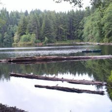
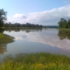
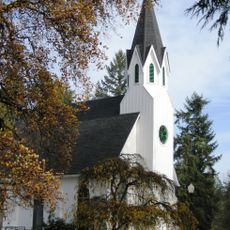
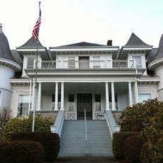
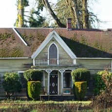
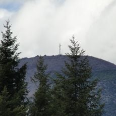
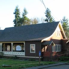
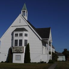
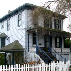
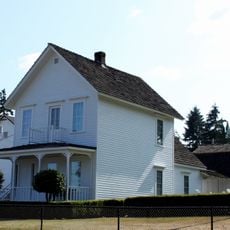
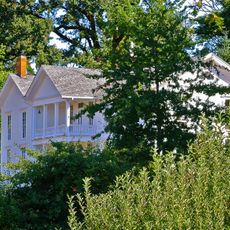
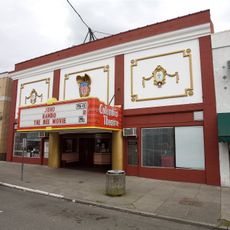
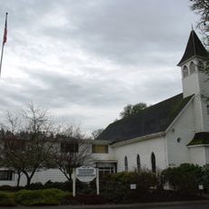
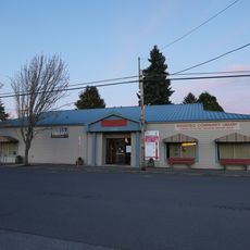
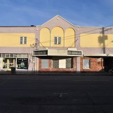
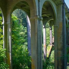
Vernonia is a small city in Columbia County, Oregon, surrounded by forests and green spaces. The downtown area has older buildings and simple shops, while nearby you find lakes, rivers, and trails winding through the woods.
Vernonia was founded in 1874 and named after Ozias Cherrington's daughter, with its growth tied to the logging industry. By the late 1900s, timber production declined, prompting the town to embrace tourism and smaller businesses.
The town's name comes from Ozias Cherrington's daughter Vernona, reflecting the personal story behind its founding. Walking through downtown, you notice how the logging industry shaped the buildings and layout that visitors see today.
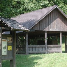
You can reach Vernonia easily by car via Highway 47, with a small local airport serving visitors from farther away. Simple accommodations and cafes are scattered around town, and being surrounded by forest means bringing proper hiking shoes and rain gear for wet winter months.
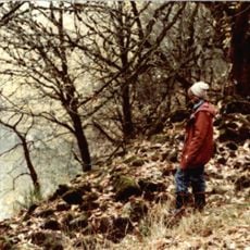
The annual Friendship Jamboree and Logging Show features traditional timber competitions like axe throwing and log rolling. This event lets visitors experience the logging heritage in a hands-on, lively way that goes beyond museum exhibits.
The community of curious travelers
AroundUs brings together thousands of curated places, local tips, and hidden gems, enriched daily by 60,000 contributors worldwide.