Sandy River, River system in Multnomah and Clackamas Counties, United States.
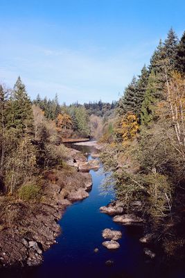
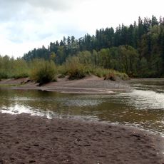
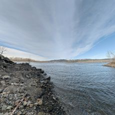
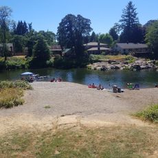
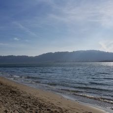
The Sandy River is a river in northwestern Oregon, USA, rising from the glaciers of Mount Hood and running through Multnomah and Clackamas Counties before emptying into the Columbia River. It passes through forests, rocky canyons, and open valleys, with the upper sections being narrow and fast while the lower portions grow wider and slower.
Lewis and Clark encountered the river in 1805 and named it Quicksand River after the deep sand deposits they observed at its mouth. The name was later shortened and simplified to Sandy River, keeping the reference to that same sandy feature.
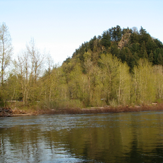
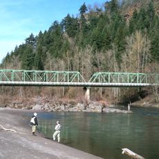
The Sandy River draws many fly fishers, especially in the stretches near Dodge Park and Oxbow Regional Park, where the current runs clear and the banks are easy to wade. Watching anglers work the river is itself a common part of a visit here.
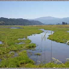
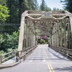
Oxbow Regional Park and Dodge Park are two of the most accessible entry points along the river, each offering parking, picnic areas, and trails close to the water. Conditions on the river change considerably between seasons, so it is a good idea to check current water levels before heading out.
The Marmot Dam, built in the early 1900s, blocked fish from moving upstream for decades until its removal in 2007, which was one of the largest dam removals in Oregon's history at that time. Since then, steelhead and Chinook salmon have returned to stretches of the river they had not been able to reach for generations.
The community of curious travelers
AroundUs brings together thousands of curated places, local tips, and hidden gems, enriched daily by 60,000 contributors worldwide.