
Washougal Oaks Natural Area Preserve
Washougal Oaks Natural Area Preserve, natural area in Clark County, Washington state, United States of America
Location: Washington
Location: Clark County
Elevation above the sea: 121 m
Operator: Washington Department of Natural Resources
Shares border with: Washougal Oaks Natural Resource Conservation Area
Website: https://dnr.wa.gov/washougal-oaks-natural-area
GPS coordinates: 45.56520,-122.26970
Latest update: April 22, 2025 10:44
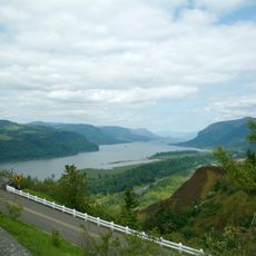
Historic Columbia River Highway
8.9 km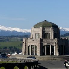
Vista House
3.4 km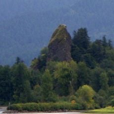
Rooster Rock State Park
3.5 km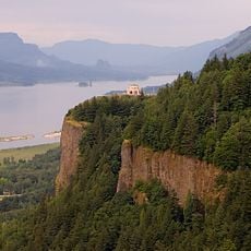
Crown Point
3.5 km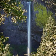
Latourell Falls
5.1 km
Oxbow Regional Park
7.9 km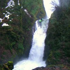
Bridal Veil Falls
7.1 km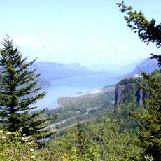
Chanticleer Point
3.1 km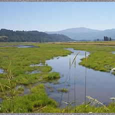
Steigerwald Lake National Wildlife Refuge
2.6 km
View Point Inn
3.9 km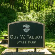
Guy W. Talbot State Park
4.8 km
Lewis and Clark State Recreation Site
8.8 km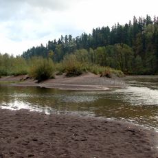
Dabney State Recreation Area
8.4 km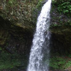
George W. Joseph State Natural Area
5.5 km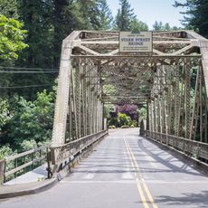
Stark Street Bridge
9 km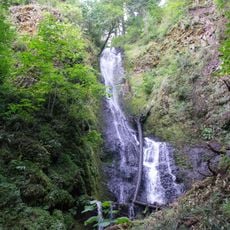
Coopey Falls
8.1 km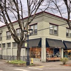
Farrell Building
10.8 km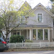
John Roffler House
10.8 km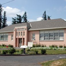
Springdale School
6.9 km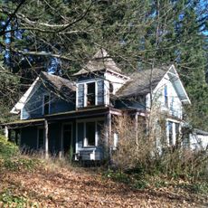
Andreas Graf House
7.7 km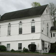
Troutdale Methodist Episcopal Church
9.6 km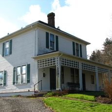
Fred Harlow House
9.3 km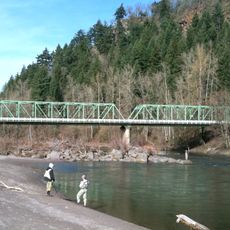
Troutdale Sandy River Bridge
8.9 km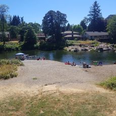
Sandy Swimming Hole
8 km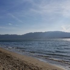
Cottonwood Beach
5.4 km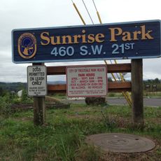
Sunrise Park
10.5 km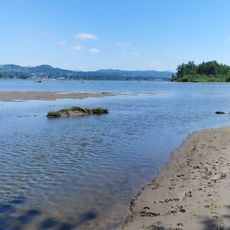
Sundial Beach
10.5 km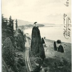
Pillars of Hercules
6.5 kmReviews
Visited this place? Tap the stars to rate it and share your experience / photos with the community! Try now! You can cancel it anytime.
Discover hidden gems everywhere you go!
From secret cafés to breathtaking viewpoints, skip the crowded tourist spots and find places that match your style. Our app makes it easy with voice search, smart filtering, route optimization, and insider tips from travelers worldwide. Download now for the complete mobile experience.

A unique approach to discovering new places❞
— Le Figaro
All the places worth exploring❞
— France Info
A tailor-made excursion in just a few clicks❞
— 20 Minutes