Cape Flattery, Northwestern coastal promontory in Washington, United States
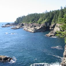
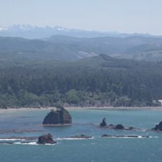
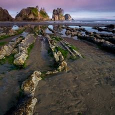
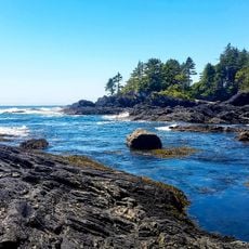
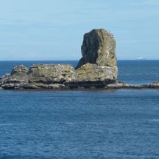
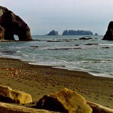
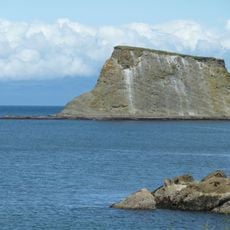
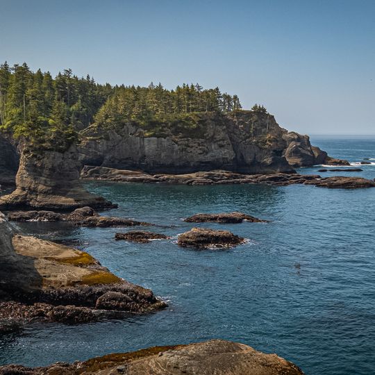
Cape Flattery is the northwesternmost point of the contiguous United States, on the Olympic Peninsula in Clallam County, Washington, where the Strait of Juan de Fuca meets the Pacific Ocean. Its steep, layered grey and tan cliff rises from the water, topped by dense dark green coniferous forest, with flat rock shelves and small islets at its base. Just offshore stands Fuca Pillar, a tall, almost rectangular rock on the west side of the cape.
James Cook named Cape Flattery on March 22, 1778, after noting a small opening that "flattered" him with hopes of a harbor. It is the oldest non-Native permanently named feature in Washington. In 1834, three Japanese castaways (Iwakichi, Kyukichi, and Otokichi) reached the cape after their dismasted ship ran aground; the Makah briefly enslaved them before William H. McNeill took them to Fort Vancouver.
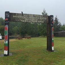
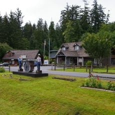
The cape lies within the Makah Reservation, and the Makah name for the area is reflected in nearby Neah Bay. The cape marks the northern boundary of the Olympic Coast National Marine Sanctuary. The Makah allow access through their land, and a recreation pass is required for visitors.
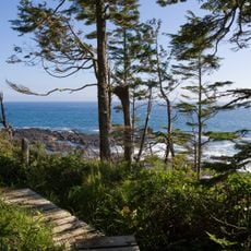
Visitors need a Makah Recreation Pass and follow a trail through forest that leads to the observation platforms. Wear sturdy shoes and bring rain gear, as weather can change quickly along the coast.
The cape's westernmost tip lies almost exactly as far west as Cape Alava, about 5 seconds of longitude or roughly 360 feet (110 m) apart at high tide. Fuca Pillar, a tall, nearly rectangular rock off the west side, was first generally accepted as mentioned by John Meares in 1788.
The community of curious travelers
AroundUs brings together thousands of curated places, local tips, and hidden gems, enriched daily by 93,783 contributors worldwide.