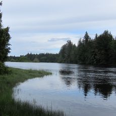
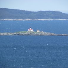
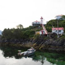
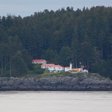
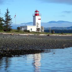
Alert Bay, Village on Cormorant Island, British Columbia, Canada.
Alert Bay is a small village located on Cormorant Island off the northeast coast of Vancouver Island, featuring a population of approximately 450 residents and covering an area of about 0.65 square miles (1.69 square kilometers).
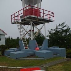
The community was named after the Royal Navy ship HMS Alert, which surveyed the area in the 1860s, and has served for centuries as an important site for the Kwakwaka'wakw people who have inhabited this region.
The village is home to the U'mista Cultural Centre, which displays traditional masks and regalia confiscated in the early 20th century, and hosts Indigenous festivals that celebrate dance, music, art, and storytelling traditions of the Kwakwaka'wakw Nation.
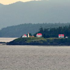
Accessible by BC Ferries connecting to Port McNeill and Sointula, Alert Bay offers basic amenities including a health center, grocery stores, small lodges, and a marina for boats arriving from Vancouver Island and the mainland.
The village features the world's tallest totem pole, standing over 173 feet (53 meters) high, which was erected in 1997 to symbolize the cultural heritage of the Kwakwaka'wakw people and serves as a landmark for visitors.
Location: Regional District of Mount Waddington
Elevation above the sea: 30 m
Website: https://alertbay.ca
GPS coordinates: 50.58250,-126.92528
Latest update: November 28, 2025 15:19
Strathcona Provincial Park
115.3 km
Cape Scott Provincial Park
100.8 km
Muqqiwn Provincial Park
78.4 km
Nimpkish River
41.9 km
Artlish Caves Provincial Park
46.3 km
Cape Scott Lighthouse
108.3 km
Salmon River
74.3 km
Marble River Provincial Park
42.7 km
Solander Island Ecological Reserve
69.5 km
Scarlett Point Lighthouse
57.5 km
Raft Cove Provincial Park
92.4 km
Quatsino Provincial Park
63.9 km
Woss Lake Provincial Park
57.8 km
Penrose Island Marine Provincial Park
113 km
Echo Bay Marine Provincial Park
35.7 km
Bligh Island Marine Provincial Park
109.2 km
Broughton Archipelago Marine Provincial Park
20.5 km
Big Bunsby Marine Provincial Park
66.7 km
Kingcome River
82.7 km
Muchalat Inlet
114.5 km
Pashleth Glacier
116.5 km
Kingcome Glacier
103.2 km
Trudel Glacier
104.8 km
Zeballos Peak
55.3 km
Egg Island Lighthouse
97.8 km
Nootka Lighthouse
112.4 km
Pine Island Lighthouse
71.5 km
Pulteney Point Lighthouse
17.1 kmVisited this place? Tap the stars to rate it and share your experience / photos with the community! Try now! You can cancel it anytime.
Discover hidden gems everywhere you go!
From secret cafés to breathtaking viewpoints, skip the crowded tourist spots and find places that match your style. Our app makes it easy with voice search, smart filtering, route optimization, and insider tips from travelers worldwide. Download now for the complete mobile experience.
A unique approach to discovering new places❞
— Le Figaro
All the places worth exploring❞
— France Info
A tailor-made excursion in just a few clicks❞
— 20 Minutes