Vancouver Island Ranges, Mountain range in Vancouver Island, Canada.
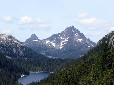
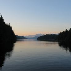
The Vancouver Island Ranges form a mountain chain running the length of Vancouver Island with about 537 named peaks throughout the system. Golden Hinde stands as the highest point at approximately 2,200 meters, dominating the surrounding landscape.
Captain James Cook first documented these mountains in 1778 during his exploration of Vancouver Island, recording them in his navigation logs. His voyage marked the beginning of European records about this mountain system.
The Kwakwaka'wakw and Nuu-chah-nulth First Nations have lived in connection with these mountains for thousands of years, and the peaks remain central to their traditions today. Local place names and routes through the range reflect the deep knowledge these communities have held across generations.
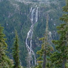
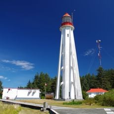
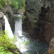
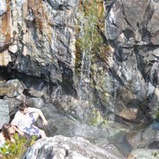
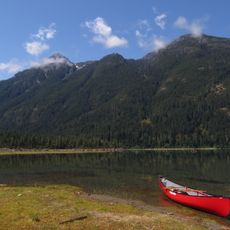
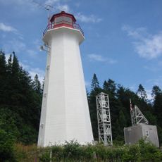
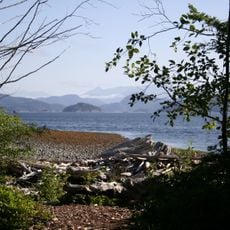
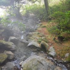
Strathcona Provincial Park offers numerous trails throughout the range, with summer providing the most favorable conditions for hiking and exploration. Check local conditions before heading out, as weather and snow can quickly affect accessibility across different areas.
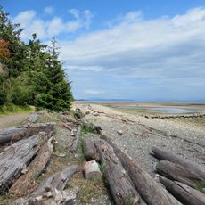
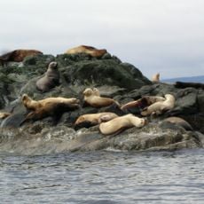
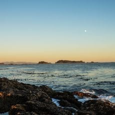
The range supports four distinct ecological zones that create varied habitats for wildlife including black bears and Roosevelt elk within close proximity. This concentration of different environments makes the system ecologically complex despite its narrow geography.
The community of curious travelers
AroundUs brings together thousands of curated places, local tips, and hidden gems, enriched daily by 60,000 contributors worldwide.