Chest opened
+${chestReward.xp} XP
Explorer
NOUVEAU ×${chestReward.collectible.quantity}
tapez pour fermer

See the monuments around you in AR Open chests in the app

Around Us is built for your phone — point your camera at the streets and discover the monuments and places around you in augmented reality. Around Us is built for your phone — chests unlock when you walk, explore and capture nearby places.

Enable Location

We need your location to show you interesting places around you

Discover nearby places

Find interesting locations and hidden gems around you

Precise directions

Get accurate directions and distances to places

Your location is never shared with other users. It's only used when you tap the location button.

Elwha River

Log in to your account

Start exploring — it's free

Trusted by 86,343 travelers worldwide

Continue with Google
Continue with Apple
or

We will send you a code to connect

By continuing, you accept our Terms and Conditions and our Privacy Policy

Check your inbox

We've sent a pincode in your inbox. Please enter the code below.

Elwha River
Discussion Reviews 1 Photos
12.4k Popularity

Elwha River, River system in Olympic Peninsula, Washington, US

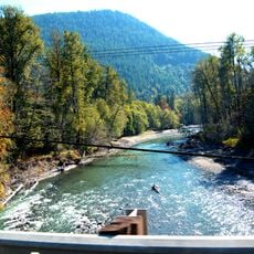
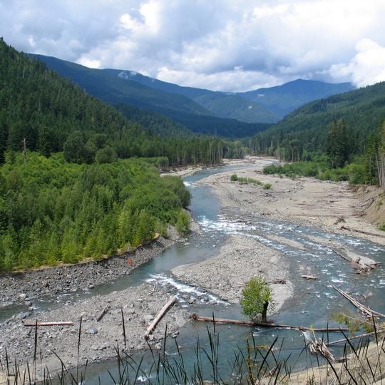
The Elwha River is a river system on the Olympic Peninsula that flows from the Olympic Mountains through dense forests to the Strait of Juan de Fuca. The water moves through deep valleys with steep banks and clear pools where it slows before continuing toward the coast.

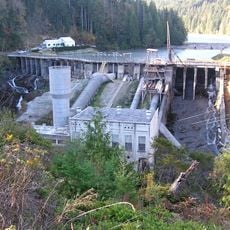
Two large dams were built in the early 1900s to generate electricity for Port Angeles, blocking the river and stopping salmon from migrating upstream. These structures controlled the water for power production for over a century.

The river holds deep meaning for the Lower Elwha Klallam people, who relied on its salmon for food and survival for countless generations. This connection remains visible today in how the community relates to the river and its restoration.

The area is most easily reached from Highway 101, with several spots to view the river or walk into the valleys alongside it. The best times to visit are spring and fall, when water levels are moderate and trails tend to be drier.

Both dams were removed in 2014 in one of the largest river restoration efforts in the region, releasing sediment that created new estuary wetlands at the mouth. These newly opened areas have allowed salt-loving plants and wildlife adapted to tidal zones to reestablish themselves.

The community of curious travelers

AroundUs brings together thousands of curated places, local tips, and hidden gems, enriched daily by 60,000 contributors worldwide.
Start exploring
Location
GPS coordinates
48.14722,-123.56611
Latest update
September 12, 2026 02:18
Around this place
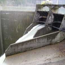
Elwha Dam
United States of America

Elwha Dam

3.6 mi
Glines Canyon Dam
United States of America

Glines Canyon Dam

10.2 mi
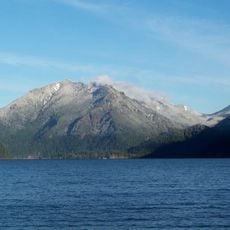
Mount Storm King
United States of America

Mount Storm King

10.3 mi
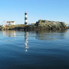
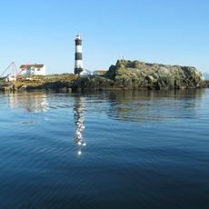
Race Rocks Light
Canada

Race Rocks Light

10.6 mi
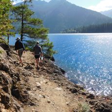
Spruce Railroad Trail
United States of America

Spruce Railroad Trail

11.6 mi
Race Rocks Ecological Reserve
Canada

Race Rocks Ecological Reserve

10.6 mi
Tse-whit-zen
United States of America

Tse-whit-zen

4.9 mi
Mount Angeles
United States of America

Mount Angeles

11.5 mi
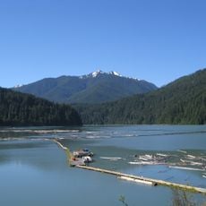
Lake Mills
United States of America

Lake Mills

10.2 mi
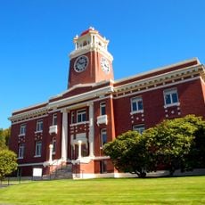
Clallam County Courthouse
United States of America

Clallam County Courthouse

6.5 mi
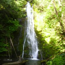
Madison Creek Falls
United States of America

Madison Creek Falls

7.4 mi
Pyramid Mountain
United States of America

Pyramid Mountain

12.2 mi
United States of America

Hurricane Hill

11 mi
Tongue Point
United States of America

Tongue Point

6.6 mi
Storm King Ranger Station
United States of America

Storm King Ranger Station

11.9 mi
Elwha River Bridge
United States of America

Elwha River Bridge

2.4 mi
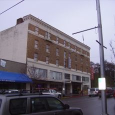
Masonic Temple
United States of America

Masonic Temple

6.4 mi
Altair Campground Community Kitchen
United States of America

Altair Campground Community Kitchen

9.5 mi
Naval Lodge Elks Building
United States of America

Naval Lodge Elks Building

6.5 mi
Elwha Ranger Station
United States of America

Elwha Ranger Station

9.1 mi
Olympic National Park Headquarters Historic District
United States of America

Olympic National Park Headquarters Historic District

6.9 mi
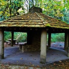
Elwha Campground Community Kitchen
United States of America

Elwha Campground Community Kitchen

8.3 mi
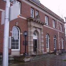
United States Post Office
United States of America

United States Post Office

6.3 mi
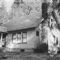
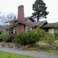
Joseph Paris House
United States of America

Joseph Paris House

6.4 mi
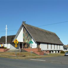
Holy Trinity Lutheran Church
United States of America

Holy Trinity Lutheran Church

6.5 mi
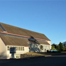
St. Matthew’s Lutheran Church
United States of America

St. Matthew’s Lutheran Church

6.4 mi
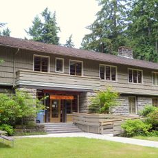
Olympic National Park Visitor Center
United States of America

Olympic National Park Visitor Center

7.3 mi
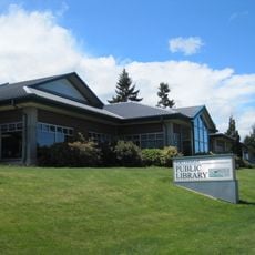
Port Angeles Main Library
United States of America

Port Angeles Main Library

6.6 mi
Show the full map
Reviews
Share your experience

No review yet

Discussions
Start a discussion...

No discussion yet

« Elwha River - River system in Olympic Peninsula, Washington, US » is provided by Around Us (aroundus.com). Images and texts are derived from Wikimedia project under a Creative Commons license. You are allowed to copy, distribute, and modify copies of this page, under the conditions set by the license, as long as this note is clearly visible.

Discover hidden gems everywhere you go!

From secret cafés to breathtaking viewpoints, skip the crowded tourist spots and find places that match your style. Our app makes it easy with voice search, smart filtering, route optimization, and insider tips from travelers worldwide. Download now for the complete mobile experience.
Around Us App Screenshot

A unique approach to discovering new places

Le Figaro

All the places worth exploring

France Info

A tailor-made excursion in just a few clicks

20 Minutes

Around Us
Travel Guide & Maps
Download

Send to your phone

QR Code
1

Open the camera app on your mobile.

2

Point at the QR code with your camera. A notification will appear.

3

Tap the notification to open the link.