Richmond, Coastal city in British Columbia, Canada
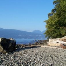
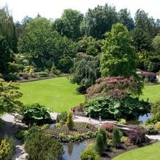
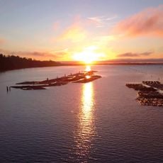
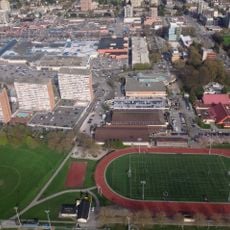
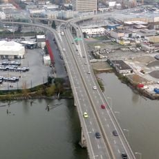
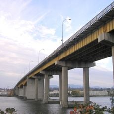
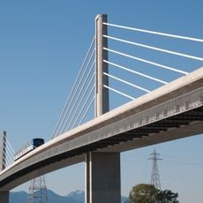
This place sits on several islands in the Fraser River delta, connected by bridges and kept safe from flooding by a network of raised paths. Most neighbourhoods lie just a few metres above sea level, making the landscape flat and open, with views of coastal mountains on the horizon.
The area formed in 1879 as a grouping of farming settlements and fishing villages, many founded by Japanese and Chinese immigrants. After the airport opened on Sea Island in the 1930s, the shift from rural land to a suburb of Vancouver began.
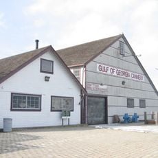
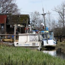
The Steveston neighbourhood shows wooden buildings from the late 1800s along the waterfront, where fishers still sell salmon and halibut directly from their boats each morning. Visitors can walk along the dock and smell fresh catch while gulls gather around market stalls.
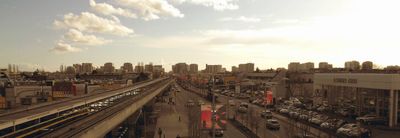
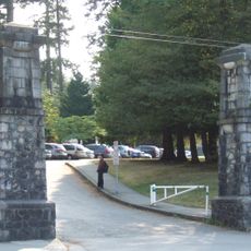
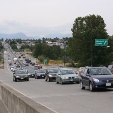
The Canada Line connects all islands directly to downtown Vancouver, with the journey taking about 25 minutes. Drivers should expect regular traffic jams during rush hours, especially on bridges between islands.
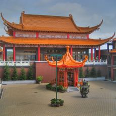
Most street signs and information boards in the centre appear in both English and traditional Chinese, which is immediately noticeable when walking around. Many shopping malls have entire floors with Asian supermarkets, where you find fresh tofu, live seafood in tanks, and dozens of types of rice.
The community of curious travelers
AroundUs brings together thousands of curated places, local tips, and hidden gems, enriched daily by 60,000 contributors worldwide.