Enable Location

We need your location to show you interesting places around you

Discover nearby places

Find interesting locations and hidden gems around you

Precise directions

Get accurate directions and distances to places

Your location is never shared with other users. It's only used when you tap the location button.

Log in to your account

Start exploring — it's free

Trusted by 61,447 travelers worldwide

Continue with Google
Continue with Apple
or

We will send you a code to connect

By continuing, you accept our Terms and Conditions and our Privacy Policy

Check your inbox

We've sent a pincode in your inbox. Please enter the code below.

Chief Sealth Trail

Chief Sealth Trail, Recreational trail in Beacon Hill, United States.

Description

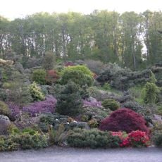
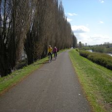
The Chief Sealth Trail is a paved path in southeast Seattle that connects Jefferson Park with Kubota Gardens while running beneath power transmission lines. The route passes through mixed terrain with green spaces, gardens, and open areas that shape the local landscape.

History

The path came into being in 2007 as part of local infrastructure development in southeast Seattle. Recycled materials from the Link light rail construction along Martin Luther King Jr. Way were incorporated into its creation.

Culture

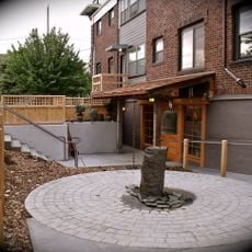
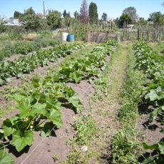
The trail is named after Chief Sealth, a leader of the Duwamish and Suquamish peoples whose legacy remains woven into Seattle's identity. Local communities use the surrounding areas for gardening projects and nature connection that reflect the land's heritage.

Practical

The path is easily accessible and can be reached from several King County Metro transit stops. Since the route is open year-round, visitors should wear weather-appropriate clothing and be mindful of lighting during darker months.

Did you know?

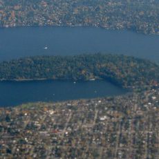
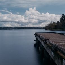
The path offers views of the Cascade Range, Olympic Mountains, Mount Rainier, and Lake Washington despite running beneath power transmission lines. This mix of mountain views and industrial infrastructure creates an unusual backdrop for a city walk.

Location
GPS coordinates
47.53860,-122.28900
Latest update
December 13, 2025 12:20

AroundUs brings together thousands of curated places, local tips, and hidden gems, enriched daily by 60,000 contributors worldwide. Discover all places nearby (Washington).

Around this place
Show the full map
« Chief Sealth Trail - Recreational trail in Beacon Hill, United States » is provided by Around Us (aroundus.com). Images and texts are derived from Wikimedia project under a Creative Commons license. You are allowed to copy, distribute, and modify copies of this page, under the conditions set by the license, as long as this note is clearly visible.

Discover hidden gems everywhere you go!

From secret cafés to breathtaking viewpoints, skip the crowded tourist spots and find places that match your style. Our app makes it easy with voice search, smart filtering, route optimization, and insider tips from travelers worldwide. Download now for the complete mobile experience.

Around Us App Screenshot

A unique approach to discovering new places

Le Figaro

All the places worth exploring

France Info

A tailor-made excursion in just a few clicks

20 Minutes

Around Us
Travel Guide & Maps
Download

Send to your phone

QR Code
1

Open the camera app on your mobile.

2

Point at the QR code with your camera. A notification will appear.

3

Tap the notification to open the link.