
Denny Camp Falls, waterfall
Location: Washington
Part of: Snoqualmie River
GPS coordinates: 47.41850,-121.43900
Latest update: May 8, 2025 14:21
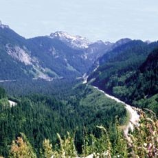
Snoqualmie Pass
2.7 km
Stampede Pass
16.4 km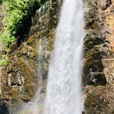
Franklin Falls
852 m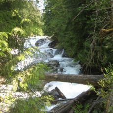
Olallie State Park
16.3 km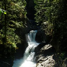
Twin Falls
19.6 km
Kendall Katwalk
5.9 km
Granite Mountain
3.2 km
Bandera Mountain
7.5 km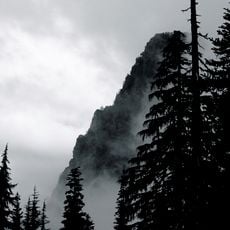
Guye Peak
3.5 km
Snoqualmie Mountain
4.8 km
McClellan Butte
13.9 km
Alta Mountain
8.4 km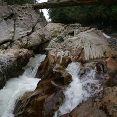
Weeks Falls
15.6 km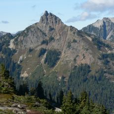
Huckleberry Mountain
10 km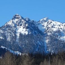
Denny Mountain
2.3 km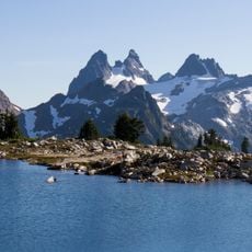
Chimney Rock
15.3 km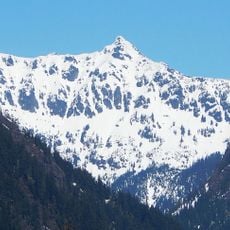
Chikamin Peak
11.5 km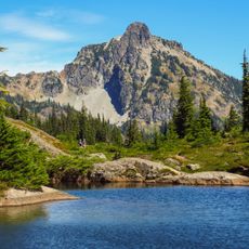
Hibox Mountain
10.5 km
Alaska Mountain
8.6 km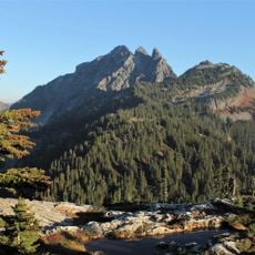
Three Queens
13 km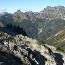
Lemah Mountain
13.1 km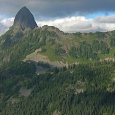
Mount Thomson
8.4 km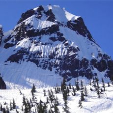
Chair Peak
5 km
Humpback Mountain
6.6 km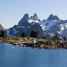
Overcoat Peak
15.3 km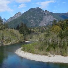
The Pulpit
14.3 km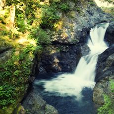
Middle Twin Falls
19.5 km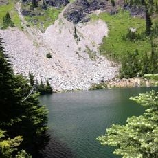
Mount Margaret
8.5 kmReviews
Visited this place? Tap the stars to rate it and share your experience / photos with the community! Try now! You can cancel it anytime.
Discover hidden gems everywhere you go!
From secret cafés to breathtaking viewpoints, skip the crowded tourist spots and find places that match your style. Our app makes it easy with voice search, smart filtering, route optimization, and insider tips from travelers worldwide. Download now for the complete mobile experience.

A unique approach to discovering new places❞
— Le Figaro
All the places worth exploring❞
— France Info
A tailor-made excursion in just a few clicks❞
— 20 Minutes