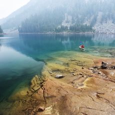
Snoqualmie Mountain, Mountain peak in King County, United States.
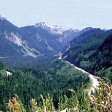
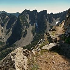
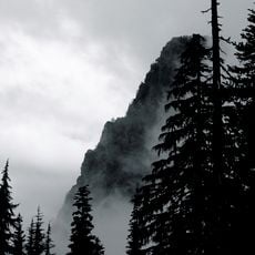
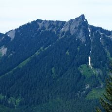
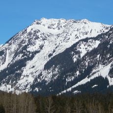
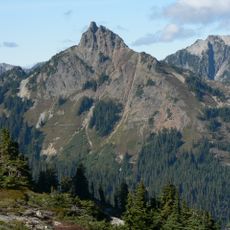
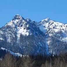
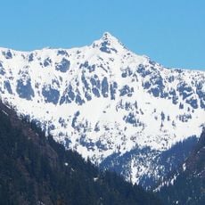
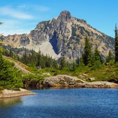
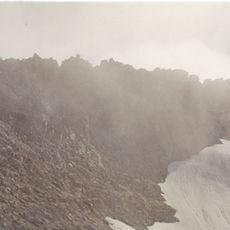
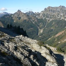
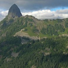
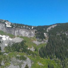
Snoqualmie Mountain is a peak in the Cascade Range rising to 5,577 feet above sea level. The mountain features varied terrain across its slopes, with heavy snow coverage in winter months that changes its appearance dramatically season to season.
The first recorded ascent was by Albert H. Sylvester in 1897 or 1898, the topographer who named many features of the North Cascades. The summit later became a boundary point: the Alpine Lakes Wilderness line crosses it, so the peak stands on the edge of protected land rather than inside it alone.
The name comes from the Snoqualmie people, whose name is often said to mean "people of the moon." The first recorded ascent was by Albert H. Sylvester in 1897 or 1898; he was a topographer who named many features in the region. Today the mountain is climbed via the south ridge from Cave Ridge, a non-technical hike.
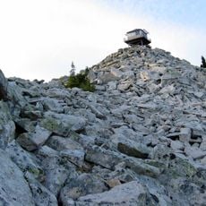
The south ridge from Cave Ridge is a non-technical hike; reach Cave Ridge from just south of the Snow Lake trailhead near Alpental to the west or from the Commonwealth Basin to the east. Allow about 4 hours to reach the summit. The Alpine Lakes Wilderness boundary crosses the summit.
The Alpine Lakes Wilderness boundary crosses the summit, and the mountain's shape is often called "amorphous" or blob-like. Its steep north face drops to the Middle Fork of the Snoqualmie River. The first recorded ascent was by Albert H. Sylvester in 1897 or 1898.
The community of curious travelers
AroundUs brings together thousands of curated places, local tips, and hidden gems, enriched daily by 93,910 contributors worldwide.