
Lewis Peak, mountain in Snohomish County, Washington, United States
Location: Washington
Location: Snohomish County
Elevation above the sea: 1,709 m
GPS coordinates: 48.00538,-121.46261
Latest update: June 8, 2025 19:20
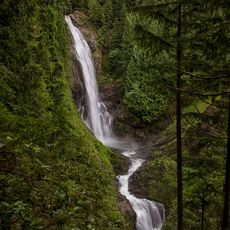
Wallace Falls State Park
20.7 km
Mount Baker-Snoqualmie National Forest
19.7 km
Big Four Mountain
6.1 km
Big Bear Mountain
22.8 km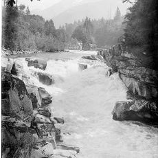
Eagle Falls
23.6 km
Mount Pugh
16.7 km
Mount Dickerman
7.1 km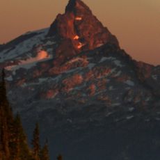
Sloan Peak
10 km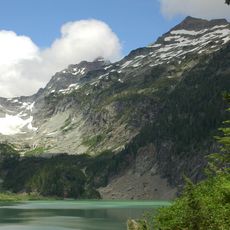
Columbia Glacier
9.8 km
Monte Cristo Peak
9.8 km
Sunset Falls
23.3 km
White Chuck Cinder Cone
22.6 km
Gothic Peak
2.6 km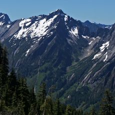
Morning Star Peak
2.1 km
Kyes Peak
10.6 km
Del Campo Peak
1.7 km
Silvertip Peak
4.6 km
Mount Forgotten
10.5 km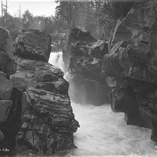
Canyon Falls (Washington)
23 km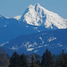
Liberty Mountain
20.8 km
Columbia Peak
9 km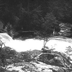
Bear Creek Falls
13.9 km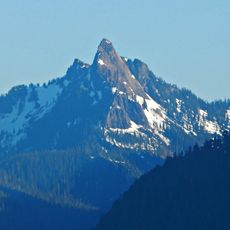
Devils Thumb
15.2 km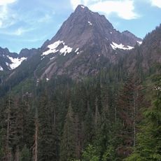
Sperry Peak
3.2 km
Cadet Peak
8.8 km
Hall Peak
8.4 km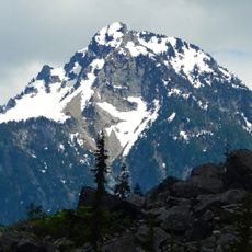
Sheep Mountain
4 km
Stillaguamish Peak
10 kmReviews
Visited this place? Tap the stars to rate it and share your experience / photos with the community! Try now! You can cancel it anytime.
Discover hidden gems everywhere you go!
From secret cafés to breathtaking viewpoints, skip the crowded tourist spots and find places that match your style. Our app makes it easy with voice search, smart filtering, route optimization, and insider tips from travelers worldwide. Download now for the complete mobile experience.

A unique approach to discovering new places❞
— Le Figaro
All the places worth exploring❞
— France Info
A tailor-made excursion in just a few clicks❞
— 20 Minutes