Bonaparte River, Brook in Thompson-Nicola region, British Columbia, Canada
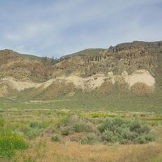
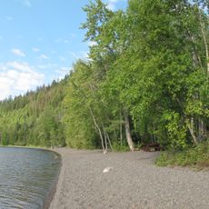
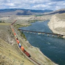
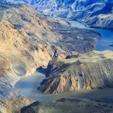
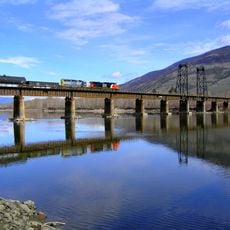
The Bonaparte River is a brook flowing through the Thompson-Nicola region of British Columbia, traveling roughly 150 kilometers across diverse terrain. It winds through wetlands and forests before meeting the Thompson River near Ashcroft.
Archibald McDonald of the Hudson's Bay Company first mapped this waterway in 1827 and named it after Napoleon Bonaparte. This naming by a European fur trader became the lasting designation for the river in written records.
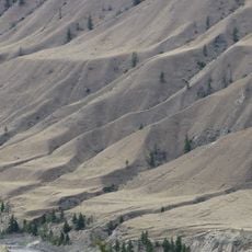
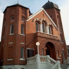
The waterway was called Kluhtows by the Secwepemc people, a name reflecting the gravelly riverbed that you can see along its course. The landscape holds deep meaning for Indigenous communities who have lived along these waters for generations.
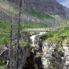
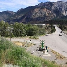
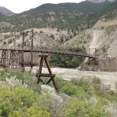
The river offers multiple spots where you can access it for outdoor activities like hiking and wildlife watching. Summer and early fall are the best times to visit when weather is stable and trails are easy to navigate.
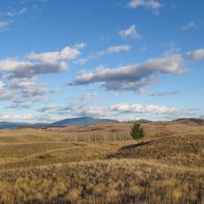
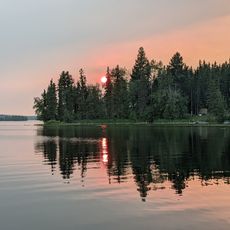
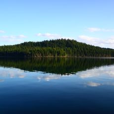
Bonaparte Lake feeds the headwaters of this river system and contributes about 17 kilometers to the overall waterway. This mountain lake reservoir often goes unnoticed by visitors but plays a key role in feeding water to the entire stream.
The community of curious travelers
AroundUs brings together thousands of curated places, local tips, and hidden gems, enriched daily by 60,000 contributors worldwide.