Chest opened
+${chestReward.xp} XP
Explorer
NOUVEAU ×${chestReward.collectible.quantity}
tapez pour fermer
Chest locked

Open chests in the app

Around Us is built for your phone — chests unlock when you walk, explore and capture nearby places.

Enable Location

We need your location to show you interesting places around you

Discover nearby places

Find interesting locations and hidden gems around you

Precise directions

Get accurate directions and distances to places

Your location is never shared with other users. It's only used when you tap the location button.

Lake Los Angeles

Log in to your account

Start exploring — it's free

Trusted by 72,962 travelers worldwide

Continue with Google
Continue with Apple
or

We will send you a code to connect

By continuing, you accept our Terms and Conditions and our Privacy Policy

Check your inbox

We've sent a pincode in your inbox. Please enter the code below.

Discussion Reviews 1 Photos
22.5k Popularity

Lake Los Angeles, Census-designated place in Los Angeles County, United States.

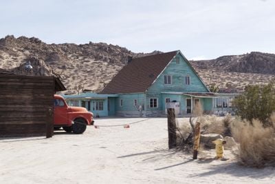
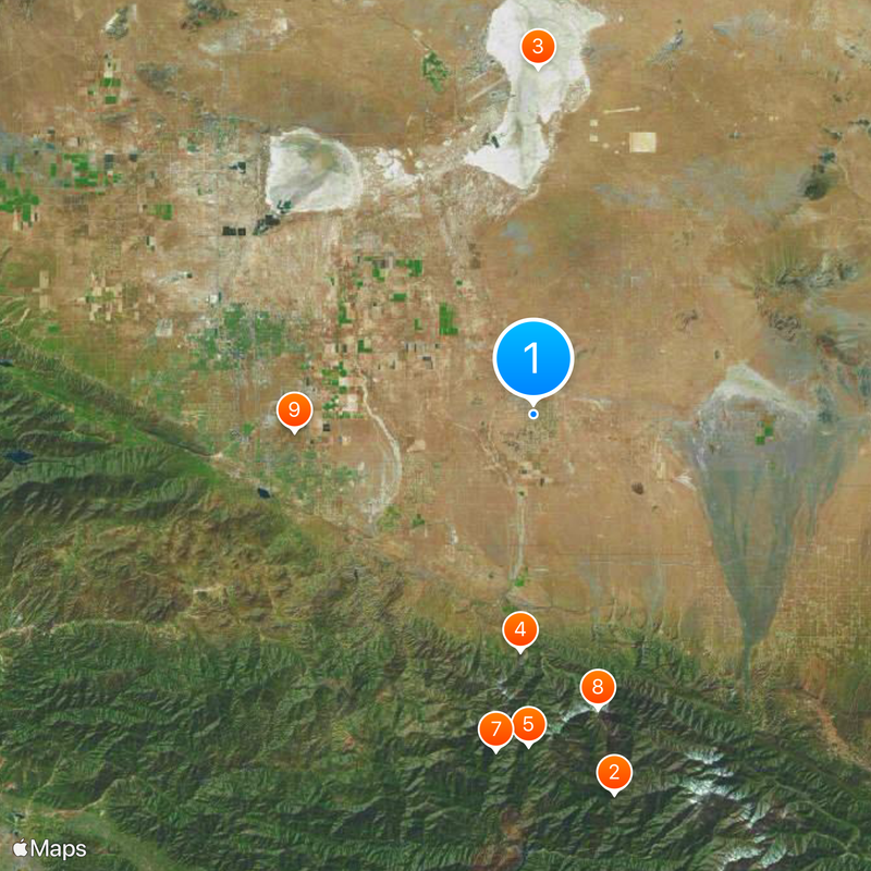
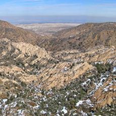
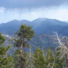
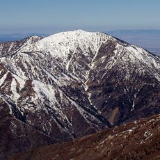
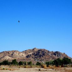
Lake Los Angeles is a residential area in Los Angeles County located in desert terrain at an elevation of 811 meters (2,660 feet). The place consists mainly of homes spread across the surrounding Mojave Desert landscape.

Development of the area started in the 1960s as a housing project meant to offer affordable homes outside major cities. This plan reflected suburban growth during that period.

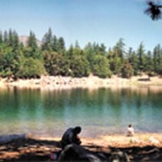
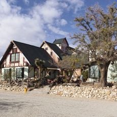
The community brings together families from many different backgrounds who gather for neighborhood events and local activities. This mix of people shapes daily life in the area.

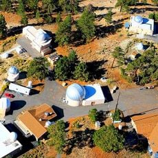
The area has several elementary schools, grocery stores, and basic services, but you will need a car to reach nearby cities. The infrastructure meets daily needs locally, but anything beyond requires traveling out of the area.

The area operates without formal city government, which shapes how resources are managed and planning decisions are made. This administrative structure sets it apart from incorporated cities in the region.

The community of curious travelers

AroundUs brings together thousands of curated places, local tips, and hidden gems, enriched daily by 60,000 contributors worldwide.

Start exploring
Elevation above the sea
811 m
GPS coordinates
34.61778,-117.83361
Latest update
December 20, 2025 16:12
Around this place
Bridge to Nowhere
United States of America

Bridge to Nowhere

38.1 km
Rogers Dry Lake
United States of America

Rogers Dry Lake

33.9 km
Devil's Punchbowl
United States of America

Devil's Punchbowl

23.2 km
Crystal Lake Recreation Area
United States of America

Crystal Lake Recreation Area

32.5 km
Scaled Composites Triumph
United States of America

Scaled Composites Triumph

23.4 km
San Gabriel Mountains National Monument
United States of America

San Gabriel Mountains National Monument

33.2 km
Mount Baden-Powell
United States of America

Mount Baden-Powell

29.5 km
Joe Davies Heritage Airpark
United States of America

Joe Davies Heritage Airpark

23.4 km
Antelope Valley Indian Museum State Historic Park
United States of America

Antelope Valley Indian Museum State Historic Park

3.9 km
Saddleback Butte State Park
United States of America

Saddleback Butte State Park

7 km
Table Mountain Observatory
United States of America

Table Mountain Observatory

29.7 km
Dry Town Water Park
United States of America

Dry Town Water Park

21.8 km
Littlerock Dam
United States of America

Littlerock Dam

22.7 km
Iron Mountain
United States of America

Iron Mountain

38.3 km
Mount Islip
United States of America

Mount Islip

30.4 km
Mount Burnham
United States of America

Mount Burnham

29.2 km
Vetter Mountain
United States of America

Vetter Mountain

39.9 km
United States of America

Waterman Mountain

32.7 km
Throop Peak
United States of America

Throop Peak

29.9 km
Windy Gap Trail
United States of America

Windy Gap Trail

30.6 km
Western Hotel
United States of America

Western Hotel

29.4 km
Stony Ridge Observatory
United States of America

Stony Ridge Observatory

38.3 km
Blackbird Airpark
United States of America

Blackbird Airpark

23.2 km
Moah:cedar
United States of America

Moah:cedar

29.4 km
Elyze Clifford Interpretive Center
United States of America

Elyze Clifford Interpretive Center

33.4 km
Century Circle
United States of America

Century Circle

31.7 km
Blackbird Airpark
United States of America

Blackbird Airpark

23.2 km
Vetter Mountain Lookout
United States of America

Vetter Mountain Lookout

39.9 km
Show the full map
Reviews
Share your experience

No review yet

Discussions
Start a discussion...

No discussion yet

« Lake Los Angeles - Census-designated place in Los Angeles County, United States » is provided by Around Us (aroundus.com). Images and texts are derived from Wikimedia project under a Creative Commons license. You are allowed to copy, distribute, and modify copies of this page, under the conditions set by the license, as long as this note is clearly visible.

Discover hidden gems everywhere you go!

From secret cafés to breathtaking viewpoints, skip the crowded tourist spots and find places that match your style. Our app makes it easy with voice search, smart filtering, route optimization, and insider tips from travelers worldwide. Download now for the complete mobile experience.

Around Us App Screenshot

A unique approach to discovering new places

Le Figaro

All the places worth exploring

France Info

A tailor-made excursion in just a few clicks

20 Minutes

Around Us
Travel Guide & Maps
Download

Send to your phone

QR Code
1

Open the camera app on your mobile.

2

Point at the QR code with your camera. A notification will appear.

3

Tap the notification to open the link.