
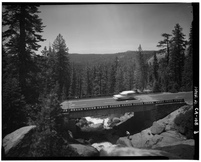
South Fork Tuolumne River Bridge, bridge in the Stanislaus National Forest, California
Location: Tuolumne County
GPS coordinates: 37.82342,-120.01345
Latest update: September 23, 2025 16:56
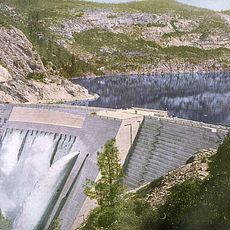
O'Shaughnessy Dam
24.1 km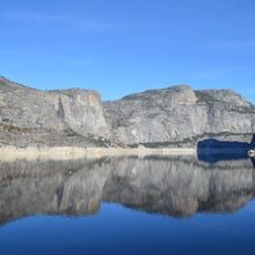
Hetch Hetchy Reservoir
27.4 km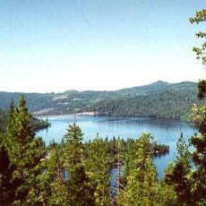
Cherry Lake
22 km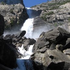
Wapama Falls
26.9 km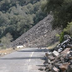
Ferguson landslide
21 km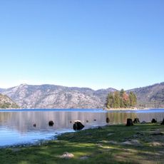
Lake Eleanor
20.9 km
Crane Flat Campground
20.5 km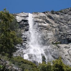
Tueeulala Falls
26.3 km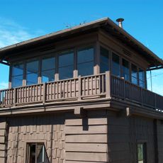
Crane Flat Fire Lookout
18.4 km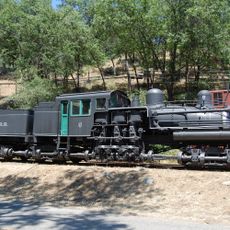
Hetch Hetchy Railroad 6
26 km
Tamarack Flat Campground
25.6 km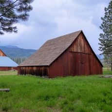
McCauley and Meyer Barns
26.7 km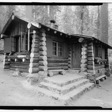
Merced Grove Ranger Station
17.4 km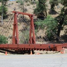
Bagby Stationhouse, Water Tanks and Turntable
26 km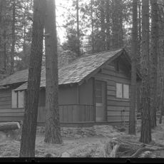
Frog Creek Cabin
23.2 km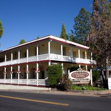
Groveland Hotel
19 km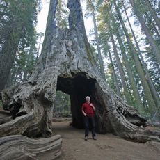
Dead Giant Tunnel Tree
19.3 km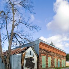
Gamble Building and Miner's Bean Kettle
21.4 km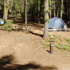
Crane Flat
16.2 km
Tamarack Flat
25.5 km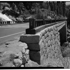
South Fork Tuolumne River Bridge
25.8 km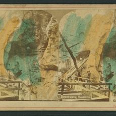
Bower Cave
8.6 km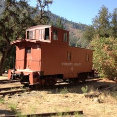
Yosemite Valley Railroad Caboose No. 15
26 km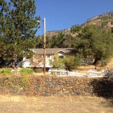
El Portal Old Schoolhouse
25.9 km
Groveland Ranger Station
7.4 km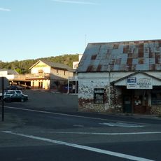
Coulterville Main Street Historic District
20.5 km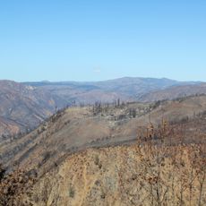
Rim of the World Vista
2.3 km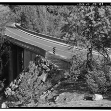
Wildcat Creek Bridge
28.2 kmReviews
Visited this place? Tap the stars to rate it and share your experience / photos with the community! Try now! You can cancel it anytime.
Discover hidden gems everywhere you go!
From secret cafés to breathtaking viewpoints, skip the crowded tourist spots and find places that match your style. Our app makes it easy with voice search, smart filtering, route optimization, and insider tips from travelers worldwide. Download now for the complete mobile experience.

A unique approach to discovering new places❞
— Le Figaro
All the places worth exploring❞
— France Info
A tailor-made excursion in just a few clicks❞
— 20 Minutes