Great Sierra Wagon Road
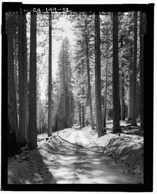
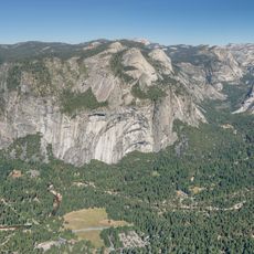
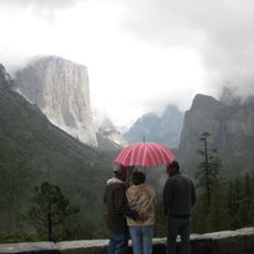
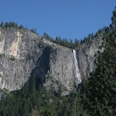
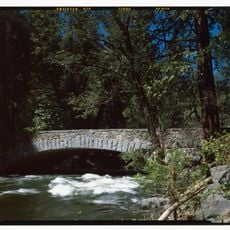
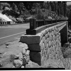
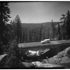
The Great Sierra Wagon Road is a 56-mile historic route built in 1883 that crosses the Sierra Nevada mountains. It stretches from near Yosemite Valley through Aspen Valley and White Wolf to Tuolumne Meadows and Bennettville, rising from about 4,200 feet (1,280 meters) to nearly 10,000 feet (3,050 meters) at its highest point.
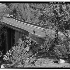
The road was constructed in 1883 within just a few months to supply mining operations around Tioga Hill, but lost importance as the mines became unprofitable. In 1915, Stephen T. Mather, who later became the first director of the National Park Service, acquired the route and integrated it into the federal system.
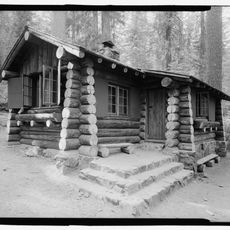
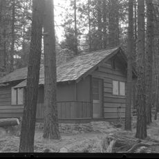
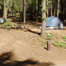
The road connected mining communities and served as a lifeline for commerce across the mountains during the mining era. Today, walking the historic route reveals how people once moved through this landscape and depended on such passages for their livelihoods.
The route is steep in places and requires reasonable fitness for hiking, especially at higher elevations. Visitors should plan for clear weather and be aware that snow and harsh conditions can make the route inaccessible during winter months.
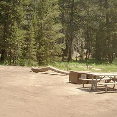
About 21 miles of the original route remain visible and walkable today, though some sections were later rerouted. The road, built entirely by hand tools, still shows the remarkable labor of around 250 Chinese and 90 white workers who completed it in less than four months during 1883.
The community of curious travelers
AroundUs brings together thousands of curated places, local tips, and hidden gems, enriched daily by 60,000 contributors worldwide.