Chest opened
+${chestReward.xp} XP
Explorer
NOUVEAU ×${chestReward.collectible.quantity}
tapez pour fermer

See the monuments around you in AR Open chests in the app

Around Us is built for your phone — point your camera at the streets and discover the monuments and places around you in augmented reality. Around Us is built for your phone — chests unlock when you walk, explore and capture nearby places.

Enable Location

We need your location to show you interesting places around you

Discover nearby places

Find interesting locations and hidden gems around you

Precise directions

Get accurate directions and distances to places

Your location is never shared with other users. It's only used when you tap the location button.

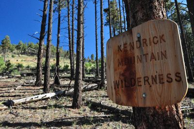
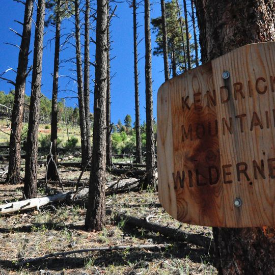
Kendrick Mountain Wilderness

Log in to your account

Start exploring — it's free

Trusted by 83,983 travelers worldwide

Continue with Google
Continue with Apple
or

We will send you a code to connect

By continuing, you accept our Terms and Conditions and our Privacy Policy

Check your inbox

We've sent a pincode in your inbox. Please enter the code below.

Discussion Reviews 1 Photos
1.6k Popularity

Kendrick Mountain Wilderness, US Wilderness Area in Coconino Plateau, Arizona.

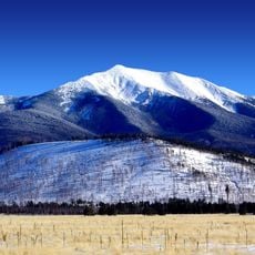
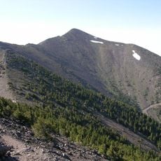
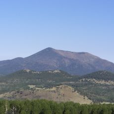
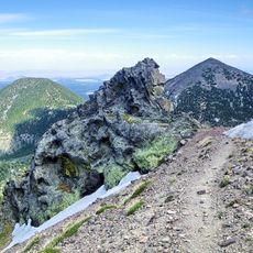
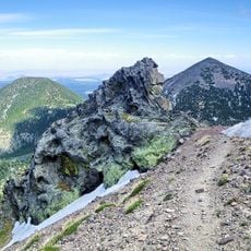
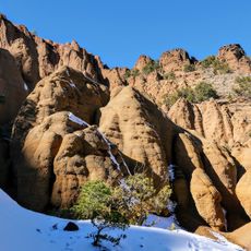
Kendrick Mountain Wilderness is a protected area in the Coconino Plateau featuring a 10,418-foot peak nestled within an active volcanic field, surrounded by mixed conifer forests. The slopes display the dark volcanic rock formations characteristic of the San Francisco volcanic landscape.

The wilderness area received its designation and name from Colonel John W. Kendrick, a military officer active in the region during the late 1800s. This protected status has preserved the mountain and its surroundings from development since its establishment.

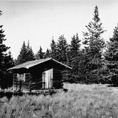
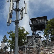
The fire lookout tower on the summit continues a tradition of forest protection that has been active for more than a century in this region.

Three marked hiking trails lead to the summit with a combined distance of roughly 14 miles, and visitors should plan to bring their own water supply. The region lacks dependable water sources along the routes, making preparation essential for a safe visit.

The mountain harbors a rare high-elevation species of pine, the Colorado pinyon, which grows at the summit alongside Engelmann spruce and limber pine in an unusual botanical combination. This mix of species offers a glimpse into how climate and elevation shape forest composition in volcanic terrain.

The community of curious travelers

AroundUs brings together thousands of curated places, local tips, and hidden gems, enriched daily by 60,000 contributors worldwide.
Start exploring
Location
Inception
1984
Operator
United States Forest Service
GPS coordinates
35.41207,-111.84411
Latest update
August 4, 2026 13:24
Around this place
Humphreys Peak
United States of America

Humphreys Peak

16.8 km
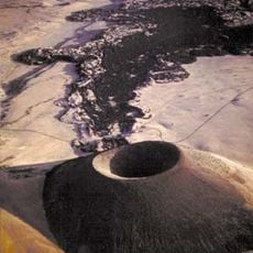
S P Crater
United States of America

S P Crater

27 km
United States of America

United States Naval Observatory Flagstaff Station

27.1 km
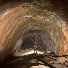
Lava River Cave
United States of America

Lava River Cave

7.8 km
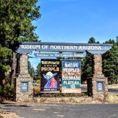
Museum of Northern Arizona
United States of America

Museum of Northern Arizona

25.6 km
Agassiz Peak
United States of America

Agassiz Peak

17.9 km
Kachina Peaks Wilderness
United States of America

Kachina Peaks Wilderness

18.4 km
Kendrick Peak
United States of America

Kendrick Peak

762 m
Fremont Peak
United States of America

Fremont Peak

19.4 km
Keyhole Sink
United States of America

Keyhole Sink

22.1 km
Doyle Peak
United States of America

Doyle Peak

20.2 km
United States of America

Braeside Observatory

26 km
United States of America

C. Hart Merriam Base Camp Site

16 km
Pioneer Museum--Arizona Historical Society
United States of America

Pioneer Museum--Arizona Historical Society

27.1 km
United States of America

Cedar Mountain

24.8 km
Red Mountain Trail #159
United States of America

Red Mountain Trail #159

13.6 km
Volunteer Lookout Cabin
United States of America

Volunteer Lookout Cabin

22.1 km
Kendrick Mountain Fire Lookout Cabin
United States of America

Kendrick Mountain Fire Lookout Cabin

484 m
Volunteer Lookout Tower
United States of America

Volunteer Lookout Tower

22.1 km
United States of America

Arizona Veterans Memorial Cemetery

19.4 km
United States of America

San Francisco Peaks Natural Area

15.1 km
United States of America

Dry Lake

26.6 km
United States of America

Humphreys Peak B-24 Bomber Crash Site

16.1 km
United States of America

Scenic viewpoint

26.5 km
United States of America

Scenic viewpoint

25 km
United States of America

Scenic viewpoint

26.4 km
United States of America

Scenic viewpoint

25.2 km
United States of America

Scenic viewpoint

26.6 km
Show the full map
Reviews
Share your experience

No review yet

Discussions
Start a discussion...

No discussion yet

« Kendrick Mountain Wilderness - US Wilderness Area in Coconino Plateau, Arizona » is provided by Around Us (aroundus.com). Images and texts are derived from Wikimedia project under a Creative Commons license. You are allowed to copy, distribute, and modify copies of this page, under the conditions set by the license, as long as this note is clearly visible.

Discover hidden gems everywhere you go!

From secret cafés to breathtaking viewpoints, skip the crowded tourist spots and find places that match your style. Our app makes it easy with voice search, smart filtering, route optimization, and insider tips from travelers worldwide. Download now for the complete mobile experience.

Around Us App Screenshot

A unique approach to discovering new places

Le Figaro

All the places worth exploring

France Info

A tailor-made excursion in just a few clicks

20 Minutes

Around Us
Travel Guide & Maps
Download

Send to your phone

QR Code
1

Open the camera app on your mobile.

2

Point at the QR code with your camera. A notification will appear.

3

Tap the notification to open the link.