Chest opened
+${chestReward.xp} XP
Explorer
NOUVEAU ×${chestReward.collectible.quantity}
tapez pour fermer
Chest locked

Open chests in the app

Around Us is built for your phone — chests unlock when you walk, explore and capture nearby places.

Enable Location

We need your location to show you interesting places around you

Discover nearby places

Find interesting locations and hidden gems around you

Precise directions

Get accurate directions and distances to places

Your location is never shared with other users. It's only used when you tap the location button.

Jackpot

Log in to your account

Start exploring — it's free

Trusted by 72,889 travelers worldwide

Continue with Google
Continue with Apple
or

We will send you a code to connect

By continuing, you accept our Terms and Conditions and our Privacy Policy

Check your inbox

We've sent a pincode in your inbox. Please enter the code below.

Discussion Reviews 2 Photos
34.6k Popularity

Jackpot, Census-designated place in Elko County, Nevada, United States

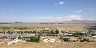
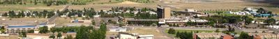
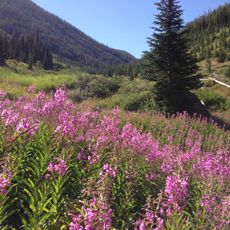
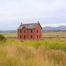
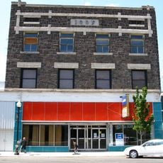
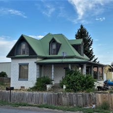
Jackpot is a small mountain settlement in northeastern Nevada near the Idaho border, situated along U.S. Route 93 at an elevation of about 1,589 meters (5,213 feet). The community consists mainly of casinos and accommodations spread along the main road.

The settlement began in 1954 and was initially called Horse Shu before being renamed Jackpot in 1959. The new name reflected the growing importance of gambling establishments as the economic heart of the place.

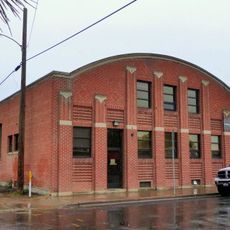
Casinos shape the local landscape and draw visitors from the surrounding region who come specifically to gamble. Daily life centers around these establishments, which drive the local economy for residents.

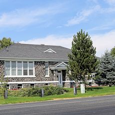
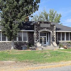
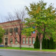
The settlement has a local school and library, and commercial flights operate from an airport about 100 kilometers (60 miles) away. It is wise to check ahead whether specific facilities are open, as the place is small.

The place owes its growth to a geographic quirk: it sits just south of the Idaho border, where gambling is prohibited. This strategic location made it a popular destination for people from the north who wanted to gamble.

The community of curious travelers

AroundUs brings together thousands of curated places, local tips, and hidden gems, enriched daily by 60,000 contributors worldwide.

Start exploring
Location
Inception
1954
Elevation above the sea
1,589 m
GPS coordinates
41.98127,-114.66510
Latest update
December 19, 2025 22:35
Around this place
Shoshone Falls
United States of America

Shoshone Falls

71.8 km
Snake River Canyon
United States of America

Snake River Canyon

71.7 km
Perrine Bridge
United States of America

Perrine Bridge

71.1 km
City of Rocks National Reserve
United States of America

City of Rocks National Reserve

80.3 km
Twin Falls
United States of America

Twin Falls

72.3 km
Jarbidge Wilderness
United States of America

Jarbidge Wilderness

59.5 km
Twin Falls Idaho Temple
United States of America

Twin Falls Idaho Temple

69.9 km
Pillar Falls
United States of America

Pillar Falls

71.4 km
Hansen Bridge
United States of America

Hansen Bridge

71.8 km
A. N. Tanner House
United States of America

A. N. Tanner House

71.3 km
Canyonside School
United States of America

Canyonside School

77.3 km
Marys River Peak
United States of America

Marys River Peak

62.8 km
Falls City School House
United States of America

Falls City School House

80.4 km
Buhl IOOF Building
United States of America

Buhl IOOF Building

69.2 km
Dick Callen House
United States of America

Dick Callen House

78.4 km
Jacob B. Van Wagener Barn
United States of America

Jacob B. Van Wagener Barn

80 km
Edgar Johnson House
United States of America

Edgar Johnson House

78.9 km
George Epperson House
United States of America

George Epperson House

78.5 km
Ramona Theatre
United States of America

Ramona Theatre

69.1 km
O. J. Daniels House
United States of America

O. J. Daniels House

75.9 km
Burton Morse House
United States of America

Burton Morse House

66.8 km
Achille Duquesne House
United States of America

Achille Duquesne House

65.8 km
Lincoln Elementary School
United States of America

Lincoln Elementary School

66.5 km
Dierkes Lake Park
United States of America

Dierkes Lake Park

72 km
Twin Falls City Park Historic District
United States of America

Twin Falls City Park Historic District

66.3 km
Shoshone Falls Park
United States of America

Shoshone Falls Park

71.3 km
Twin Falls Milling and Elevator Company Warehouse
United States of America

Twin Falls Milling and Elevator Company Warehouse

65.5 km
Hansen Bridge
United States of America

Hansen Bridge

71.8 km
Show the full map
Reviews
Share your experience

No review yet

Discussions
Start a discussion...

No discussion yet

« Jackpot - Census-designated place in Elko County, Nevada, United States » is provided by Around Us (aroundus.com). Images and texts are derived from Wikimedia project under a Creative Commons license. You are allowed to copy, distribute, and modify copies of this page, under the conditions set by the license, as long as this note is clearly visible.

Discover hidden gems everywhere you go!

From secret cafés to breathtaking viewpoints, skip the crowded tourist spots and find places that match your style. Our app makes it easy with voice search, smart filtering, route optimization, and insider tips from travelers worldwide. Download now for the complete mobile experience.

Around Us App Screenshot

A unique approach to discovering new places

Le Figaro

All the places worth exploring

France Info

A tailor-made excursion in just a few clicks

20 Minutes

Around Us
Travel Guide & Maps
Download

Send to your phone

QR Code
1

Open the camera app on your mobile.

2

Point at the QR code with your camera. A notification will appear.

3

Tap the notification to open the link.