Chest opened
+${chestReward.xp} XP
Explorer
NOUVEAU ×${chestReward.collectible.quantity}
tapez pour fermer
Chest locked

Open chests in the app

Around Us is built for your phone — chests unlock when you walk, explore and capture nearby places.

Enable Location

We need your location to show you interesting places around you

Discover nearby places

Find interesting locations and hidden gems around you

Precise directions

Get accurate directions and distances to places

Your location is never shared with other users. It's only used when you tap the location button.

Joseph City

Log in to your account

Start exploring — it's free

Trusted by 72,888 travelers worldwide

Continue with Google
Continue with Apple
or

We will send you a code to connect

By continuing, you accept our Terms and Conditions and our Privacy Policy

Check your inbox

We've sent a pincode in your inbox. Please enter the code below.

Discussion Reviews 1 Photos
12.6k Popularity

Joseph City, Mormon settlement along Route 66 in Navajo County, Arizona.

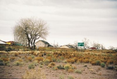
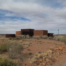
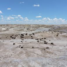
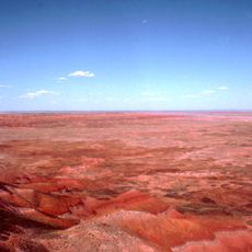
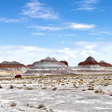
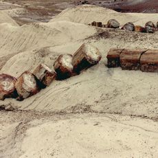
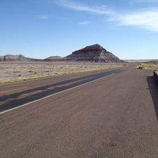
Joseph City is a small settlement in northeastern Arizona near the historic Route 66, located in an area of open land and scattered buildings. The community sits at elevation in a semi-arid landscape where the Little Colorado River flows through the region.

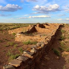
The settlement was founded in 1876 by Mormon pioneers and went through two name changes before becoming Joseph City. These shifts in naming reflected the community's evolution and its growing role in the Arizona Territory.

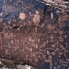
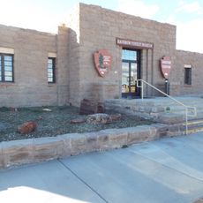
The settlement carries strong roots in the Church of Jesus Christ of Latter-day Saints, which shaped its founding and early development. Visitors can sense this heritage in how the community maintains its historic buildings and local traditions.

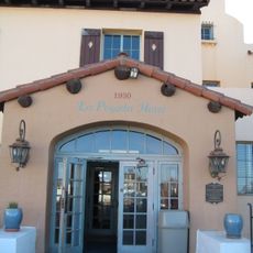
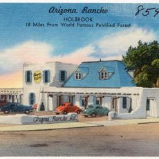
The location sits right along Interstate 40 with easy access to lodging, dining, and fuel services for travelers. Keep in mind this is a very small community, so services may be limited and it is best to plan ahead when possible.

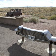
The Jack Rabbit Trading Post opened in 1949 and features an outsized rabbit statue that has become a famous landmark along the old Route 66 corridor. The site draws road trippers and photographers who stop to capture the quirky roadside attraction.

The community of curious travelers

AroundUs brings together thousands of curated places, local tips, and hidden gems, enriched daily by 60,000 contributors worldwide.

Start exploring
Location
Inception
1876
GPS coordinates
34.95583,-110.33389
Latest update
December 7, 2025 20:44
Around this place
Standin' on the Corner Park
United States of America

Standin' on the Corner Park

34.1 km
Wigwam Motel
United States of America

Wigwam Motel

16.3 km
Chevelon Creek Bridge
United States of America

Chevelon Creek Bridge

18.2 km
Homolovi State Park
United States of America

Homolovi State Park

28 km
La Posada Historic District
United States of America

La Posada Historic District

33.7 km
Brigham City
United States of America

Brigham City

33.3 km
Agate House Pueblo
United States of America

Agate House Pueblo

46.3 km
Newspaper Rock Petroglyphs Archeological District
United States of America

Newspaper Rock Petroglyphs Archeological District

48.8 km
Arizona Rancho
United States of America

Arizona Rancho

16.9 km
Puerco Ruin and Petroglyphs
United States of America

Puerco Ruin and Petroglyphs

49.3 km
Lorenzo Hubbell Trading Post and Warehouse
United States of America

Lorenzo Hubbell Trading Post and Warehouse

34.6 km
Rainbow Forest Museum
United States of America

Rainbow Forest Museum

45.5 km
Agate Bridge
United States of America

Agate Bridge

49.8 km
Jasper Forest
United States of America

Jasper Forest

48.5 km
Rainbow Forest
United States of America

Rainbow Forest

44.8 km
Crystal Forest
United States of America

Crystal Forest

51.1 km
Giant Logs Trail
United States of America

Giant Logs Trail

45.4 km
Petrified Forest National Wilderness Area
United States of America

Petrified Forest National Wilderness Area

51.3 km
Chinde Point
United States of America

Chinde Point

51.2 km
The Tepees South Pullout
United States of America

The Tepees South Pullout

50.9 km
Jasper Forest Viewpoint
United States of America

Jasper Forest Viewpoint

48.6 km
Whipple Point
United States of America

Whipple Point

50.5 km
Route 66 Pullout
United States of America

Route 66 Pullout

49.4 km
Giant Logs
United States of America

Giant Logs

45.5 km
Lacey Point
United States of America

Lacey Point

49.9 km
Obed Road Bridge
United States of America

Obed Road Bridge

1.8 km
The Tepees North Pullout
United States of America

The Tepees North Pullout

50.9 km
Rainbow Forest Complex
United States of America

Rainbow Forest Complex

45.5 km
Show the full map
Reviews
Share your experience

No review yet

Discussions
Start a discussion...

No discussion yet

« Joseph City - Mormon settlement along Route 66 in Navajo County, Arizona » is provided by Around Us (aroundus.com). Images and texts are derived from Wikimedia project under a Creative Commons license. You are allowed to copy, distribute, and modify copies of this page, under the conditions set by the license, as long as this note is clearly visible.

Discover hidden gems everywhere you go!

From secret cafés to breathtaking viewpoints, skip the crowded tourist spots and find places that match your style. Our app makes it easy with voice search, smart filtering, route optimization, and insider tips from travelers worldwide. Download now for the complete mobile experience.

Around Us App Screenshot

A unique approach to discovering new places

Le Figaro

All the places worth exploring

France Info

A tailor-made excursion in just a few clicks

20 Minutes

Around Us
Travel Guide & Maps
Download

Send to your phone

QR Code
1

Open the camera app on your mobile.

2

Point at the QR code with your camera. A notification will appear.

3

Tap the notification to open the link.