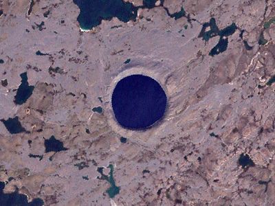
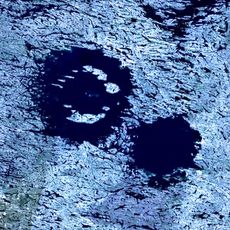
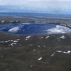
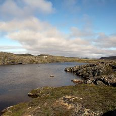
Pingualuit Crater, Impact crater in Rivière-Koksoak, Canada.
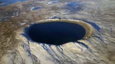
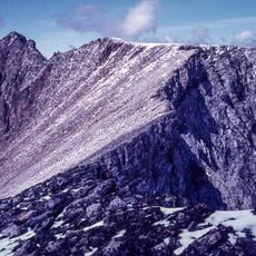
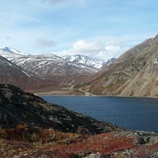
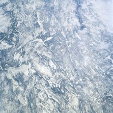
Pingualuit Crater is an impact structure about 3.44 kilometers across in northern Quebec, containing a lake roughly 267 meters deep at its center. The lake holds freshwater of exceptional purity, and the crater features a raised rim that stands noticeably above the flat surrounding tundra.
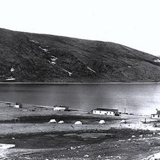
The crater was first photographed and documented by United States Army Air Force pilots during a meteorological flight in 1943. Scientific investigations began in the 1950s, which led to formal recognition of this site as an impact crater.
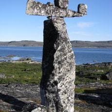
Local Inuit communities named this formation Pingualuit, meaning pimples in Inuktitut, a reference to how the raised rim stands out above the surrounding tundra. The name reflects how indigenous peoples observed and described the landscape they inhabited.
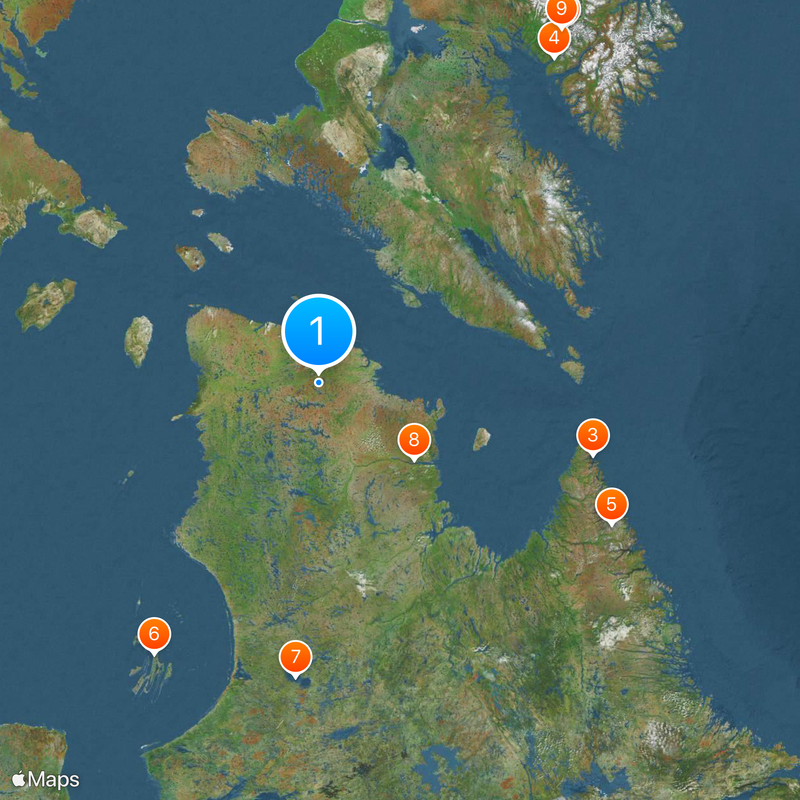
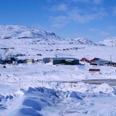
The site is reachable only by chartered private flights, as it lies within Pingualuit National Park in a remote region with no regular transportation services. Visitors should prepare for extreme weather conditions and arrange access well in advance.
The lake's water is so pure it contains only about three parts per million of dissolved minerals, placing it among the clearest freshwater bodies in the world. This exceptional clarity makes the water visibly different from most other lakes and holds scientific value for environmental research.
The community of curious travelers
AroundUs brings together thousands of curated places, local tips, and hidden gems, enriched daily by 60,000 contributors worldwide.